Lynn Amber - Travel & Photography
sharing my thoughts through words and images
Davis Mountain State Park
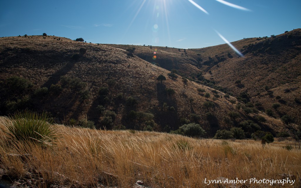
After leaving Big Bend National Park, we decided to stop over at the Davis Mountains State Park in Fort Davis, Texas before heading west towards Arizona. We love this state park and the surrounding area. It’s a great place to hang out for a couple of days after boon-docking in Big Bend. We can connect to shore power and re-stock supplies and it’s an easy 3-hour, 140 mile trek from Big Bend.
Since this was an abbreviated visit this year, we only stayed for a couple of days and I accomplished one solo major hike while here. The reason for the solo hike was that my husband decided he needed to do some maintenance on the truck while parked here. He wanted to get the oil changed before proceeding with our journey. We visited the fuel station in Fort Davis to see if they could do this quick service but he was booked solid. He did sell us the necessary supplies and Jim decided to do this at the campsite. Now, I’m sure that changing your oil at a campsite here is probably discouraged (if not prohibited) and, while I knew that my husband is extremely careful, I did not want to be around while he was doing it! So, I chose a long hike and proceeded on my way!
The Skyline Drive Trail is a 5.2-mile round-trip hike that takes you to the top of the hill overlooking Fort Davis and the surrounding valley. I had not completed this hike in our previous visit to this park so it was fun to explore a new trail. It was a beautiful, clear blue sky day and the temperatures were moderate albeit a tad windy!
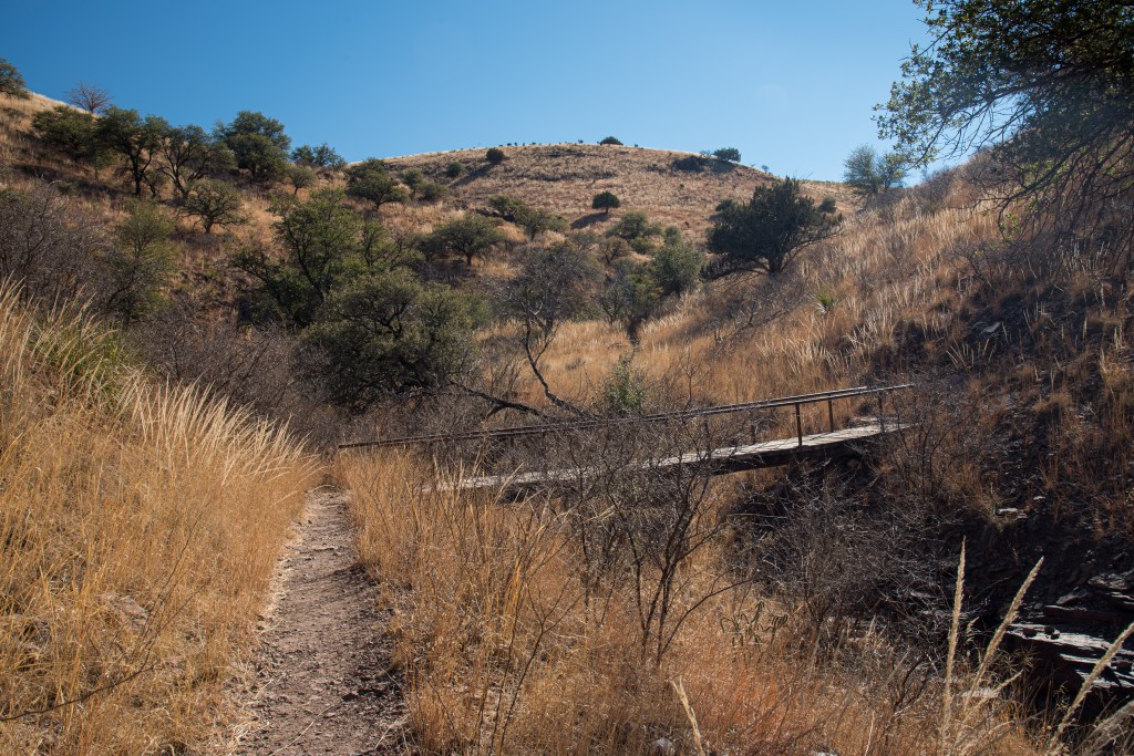
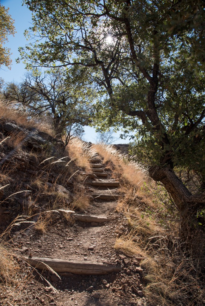
There are a series of switchbacks that take you up the steepest section of the trail. At one point, a trail sign was damaged and pointed in the wrong direction. I took the wrong trail at this point but it still brought me out in the same place at the top of the hill. I discovered this when descending back down the trail! Once on the ridge, there are a couple of great overlooks that look down onto Keesey Canyon and towards the Davis Mountains.
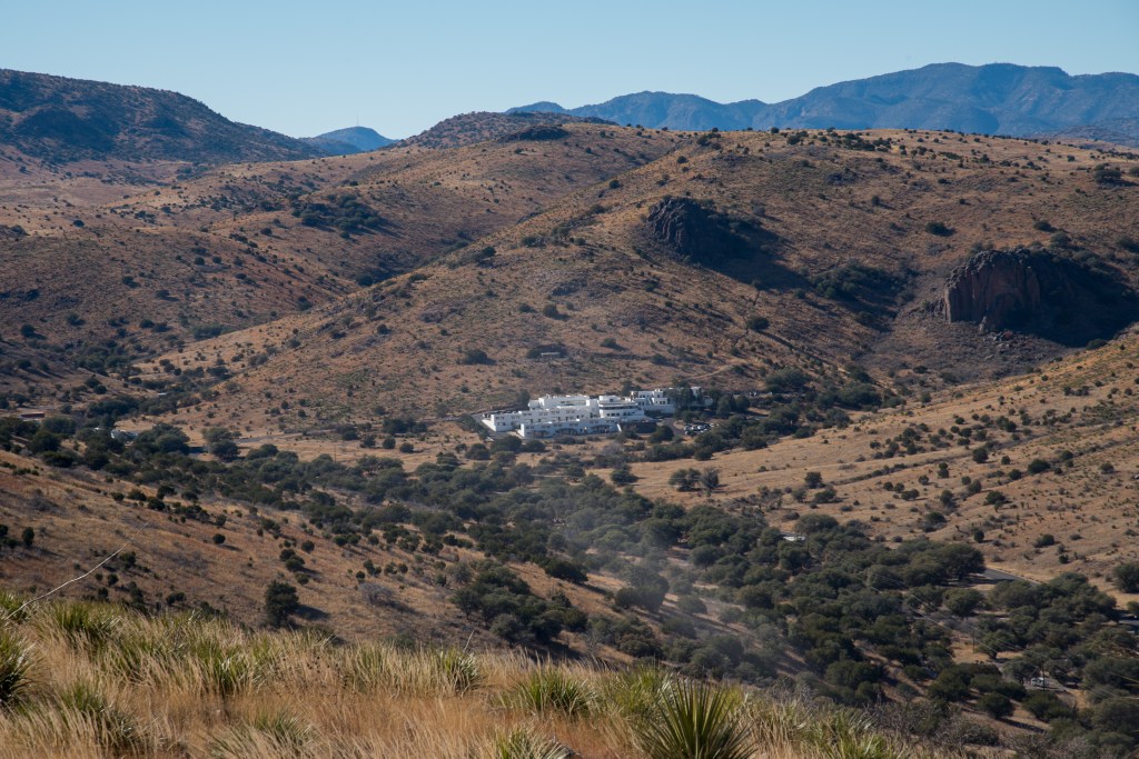
Indian Lodge is an historic, full-service hotel located within Davis Mountain State Park. The original section of the adobe structure was built by the Civilian Conservation Corps in the 1930’s. Renovations and additions were made to the lodge in the 1960’s. More information can be found here and also here. So, if you are not a camping enthusiast you can still enjoy the area in absolute pampered comfort!!
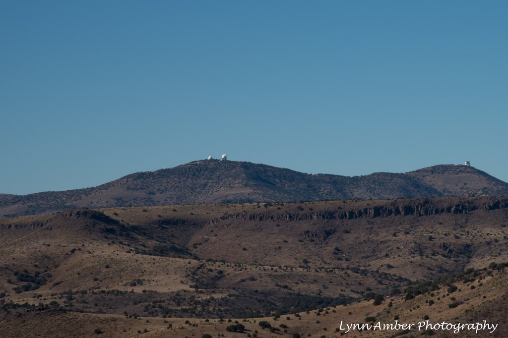
From the overlook on the ridge, the McDonald Observatory is also visible. On our last visit, we signed up for a night sky astronomy program at the observatory. I highly recommend visiting this observatory that is connected to the University of Texas at Austin. The observatory is positioned on two mountain summits – Mount Locke and Mount Fowlkes – where it can take advantage of some of the darkest skies in the country! Visit their website for more information on signing up for one of their year-round programs and brief “about” page describing its telescopes and mission.
I took advantage of the elevation on the ridge where I could pick up a cell signal and connect with family. Near the top of the trail is a picnic area located off the Skyline Drive car access road. I sat down to eat my snack and called mom to get caught up with her after being without cell service in Big Bend. It was a very relaxing hike with minimal pedestrian traffic on the trail. Some of the views at the top and descending:
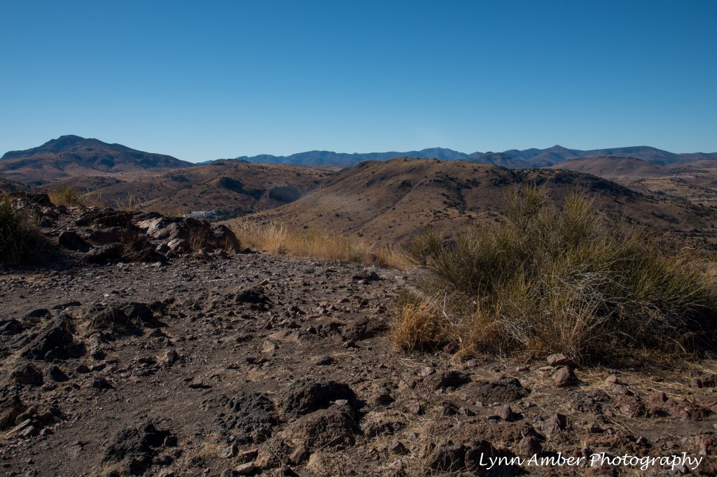
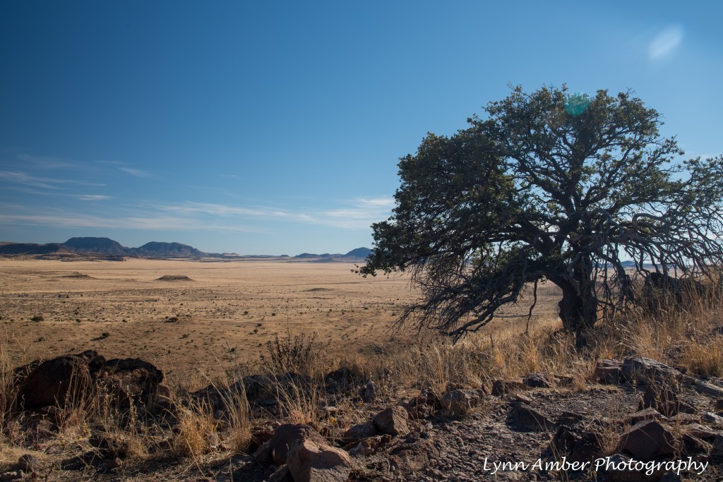
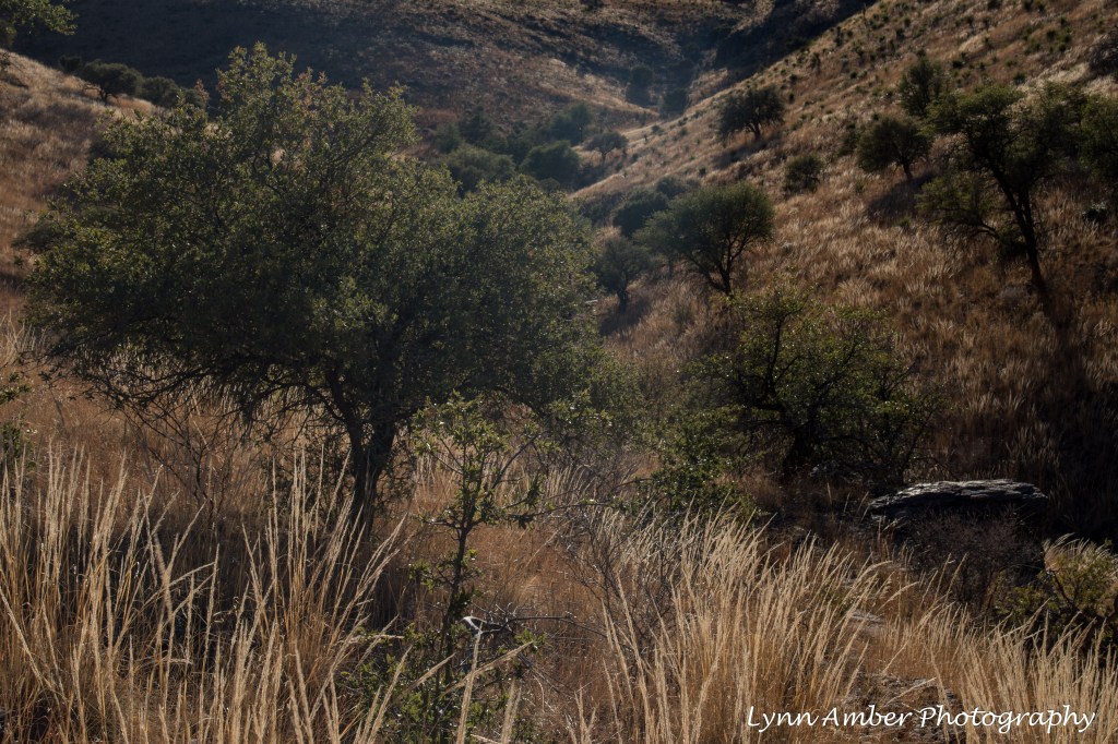
The sun was starting to disappear behind the hills on my descent back to the campground. The colors of the grasses were lit up with the late afternoon light.
I highly recommend visiting Fort Davis and the Davis Mountains. We have easily spent an entire week here exploring the park and surrounding attractions. The Fort Davis National Historic Site is adjacent to the state park and provides a fascinating look into frontier life in this area. You can walk to the site from the state park. Another worthwhile side trip, the Chihuahuan Desert Nature Center is a short drive from Fort Davis and offers a comprehensive guide to the diversity of the desert environment. Check out the visitor center, botanical gardens and museum here!
The town of Alpine has lots of shopping and a university museum called the Museum of the Big Bend. The mission statement of the museum: “The Mission of the Museum of the Big Bend, a Department of Sul Ross State University, is to serve and educate the public by collecting, preserving, exhibiting and interpreting the cultural, historic and natural materials that relate to the prehistory, history and cultural diversity of the Big Bend region of Texas and Mexico.” This will be added to my to-do list on our next visit!!
For those adventurous types, a trip to this area is not complete without a stop at the Marfa Lights exhibit. On our last trip here, we spent the night at the Marfa Lights parking area. We did not see any unusual phenomena but it was still fun!!
One final note! I need to put a plug in for the awesomeness of small town public libraries. Since there is no cell service in the state park, I visited the Jeff Davis County Library in Fort Davis to use their free internet access. Libraries are by far the best resource for internet access while traveling on the road. (and I’m not just saying that as a former librarian!) The staff was friendly and welcoming. I also seek out libraries when I’m in need of new reading material. While checking out books is not an option since I’m on the move, libraries often have on-going book sales and it’s possible to pick up cheap, discarded books! I perused the selection on the library book sale table and was able to purchase some great reads for 1.00 each!!
Big Bend Revisited II
Day 3
On Day 3 of our brief visit, we decided to do a short hike into Tuff Canyon and then head into the town of Study Butte for fuel and groceries.
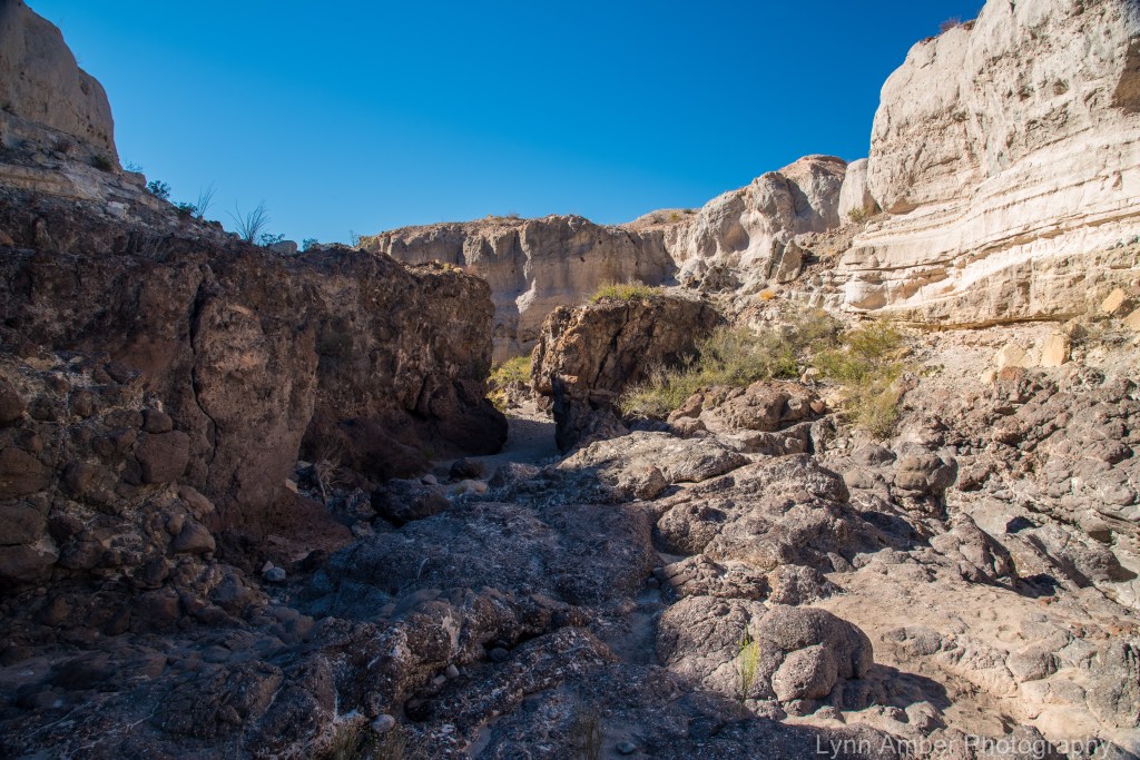
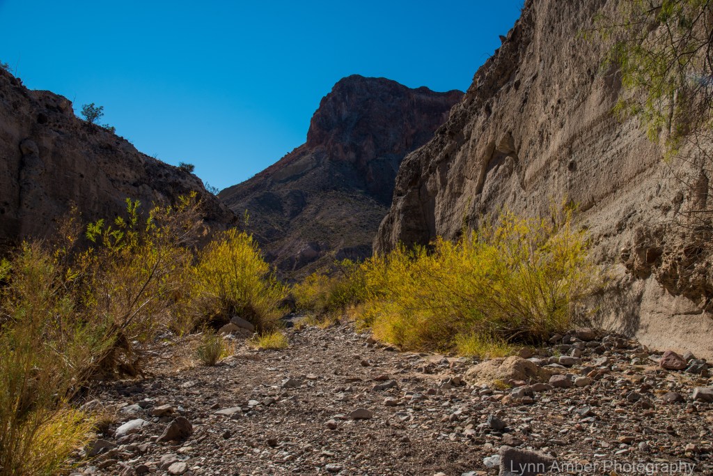
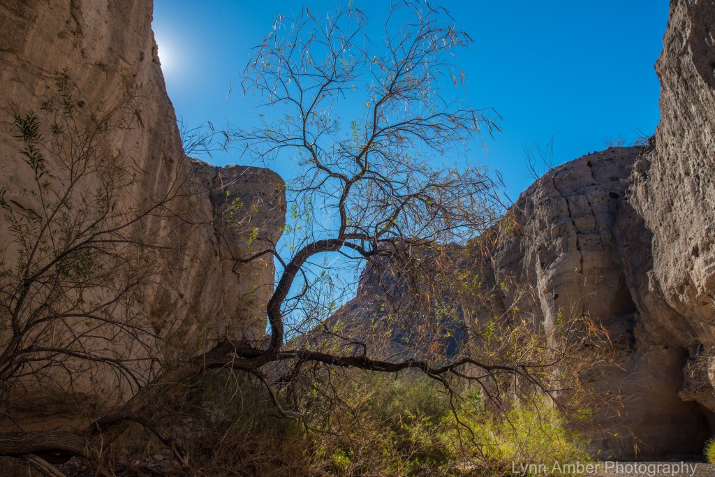
Tuff Canyon Trail is a short walk down into the canyon formed by the Blue Creek as it fought its way down to the Rio Grande River from the Chisos Mountains. Once you complete the short descent into the canyon, it’s a nice walk along the gravelly river bed floor up towards the “beginning” of the canyon. Formed through volcanic action many years ago, the canyon’s rock dates back to 29 million years ago. Tuff is volcanic ash that has hardened into rock and is light in color – hence the almost “white” hue to some layers of the canyon walls. It’s interesting to note the texture of the “tuff.” Embedded in the tuff are harder rocks that gives it a “concrete-like” appearance with pebbles and small rock mixed into it. We noticed holes in the surface of the canyon walls and wondered how they were formed. I read that the tuff erodes easily and allows the small rocks to fall out of the wall leaving a hole in the wall!


After leaving Tuff Canyon, we drove to the west entrance of the park and on towards Study Butte. While this is a very small community, it does have an awesome little grocery store! We discovered this on our last visit to the area. The Cottonwood General Store sells a little bit of everything – from food to garden supplies. Their food selection is incredible for such a small town with lots of organic choices and prices that are very reasonable for its size. For a few items, it sure beats the 80-mile trip to Alpine!
After taking care of our chores in Study Butte and on our way back to the campsite, we decided to drive the Old Maverick Road. This is a 14-mile stretch of dirt road running from the western gate of Big Bend to Santa Elena Canyon through the “Terlingua Creek badlands.” Designated as an “improved” road, it is said to be passable by most vehicles except in rainy weather and can be very washboarded. We talked with someone prior to embarking on the drive who indicated it took them about an hour. We must have driven much slower due to the conditions than this person as it took us close to two hours!! While I’m glad we included this on our to-do list, never again!! It was more heavily trafficked than I anticipated and very dusty!! We even passed by an unfortunate soul who was changing a flat tire after picking up a sharp rock in one of the creek beds where the road passes through at times. We kept our fingers crossed that we did not succumb to this undesirable fate!
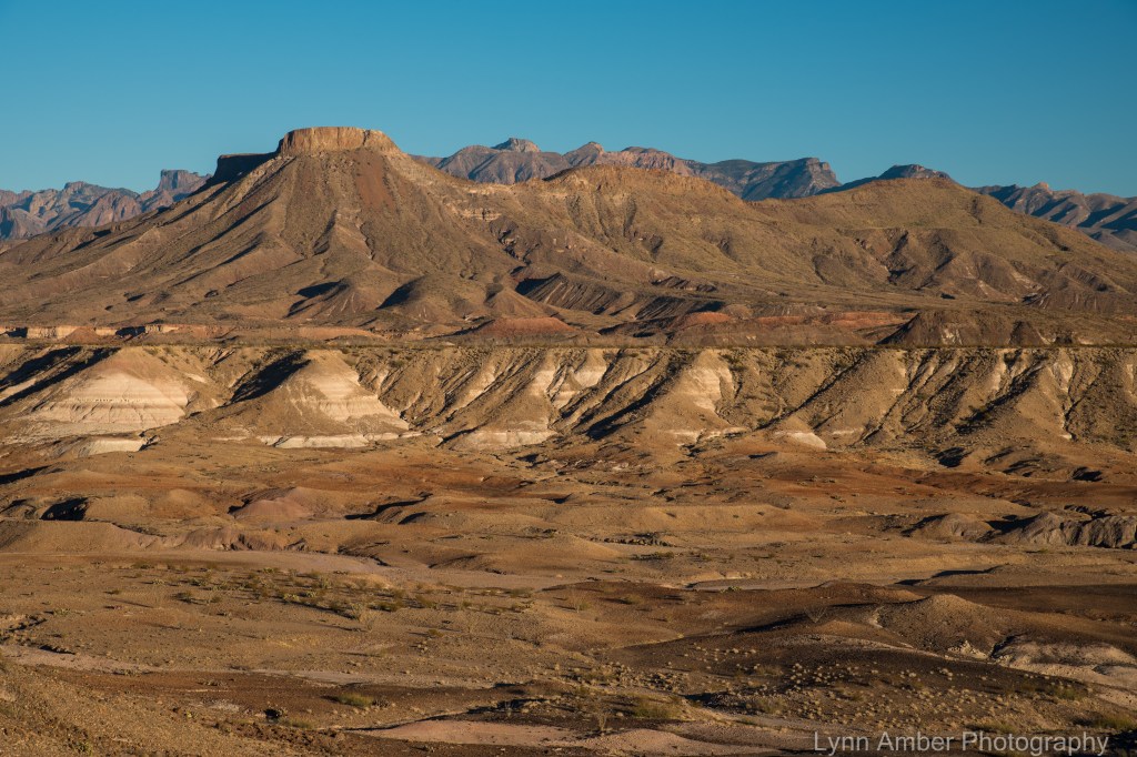

We arrived back at our campsite just as the sun was setting – thankful that our bumpy ride on the Old Maverick Road did not vibrate loose anything important to the operation of the truck!
Day 4
Our last full day in the park I scheduled a hike on the Dodson Trail. One access point for this trail is at the Homer Wilson Ranch on the Ross Maxwell Scenic Drive in the western part of the park. We have visited the historic ranch site on previous trips but had not hiked any of the trail leaving from this point.
The Dodson Trail is part of the rigorous Outer Mountain Loop trail network – a popular route for backpackers. The trail itself is 10-miles long. We did an out and back hike that ended up being approximately 5 miles. There are parts of the trail where rock cairns are used to mark the trail through a wash which can be difficult to follow – just be aware!
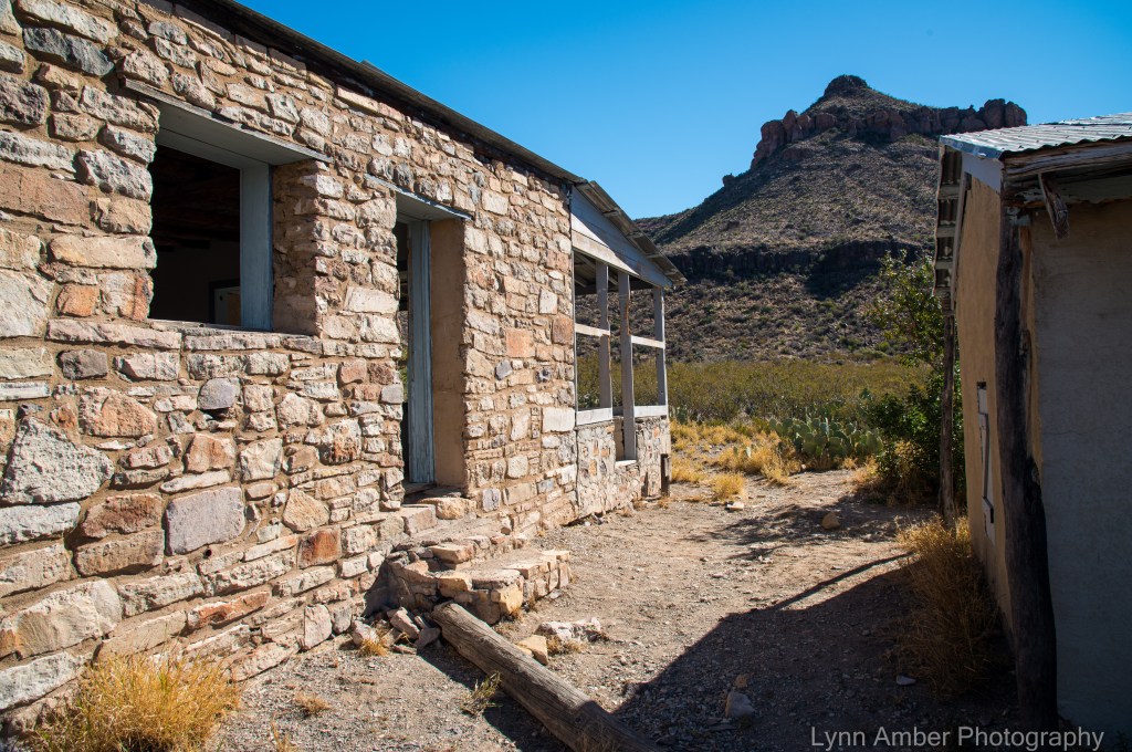
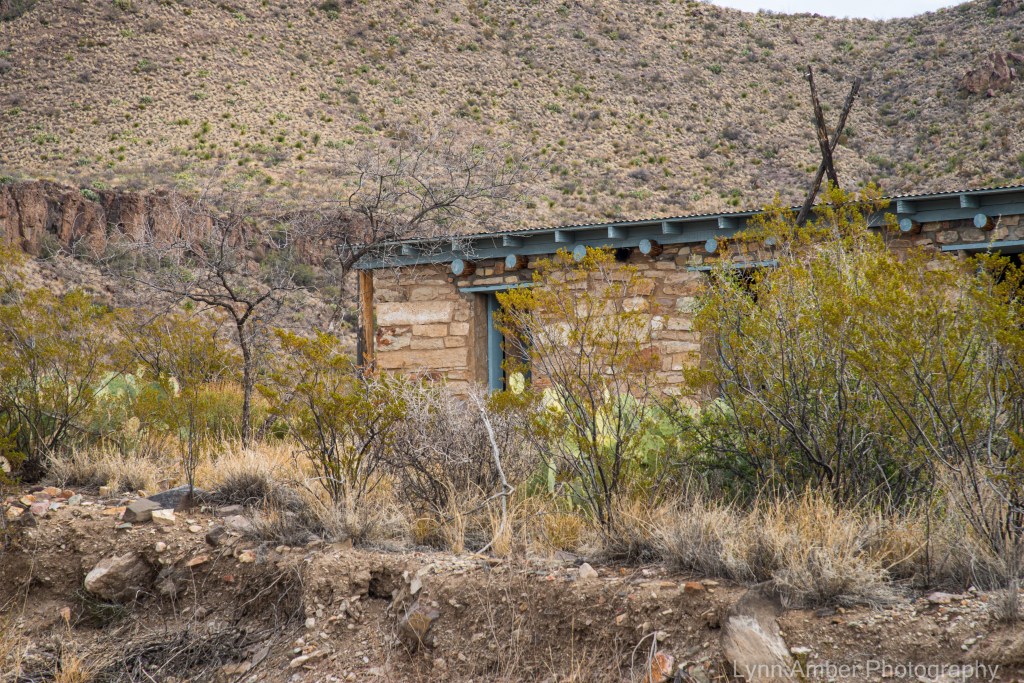
The Dodson Trail starts near the ranch house which is accessed via a short hiking trail from the small parking lot on the Ross Maxwell Scenic Drive. This ranch house was part of a large ranching operation owned by Homer Wilson and was significant in bringing development to the area back in the day. It was operating until the early 1940’s when the land was deeded to the State of Texas when the land was acquired for establishing a park. The house above was occupied by a foreman who worked for the ranch. It is one of the few ranch structures remaining after the park was established and is on the National Register for Historic Places.

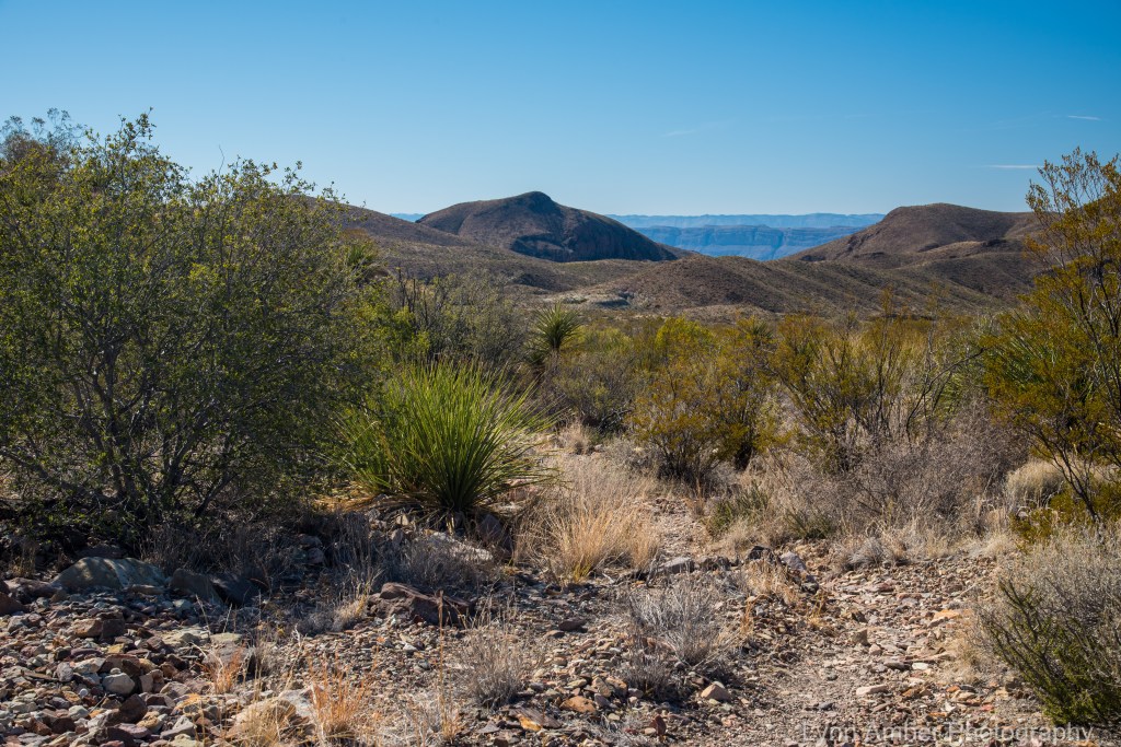

This area of the park is abundant with the Common Sotol plant – also referred to as Desert Spoon and Desert Candle. The leaves of this plant have traditionally been used to make baskets, mats, ropes and paper. The native population also prepared an alcoholic beverage from the flower heads.
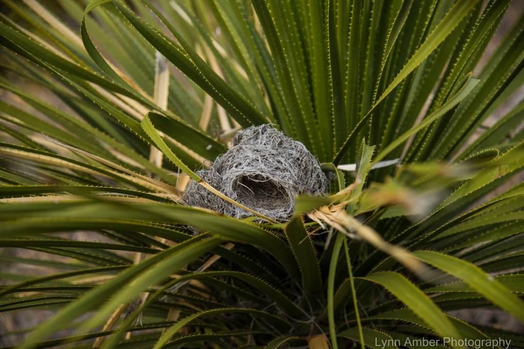
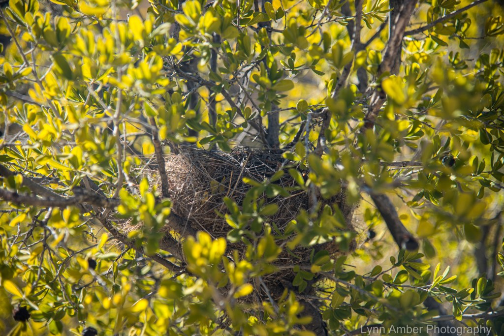
Found this nest in one of the sotol plants. I think perhaps it is a cactus wren nest given how it seems to match the description of their nest type and shape.

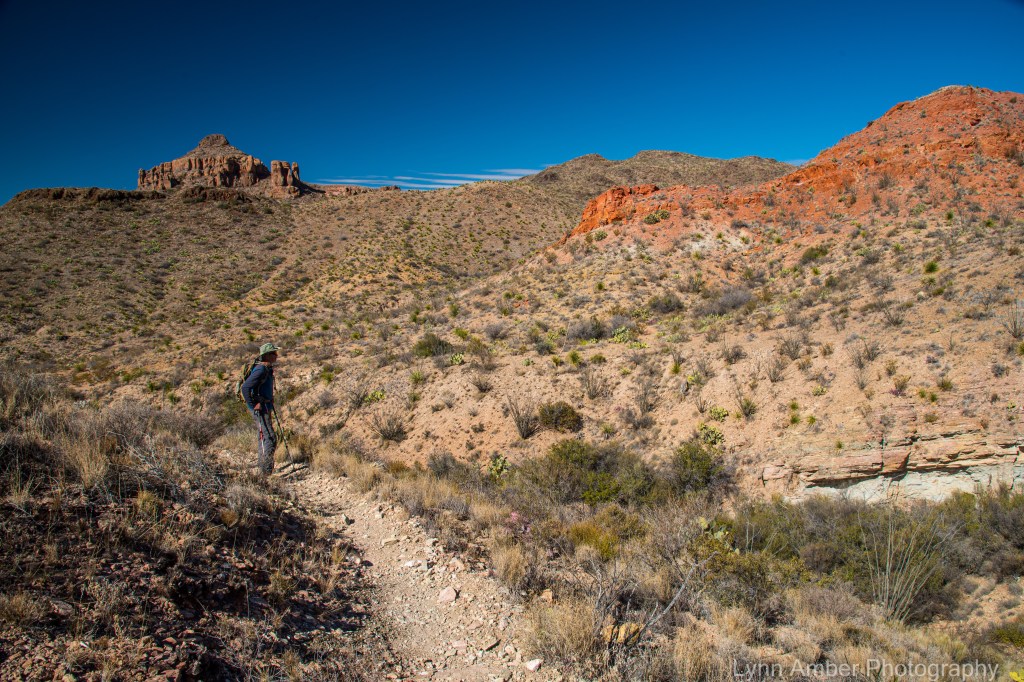
The colors of the topography along the trail were amazing! A geologist’s paradise!


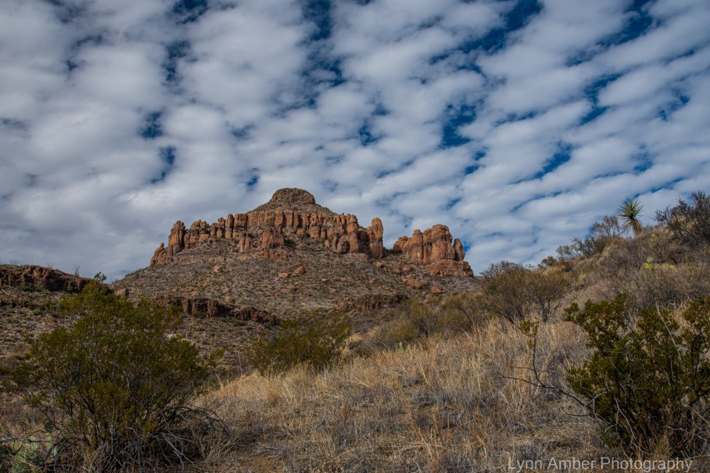
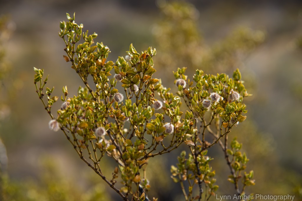
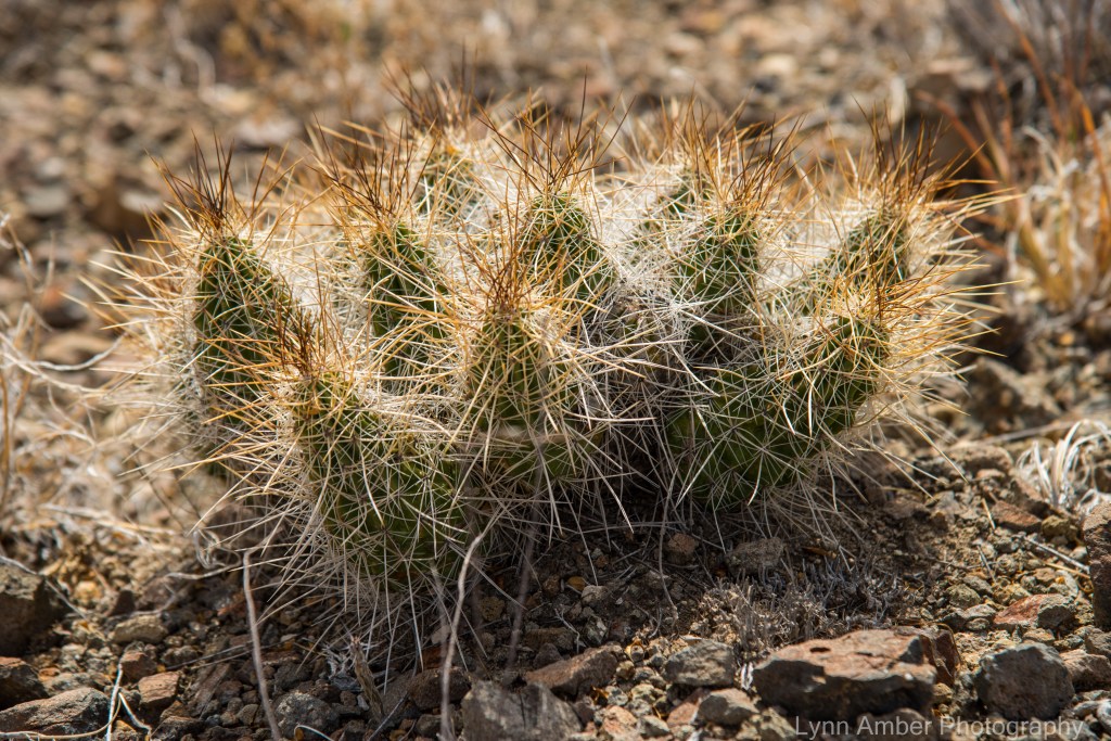
After we returned to the campground, I walked down to an access trail leading to the Rio Grande River. It runs alongside the campground but is not very visible due to plant growth. I was so surprised by how “small” the river is right here. The opposite bank is Mexico – you can literally throw a stone across to the other side.

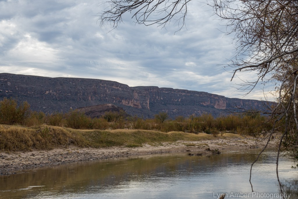
That night, our last in Big Bend, we were rewarded with an incredibly colorful sunset!! The sky was on fire!


It was sad to leave Big Bend but I was excitedly looking forward to our next big stop – a place that has been on my bucket list for a few years – Organ Pipe Cactus National Monument in Southern Arizona. But, I’m getting ahead of myself! We made a quick stop at Davis Mountain State Park before heading west……
Big Bend National Park Revisited

Big Bend National Park is quite possibly our all-time favorite national park. We’ve visited the park several times over the years and our last visit at the beginning of January 2022 re-ignited our love of this breathtaking area.
Many things have changed since our last visit in 2017. Over the past several years, the National Park Service has revised some of its policies regarding camping. It has become increasingly difficult to travel without reservations. (A mode of travel we prefer due to the flexibility it offers) We liked the fact that Big Bend NP used to offer first come/first serve options for camping – both in organized campgrounds and in dispersed camping. Unfortunately, one can no longer travel to Big Bend without reservations if you plan on camping. It used to be one could not reserve dispersed camping sites in advance. Now you have to reserve them up to 6 months in advance! We prefer the dispersed camping in Big Bend but when we arrived without reservations for this visit all of the sites that would accommodate us were taken. I was lucky to find a “cancellation” in Cottonwood Campground while searching online several days before our anticipated arrival. I grabbed this spot for several nights.
The park has also seen an increase in visitation over the past several years (like all national parks). What was once a hidden gem is no longer. 😦 For this reason, we opted to focus our adventures in the western, desert section of the park near our camping spot at Cottonwood Campground. It meant less traveling in the truck and more time on the trail with less people vying for trailhead parking spaces!
Day 1
We arrived at Cottonwood Campground in the early afternoon and set up camp. Since our stay here in 2017, they have done some major maintenance in this campground – leveling up sites and taking down old, hazardous cottonwood trees. We were sad to learn of a disastrous fire that engulfed the area in May of 2019. Some of the historic buildings (including the one that housed the visitor center) in the Castelon Historic District were destroyed along with over 900 acres of surrounding land. We also learned that in May of 2021, the South Rim Fire engulfed nearly 1,300 acres of forest in the beautiful Chisos Basin area. Although sad to think about the destruction it caused, rangers noted the importance of fire to the ecology of the natural landscape and the assurance that the forest will bounce back and thrive.
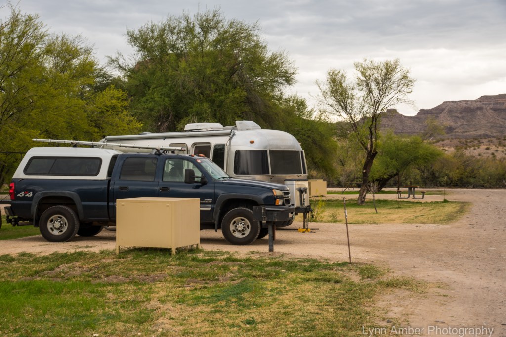
Cottonwood Campground is a small out of the way spot and much quieter than the other two campgrounds in the park. The sites generally do not accommodate large RV’s and it is dry camping with no dump station nearby. There are pit toilets and a fresh water source for filling up gallon jugs. We always arrive with a full tank of fresh water and empty gray and black water tanks!
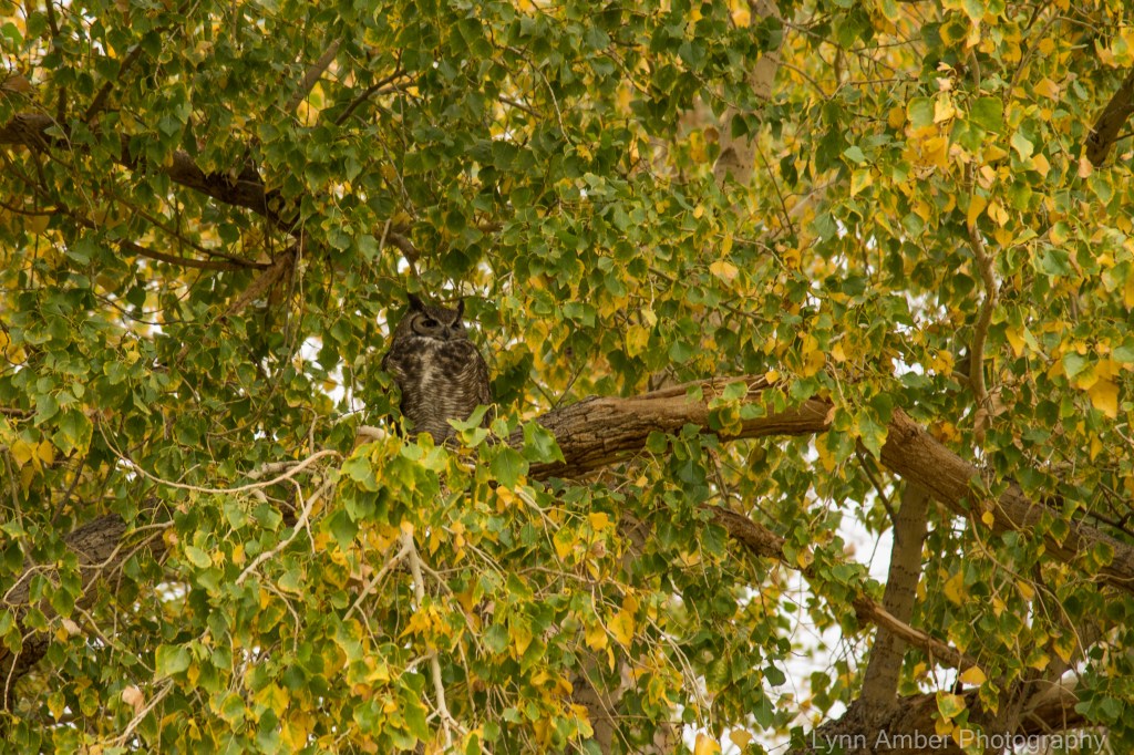
As we were setting up camp, one of the camp hosts insisted we come with her to see the “resident” Great-horned Owl that was perched in one of the cottonwood trees in the campground!
After we were settled in, we had time for the short drive down to Santa Elena Canyon. It was fairly busy and since we did not have water shoes with us to cross over and hike the short trail into the canyon, we just bushwhacked along the wash for a spell to stretch our travel-weary legs and headed back home to our site. We developed a plan to come back for the sunrise in the morning.


Day 2
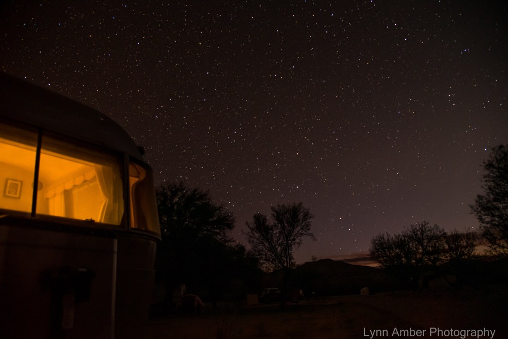
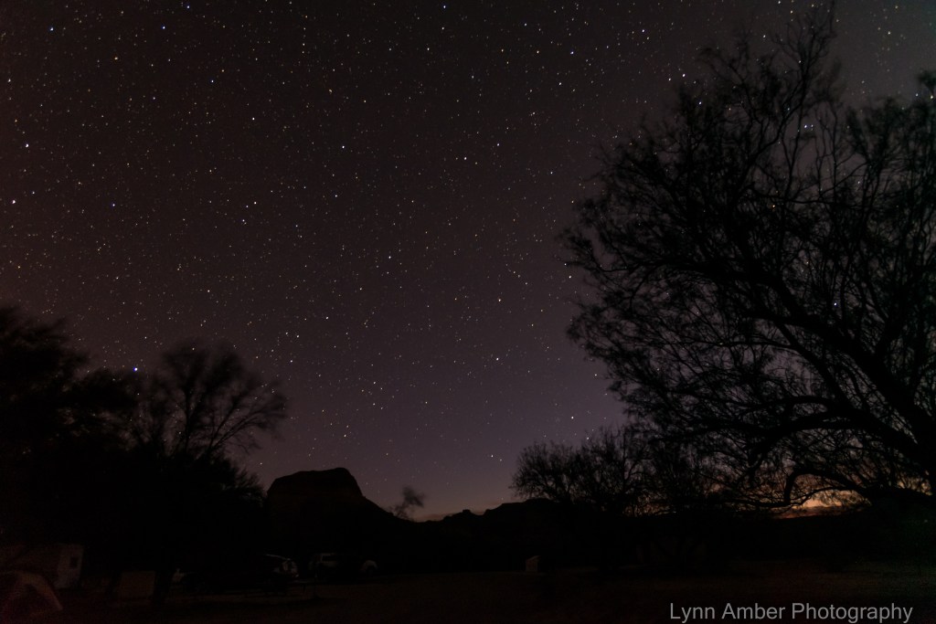
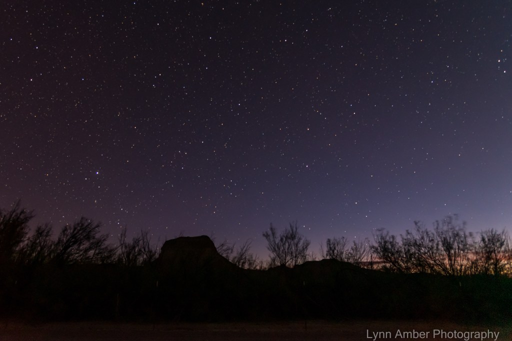
Last night I decided to get up in the pre-dawn hours and attempt some “star” photography. My camera lens is not really fast enough to get clear, crisp photographs of the night sky but I like to practice anyway! The sun was just starting to rise on the horizon when I went outside but the stars were still very bright.
I wanted to get over to the Santa Elena Canyon Overlook before sunrise, so we brewed a quick cup of coffee, grabbed some breakfast biscuits and headed out for the 8-mile drive to the overlook. We were the only ones there so I had my pick of spots to set up the tripod. It was amazing to watch the changing light on the canyon as the sun rose in the sky.

On our way back to the campground after sunrise, I wanted to stop at the Dorgan House trailhead to take some pictures. Before we reached the trail, we passed by some cattle crossing the road! What!! Cattle grazing in a national park?? I was shocked that this was happening. We found out later from the camp hosts that these are renegade cows who crossed the border illegally from Mexico! Every now and then, the Mexican ranchers come over and retrieve them while the park rangers look the other way! 🙂

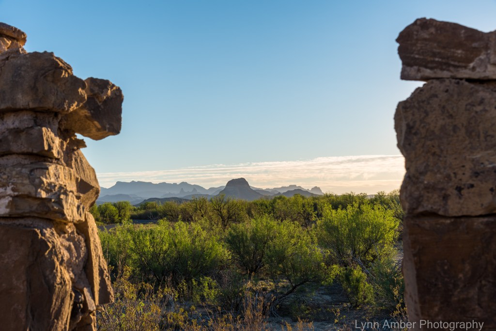
At the ruins near the beginning of the Dorgan House Trail, I sought to capture the early morning light as it was settling over the desert. It is such a magical time of the day!
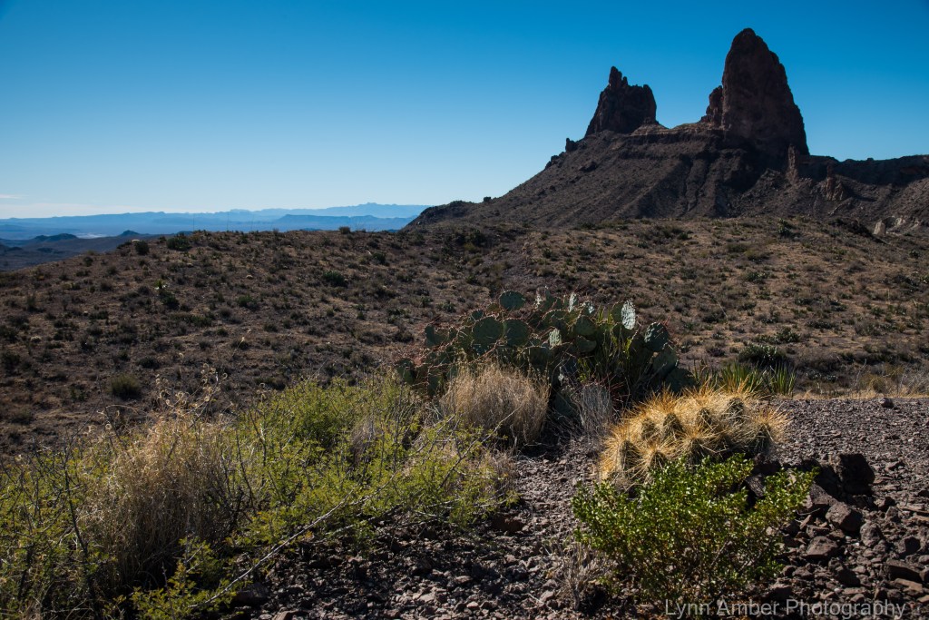
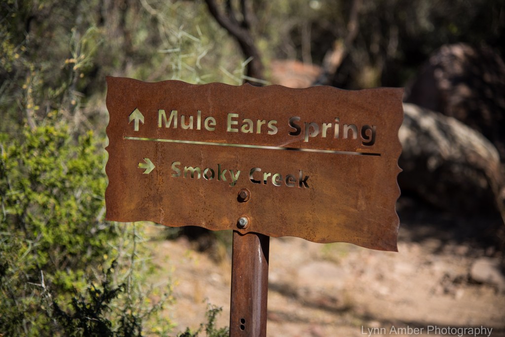
Our morning romp in the Santa Elena Canyon area proved to be the start of a very busy day! We fixed ourselves a more sustainable breakfast back at camp and headed out to hike the Mule Ears Trail. Here’s a link to a short description of this trail as well as many other popular Big Bend NP hikes. We have hiked this trail on previous visits but today I wanted to extend the hike by hooking up with the Smokey Creek Trail that intersects the Mule Ears Trail. It was an out and back 5+ mile hike.
In the parking lot at the Mule Ears Overlook, we met a gentleman who was gearing up to do a multiple night camping trip in the back country. He told us his nickname was “Fonzie”! (as in the Henry Winkler TV personality) He then added that his real name is Christopher Reeves. “Really!”, he said! He has been backpacking in Big Bend NP for over 25 years and gave us a ton of information on the process involved in securing a permit. He was a very entertaining conversationalist! He obviously is enamored with the park. I loved his comment about how he gauges whether someone is deserving of his friendship. He takes new acquaintances backcountry camping in Big Bend and, if they are not completely enthusiastic with the experience, he deems them unworthy of his friendship and time! Not a bad litmus test I suppose! 🙂
We mentioned that we were going to hike a portion of the Smokey Creek Trail so he said he would show us one of his favorite backcountry camping spots. It meant we had to hike all the way to the high point of the trail before it descends down into the valley below. We committed to hiking that far. He would probably pass us on the trail but would take a break and wait for us near the camping spot.
The Chihuahuan Desert is one of four major desert regions in the United States. Each desert region is unique with regard to both flora and fauna. The Chihuahuan Desert is considered to be one of the most diverse deserts in this area of the world. The park service has a great, succinct description of the special place. It’s no wonder I find this park so incredibly fascinating!
As we started our hike, I was enthusiastic about familiarizing myself with the southwest flora. On our hike, I paid special attention to the plant material we encountered along the way!
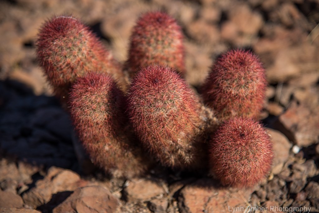
This sweet little cactus was growing all along the trail. The multi-color stems of this tiny cactus are what gives this cactus its name – Texas Rainbow Cactus.
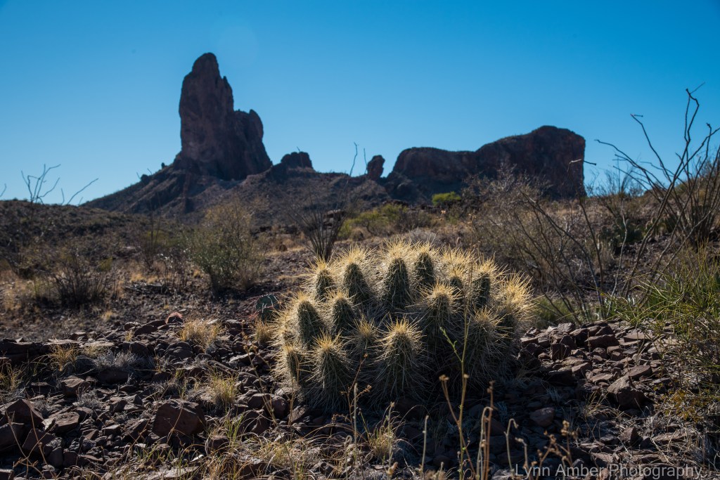
The light was catching the cream-colored spines of this hedgehog cactus creating a glow I could not resist photographing! I believe this is a Strawberry Hedgehog Cactus. There are a few related species but this one is listed as common across the lower desert elevations. I’ve included two possible species for this plant but I believe it is the “stramineus.”
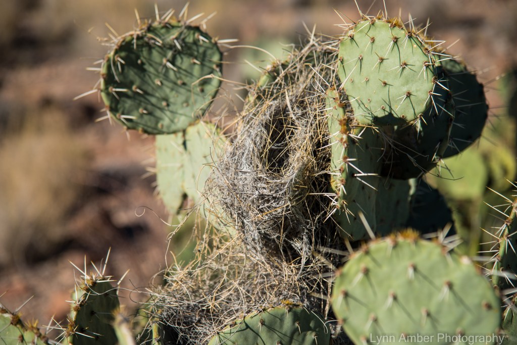
There are close to sixteen species of Opuntia (Prickly Pear cactus) in the Big Bend ecosystem. They can be hard to identify due to extensive natural hybridization. Prickly Pear are a common nesting site for both Cactus Wrens and Curve-billed Thrashers. The cactus wren nest is a football-shaped nest with entrances on both sides – easily distinguished from the thrasher nest which is more bowl-shaped.
Among the many other plant species I re-discovered are the creosote bush, lechuguilla, mesquite and ocotillo.
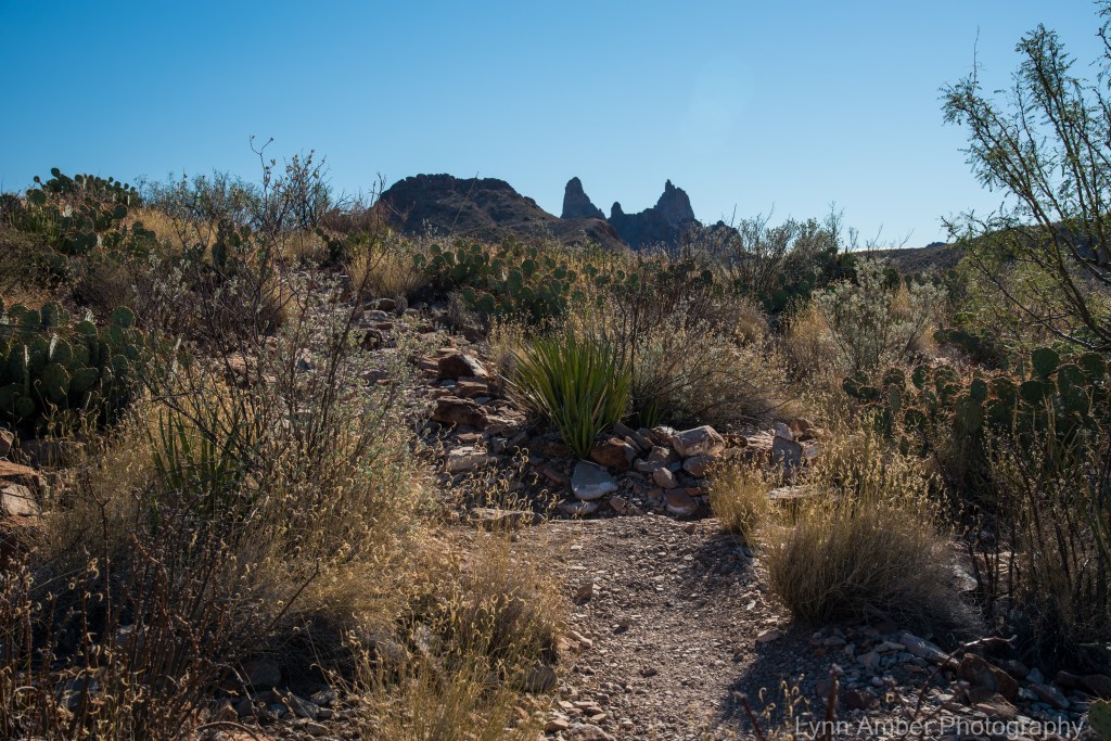
At about the time when I thought we should be approaching the furthest point of our hike, we found Fonzie waiting for us along the trail enjoying the scenery. He escorted us to his favorite backpacking campsite that was just up and over a small hill rendering it invisible from the trail. Can you imagine what it would be like viewing the sunrise or sunset from here??!! Or, star-gazing late at night? This destination for an overnight has been added to my bucket list! 🙂

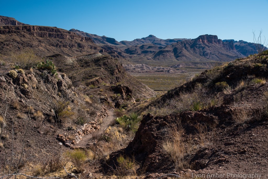
After meeting up with Fonzie, he continued on into the valley to look for a camping spot and we reversed course and headed back to Mule Ear’s Overlook parking area. Along the way, we took the short detour to the Mule Ear’s Spring.
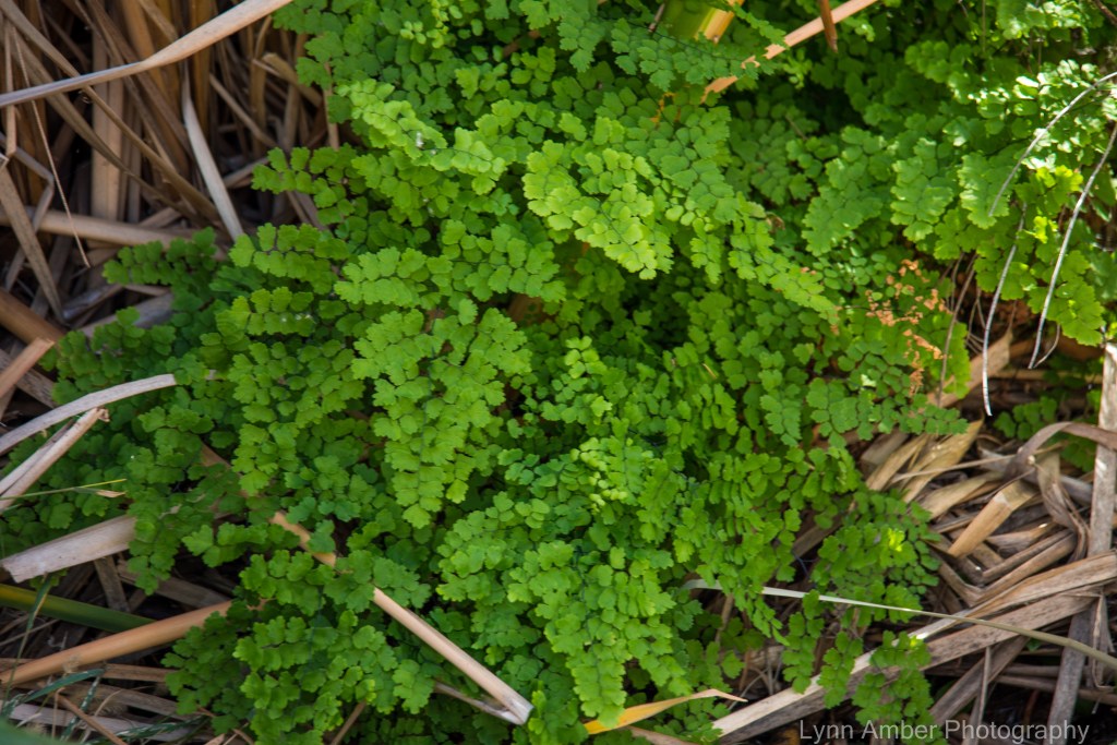
The Mule Ears Spring is a tiny oasis in the desert. These bright green maidenhair ferns were growing along the spring and rock walls surrounding the area.
As we were investigating the spring, we noticed these tiny green frogs all over the place! I think these may be Rio Grande Leopard Frogs – Rana berlandieri. They are listed as common in Big Bend from the Rio Grande River to the mountain foothill springs.

There was an interesting shrub growing near the spring with these orange seed pods. The species is Guaiacum angustifolium – Texas Lignum-vitae or Soapbush.

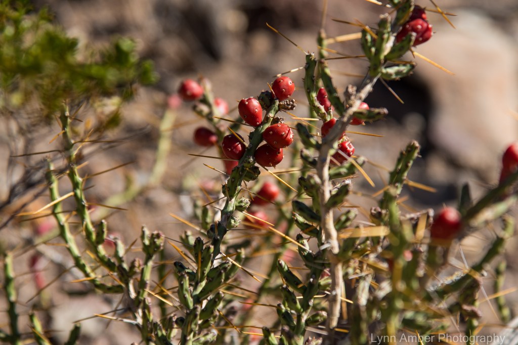
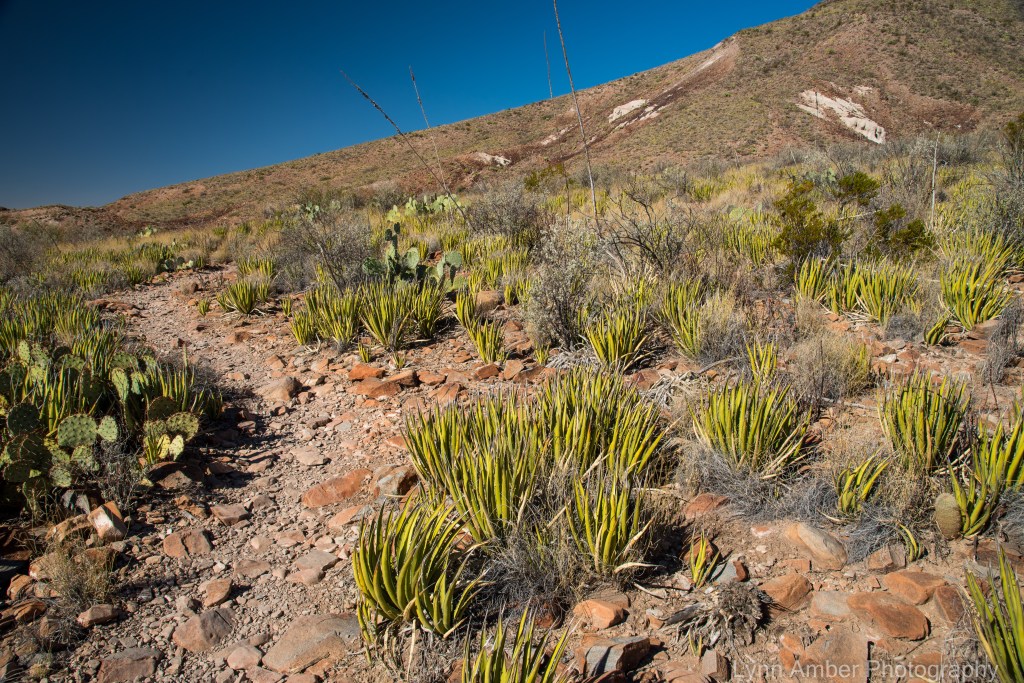
On the trail back to the parking area, the Christmas Cholla was showing off it’s red fruit and a “grove” of lechuguilla was growing among the volcanic rock.

After our hike, we headed back to the campground for dinner and got ready for our final activity of the day – taking star shots at a desert overlook near Santa Elena Canyon. Even though, as I mentioned before, my lens is not really fast enough for great night photography, I keep practicing with the settings and editing of night photographs. Someday I will take the plunge and spend the $$ for a faster, wide-angle lens.

Day 3 and Day 4 will be on the next post!! We are visiting our son in California right now and have access to high-speed internet so hopefully I can get caught up on our adventures while I’m here before starting the next leg of our journey!
New Desert Plant

We were walking out in the desert in KOFA National Wildlife Refuge the other day – winding our way through one of the many washes. A spot of bright red color caught my eye. I was thrilled to find this delicate little flower on a shrub unknown to me. When I looked up the name for this small beauty, I found it to be a shrub that thrives in the southern Arizona desert and a favorite nectar stop for hummingbirds. Cool! 🙂
Desert Art

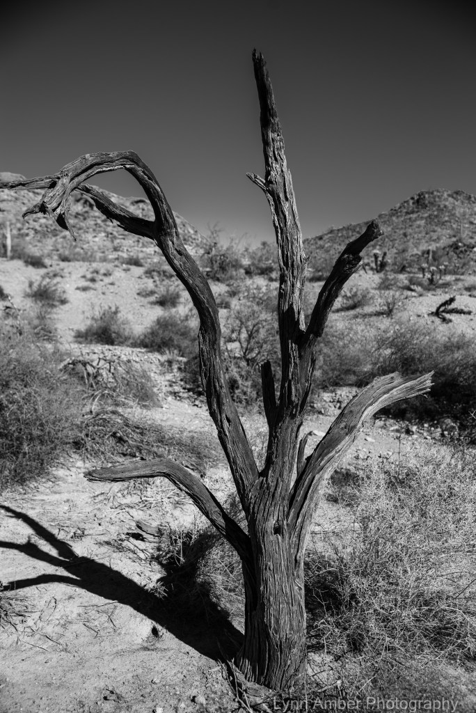
There’s not much blooming in the Arizona desert right now so my focus has been on other interesting objects in the landscape – from dead plants to human debris.
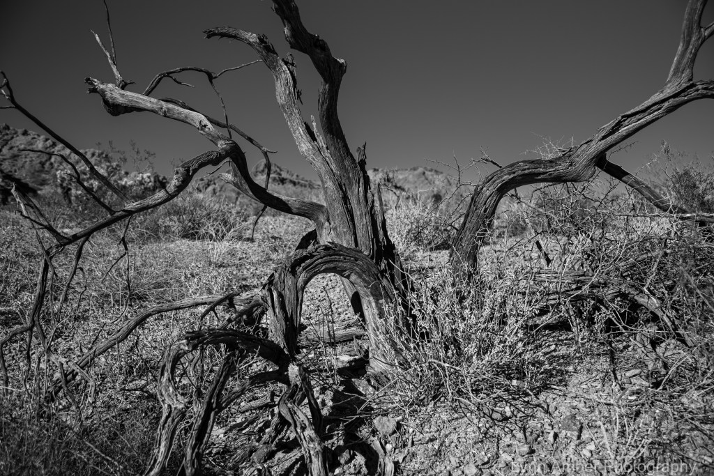
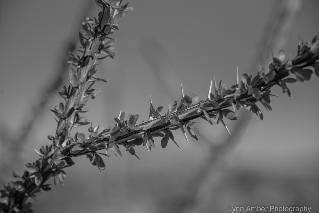
In some areas of the KOFA National Wildlife Refuge, the ocotillo is bursting out in leaf. The bright green color can be seen from a distance. Up close and personal, the cool striations on the branches really show up and the delicate leaves sprouting near the thorns amaze me!!
We hiked back into the desert from our campsite and found this natural arch. After winding around and up and down several washes, we were able to climb up close!

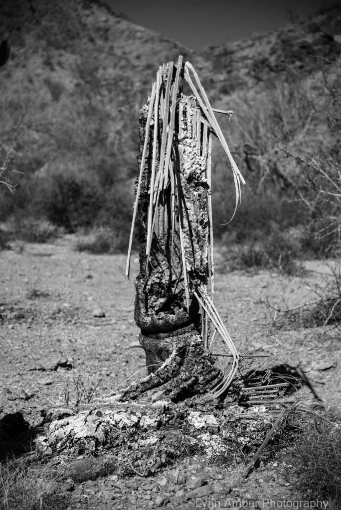
There’s something very appealing about the skeletons that form from the dying Saguaro cacti!

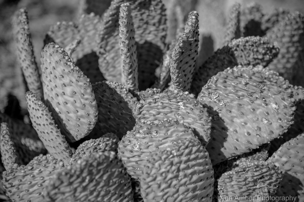
We took a drive back to the old King of Arizona mine – an 36-mile round trip on dirt, wash-boarding roads. Of course, we humans love to leave evidence of our existence!


Rain Clouds and Cholla in the Desert
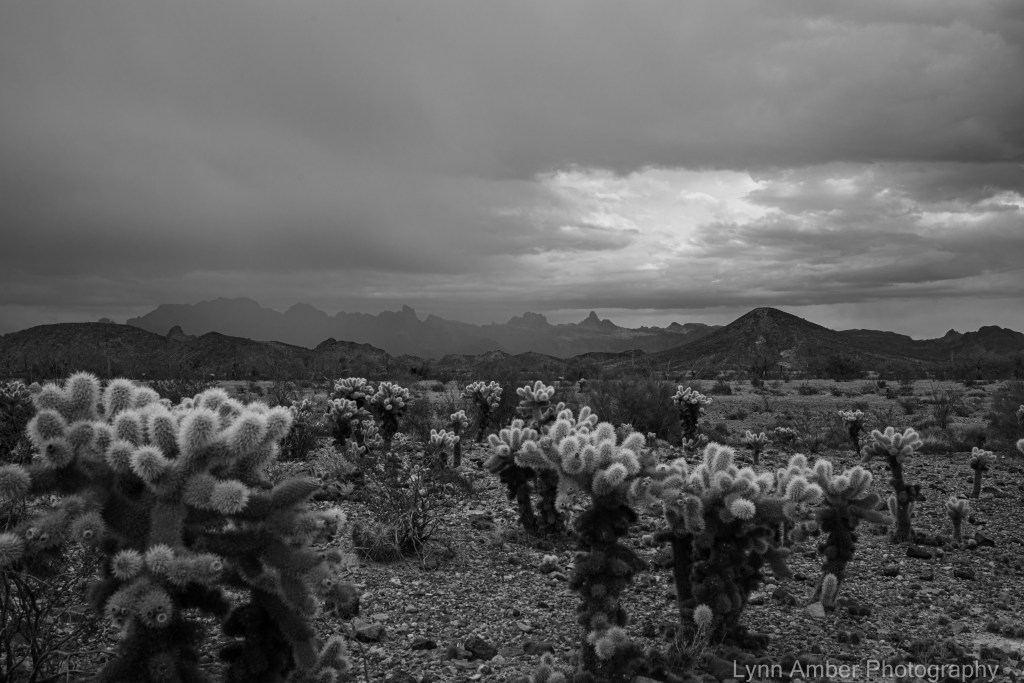
The Teddybear Cholla is one of my favorite desert plants! It literally glows in the landscape – especially in the early morning and early evening light. The other day the skies clouded up and we actually got a sprinkling of rain in the Arizona desert. They were the first raindrops we have felt since leaving Vermont in mid-December! I thought the photograph was particularly dramatic in black and white! 🙂

Desert Sunset

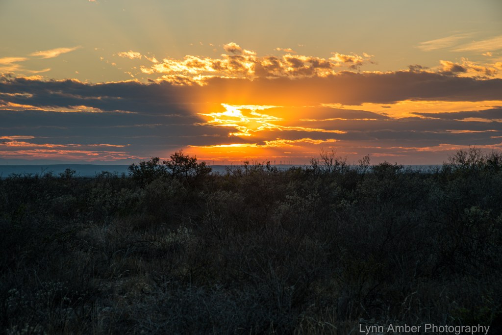
While I spend some quality time on a more extensive blog post devoted to Big Bend National Park, I will share some more recent photos from our travels. We are in the Arizona desert which is known for spectacular sunsets. Here’s one example from last night! 🙂
Seminole Canyon State Park, Texas
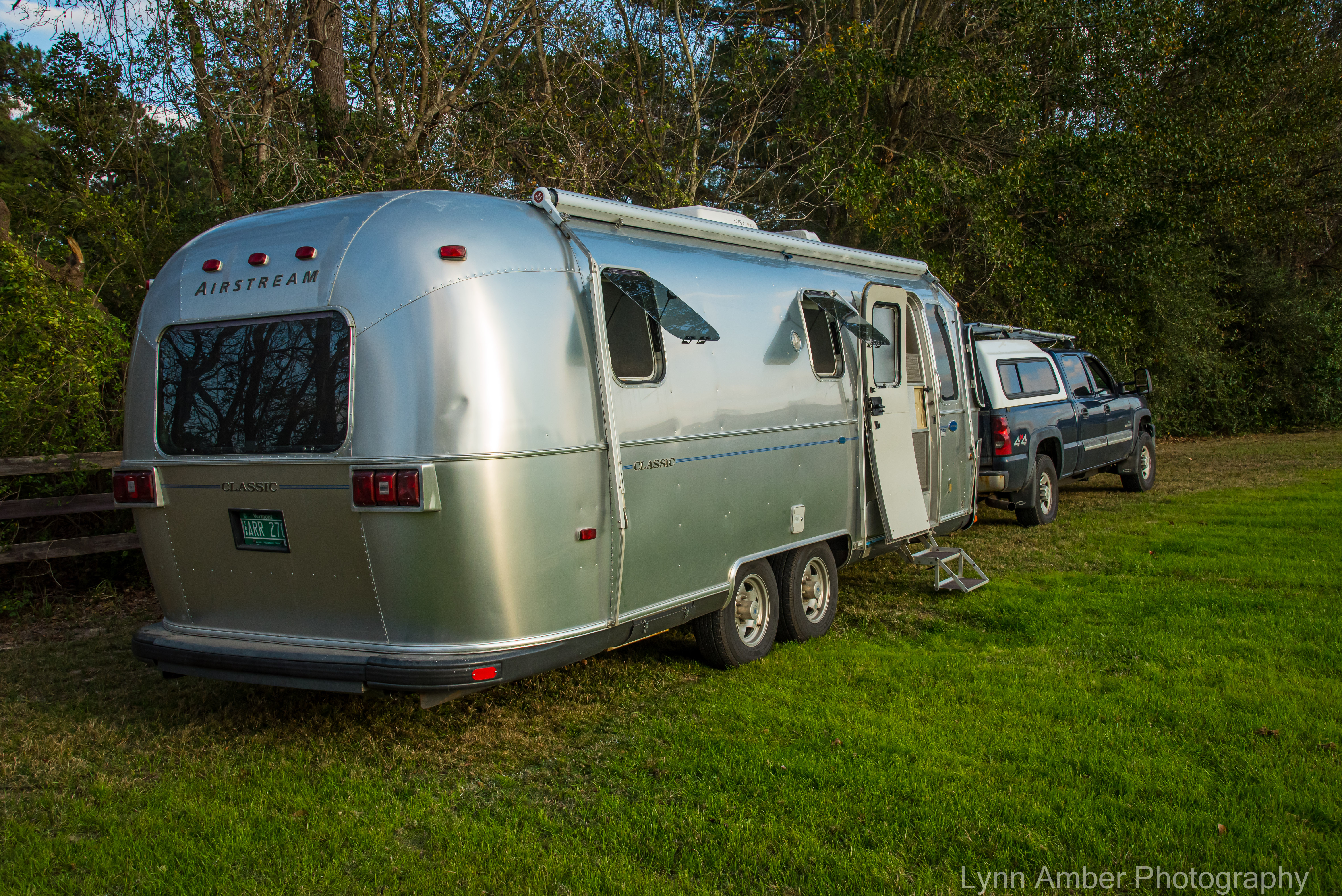
Our 4 night stay at Seminole Canyon State Park near Comstock, TX was a spur of the moment decision. Sometimes that proves to be the best way to travel!
My idea was to take two days/one night to travel to a new location from Fountainebleau State Park that would prove to be a good place to hang out for a few days before moving on to Big Bend National Park. In researching places of interest in Texas that met my criteria, I found Seminole Canyon State Park – a two-day excursion from Louisiana and a half-day drive from Big Bend.
Based on our desired daily mileage, our first day of travel from Louisiana indicated a one-night stopover near the Houston, TX area. I investigated several Harvest Host options in the greater Houston metropolis and landed on the Fortress Beerworks. We had not yet stayed at a craft brewery location so I requested a stay for the night and it was accepted. We pulled in late afternoon in time to get set up in the field behind the brewery and ventured over to the venue for a couple of craft beers. Jim enjoyed the “Shadow Porter” selection and I chose the “Watchtower WIT”. The venue was open air and we felt comfortable being outside with so few people wearing masks. We were joined by just one other RV for the night and it was a peaceful, relaxing overnight stay.
Fortress Beerworks
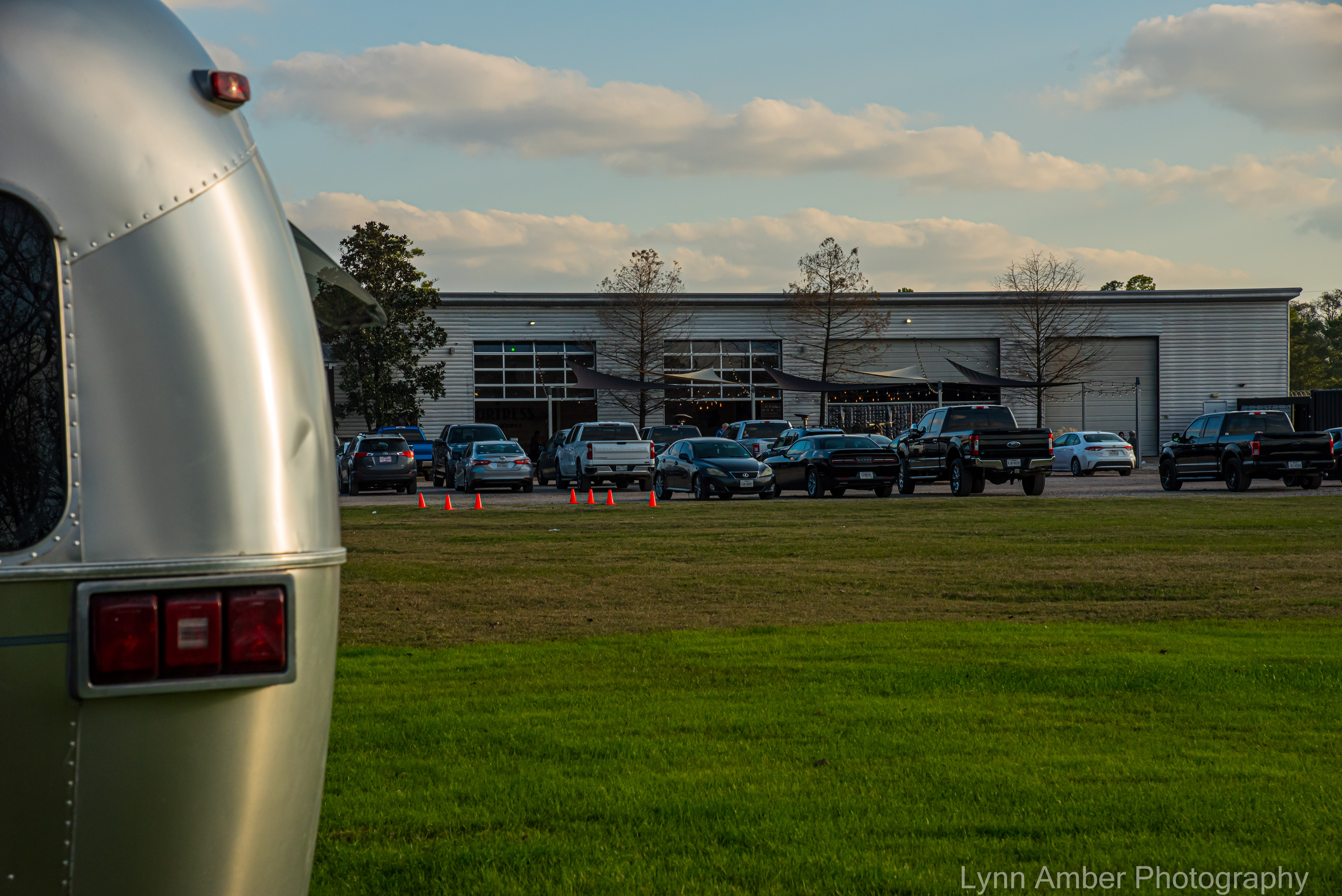

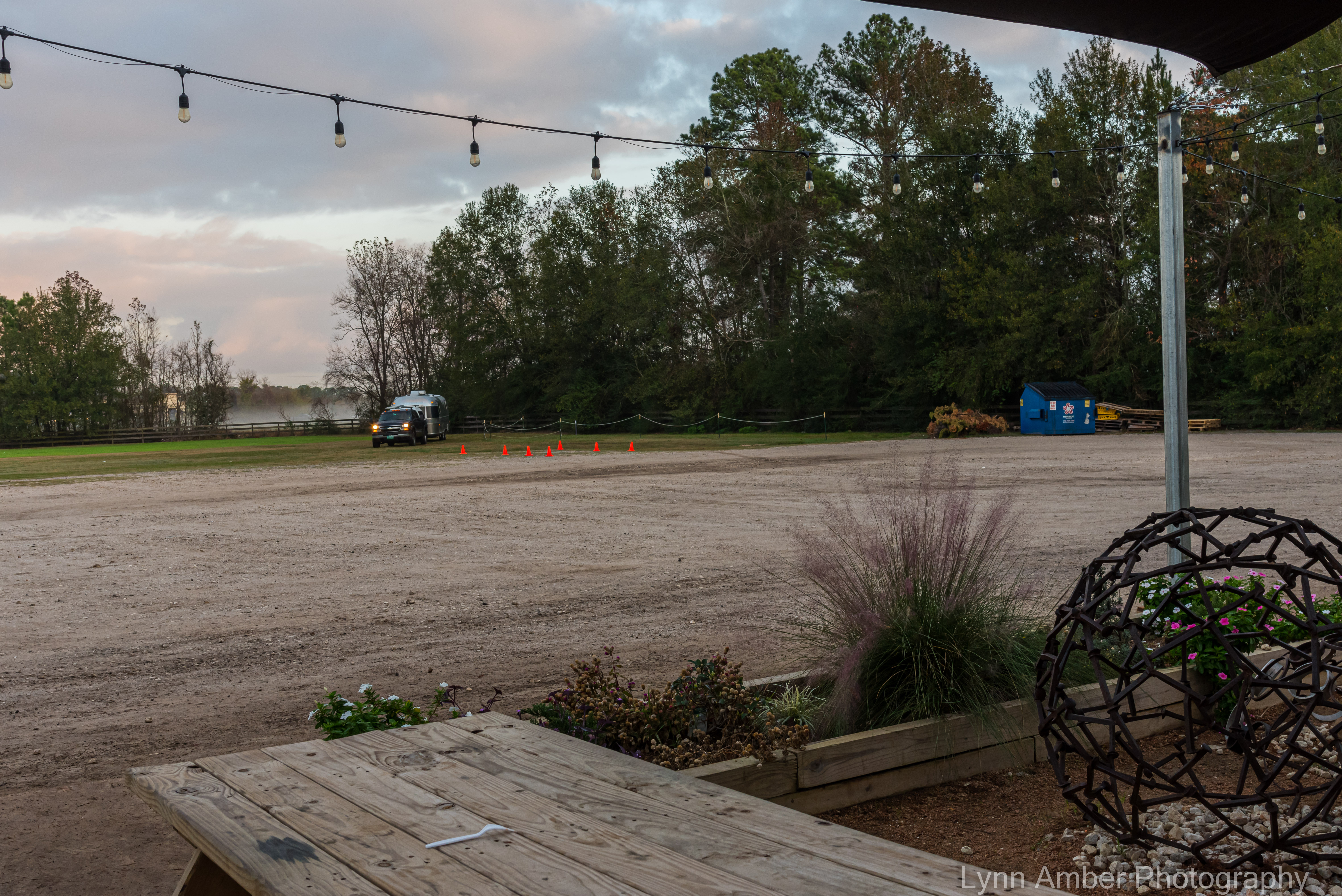

The next day was a long haul to Seminole Canyon State Park but unavoidable. Luckily, it was off-interstate driving and less traffic along the way! 🙂
We arrived in Seminole Canyon just as the visitor center was closing and in time to check in to our site! I was able to grab a couple of brochures and a detailed trail map from the park employee as well. Our site was located in the area that offered water and electric hook-ups (due to a cancellation or we would have been dry camping) and was a nice spot on the outside edge of the loop.
Seminole Canyon State Park has a lot to offer. It is a park rich with cultural, historical and natural environment significance. The main attraction for me when researching the park was the preservation of Native American pictographs in the canyon. I couldn’t wait to see them!
Day 1
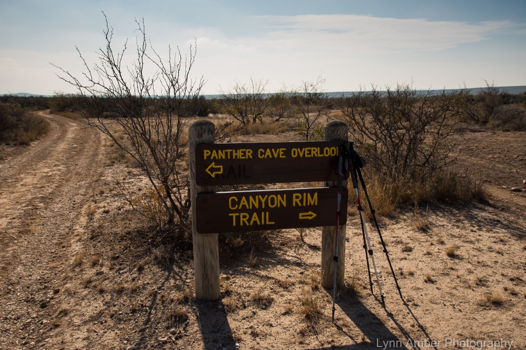
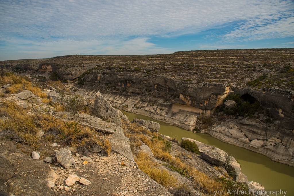
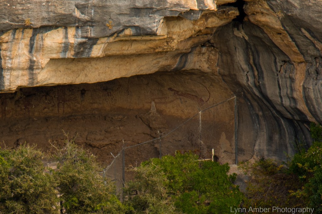
Our first full day in the park we decided to take a hike along the Rio Grande River Trail. Out and back was about 4.6 miles and we tacked on an additional mile by adding a short section of the Canyon Rim Trail to our trip. The Rio Grande River Trail culminates at a scenic canyon overlook called the Panther Cave Overlook. From the overlook, visitors can view a cave opposite the canyon full of pictographs.
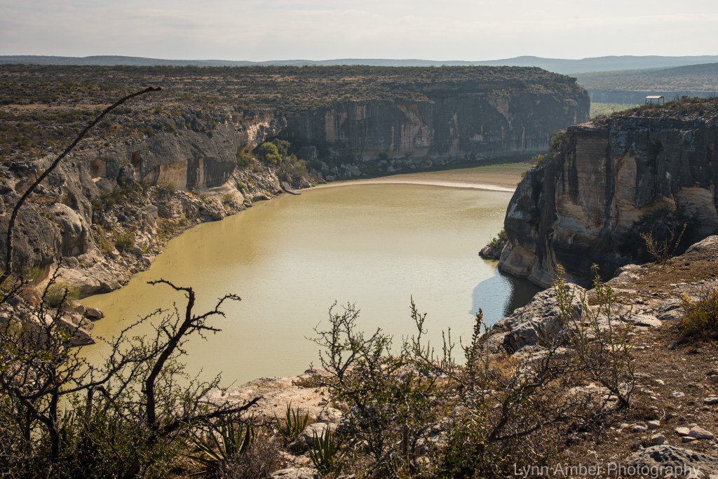

It is believed that the pictographs in this canyon were created some 4,000 years ago. The Archaic peoples used the rock overhangs for shelter and lived off the resources of the desert environment. The pictographs – named the Lower Pecos River Style art – were believed to have been created by the Middle Archaic people who inhabited the area 4,000 years ago. They used natural materials to create the red pigment paint used to create the paintings. Paint brushes were made using fibrous parts of desert plants.
Thanks to Forrest and Lula Kirkland, the pictographs were preserved through their dedication to spending their vacations in the 1930’s traveling around Texas and creating watercolors paintings of many of the pictographs. Many of the pictographs have not survived due to physical conditions such as weather and human vandalism but they managed to create an enduring record through their artistry.
We forgot our binoculars on this hike which would have helped to see the pictographs – which are on the opposite canyon wall. However, we vowed to return with them!! The panther cave site is inaccessible most of the time and protected by fencing. Luckily, it remains shaded most of the day and this has helped preserve the paintings and kept them from fading.

Along the trail, there are fantastic examples of fossils embedded in the rock. I’ve never seen so many fossils in one place!!

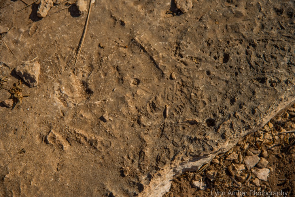
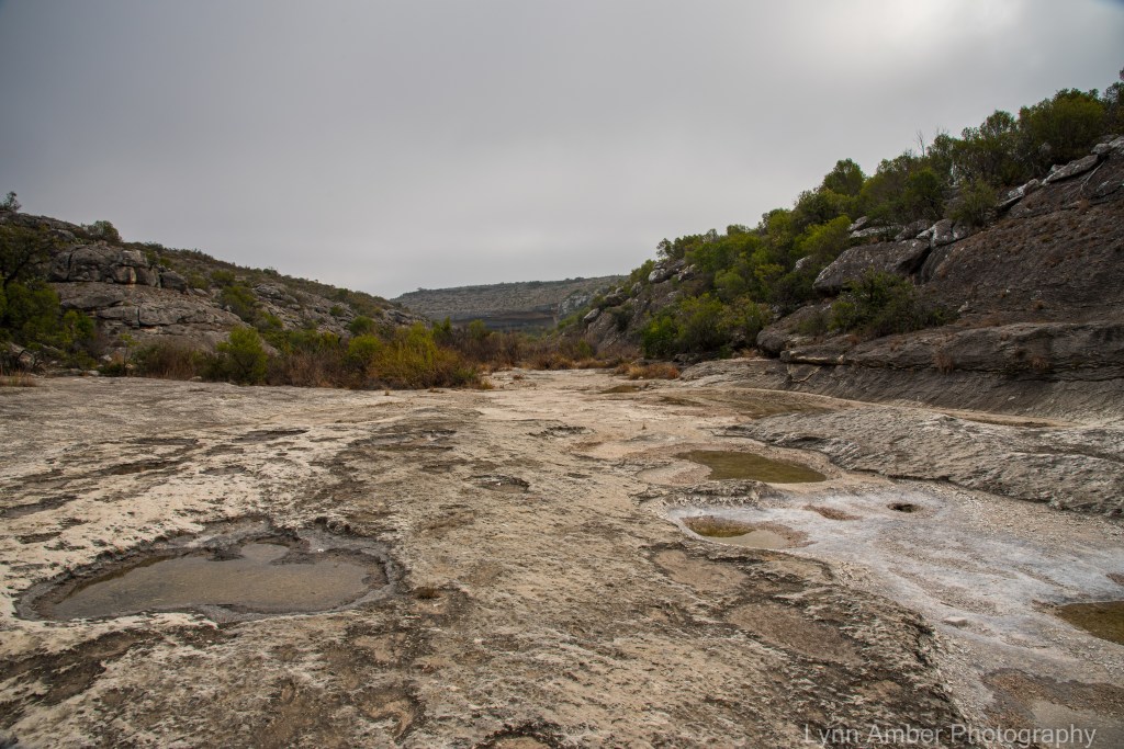
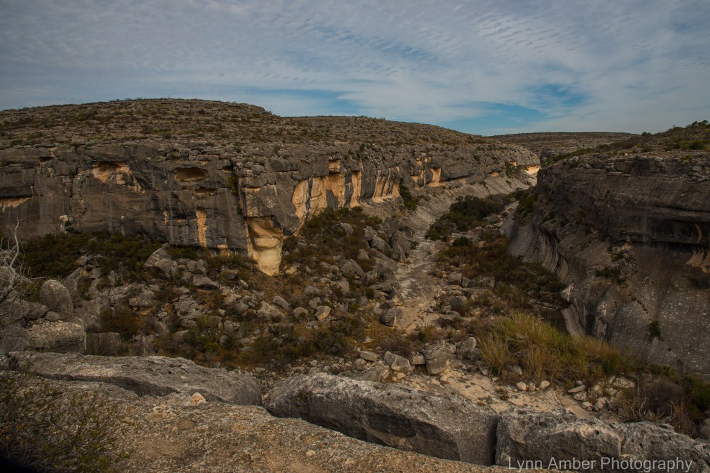
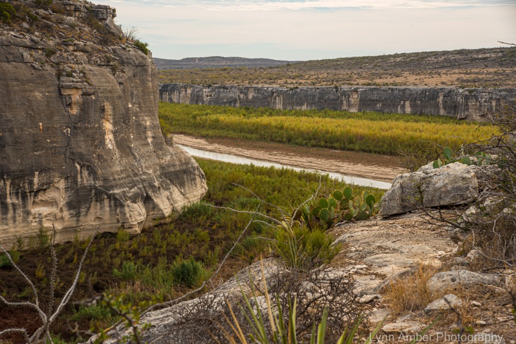
We left the Panther Overlook and continued on a section of the Canyon Rim Trail that would take us along the Rio Grande River valley. It was interesting to discover that the water in Seminole Canyon comes strictly from rain run-off. At the time we were there, the upper canyon was dry and there was a length of canyon with water near the Rio Grande but it did not extend to the river. Apparently there is an underground aquifer that does keep the ground beneath the canyon floor somewhat moist.


Day 2
In order to see the pictographs up close and personal, it is necessary to sign up for a ranger-led tour into the canyon. The tour that was operating when we visited was the one that takes you to the Fate Bell’s Pictograph Shelter. This shelter sits directly below the visitor center which is perched on top of the canyon. It is a short but steep walk down to the canyon floor and then a fairly level walk over to the rock shelter. The shelter and site is named after Mrs. Fate Bell who was a rancher who owned the land that the state park now occupies.
On the way to the Fate Bell site, we passed by this bronze sculpture by Bill Worrell completed in 1994.

A set of steep stairs leads to the canyon floor and from there we walk to the pictograph site as the ranger talks and answers questions from the group.

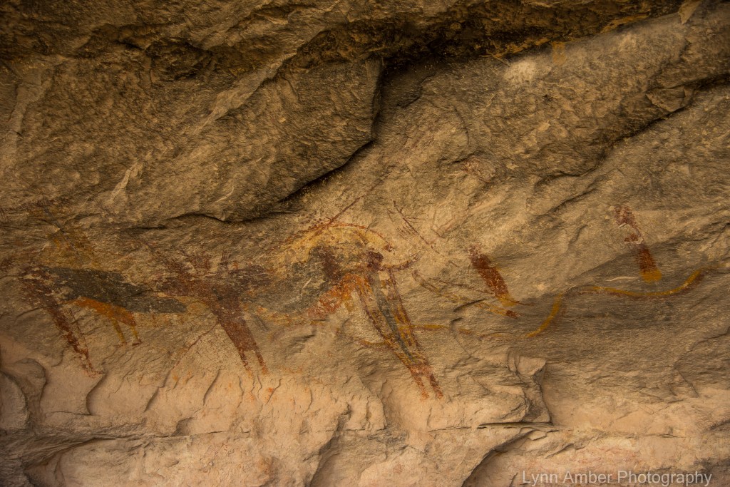
Examples of the Fate Bell pictographs – it was very evident how the introduction of sunlight affected the integrity of the pictographs. The areas of the shelter where sun was strong had pictographs that were almost completely faded out. The ranger explained that there has not been a clear way to prevent this from happening and many pictographs will not survive for long under those conditions.



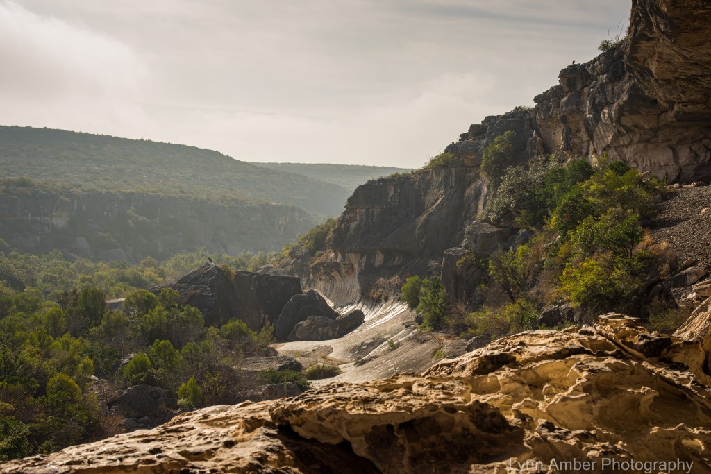
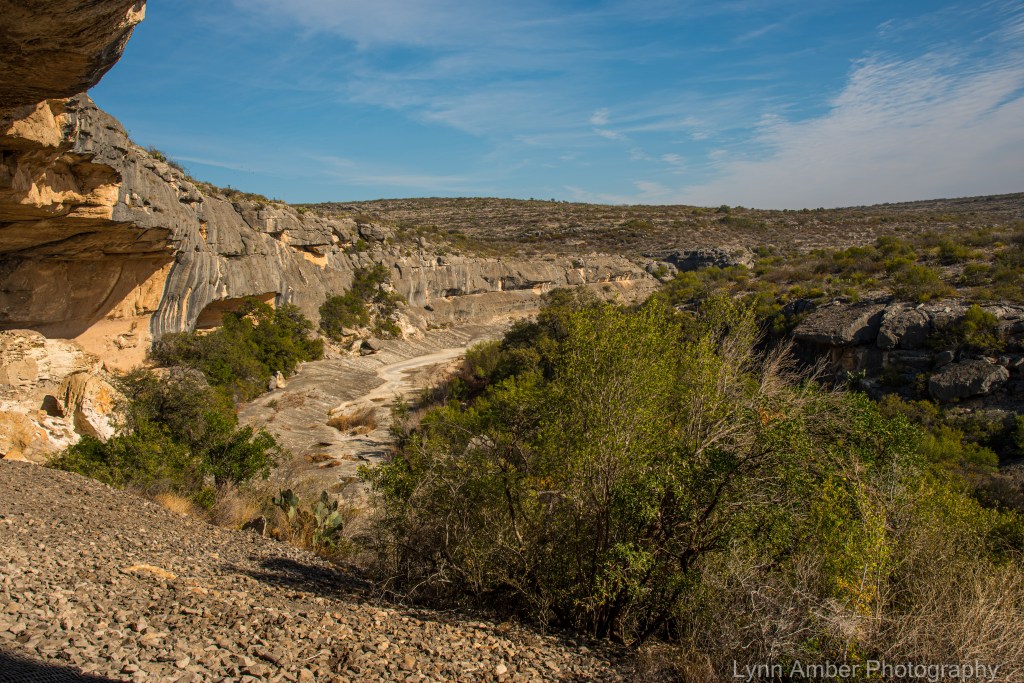
Along the way, we were subjected to some beautiful scenery!! It was surprising how much plant material was thriving in this relatively dry, desert climate due to the underground aquifer.
After the tour, we spent some time perusing the visitor center indoor display which was a fascinating timeline of human occupation in this area – from the Archaic peoples to the modern day Native Americans to the Ranchers and Railroaders – this area has seen a lot of change. There are many other pictograph sites in neighboring canyons that are on private land and protected by the landowners. Pretty cool place!!
Day 3
Most of the trails in the part are designated as hike and bike friendly. We decided to traverse the long Canyon Rim Trail on our bikes since it would be an 8-mile minimum round-trip. Let’s just say that it was a challenge for us novice single-track riders!! We had fun though and for the most part could ride our bikes with only a few places we felt the need to get off and walk!!
As the name suggests, this trail wanders through the desert hugging the Seminole Canyon walls and the Rio Grande. It was breathtaking!
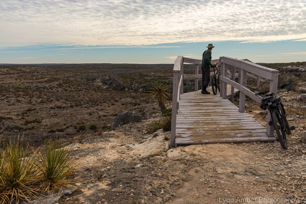
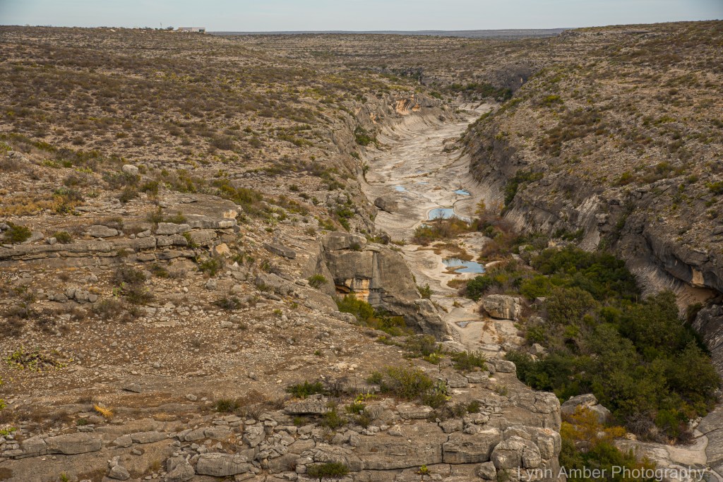
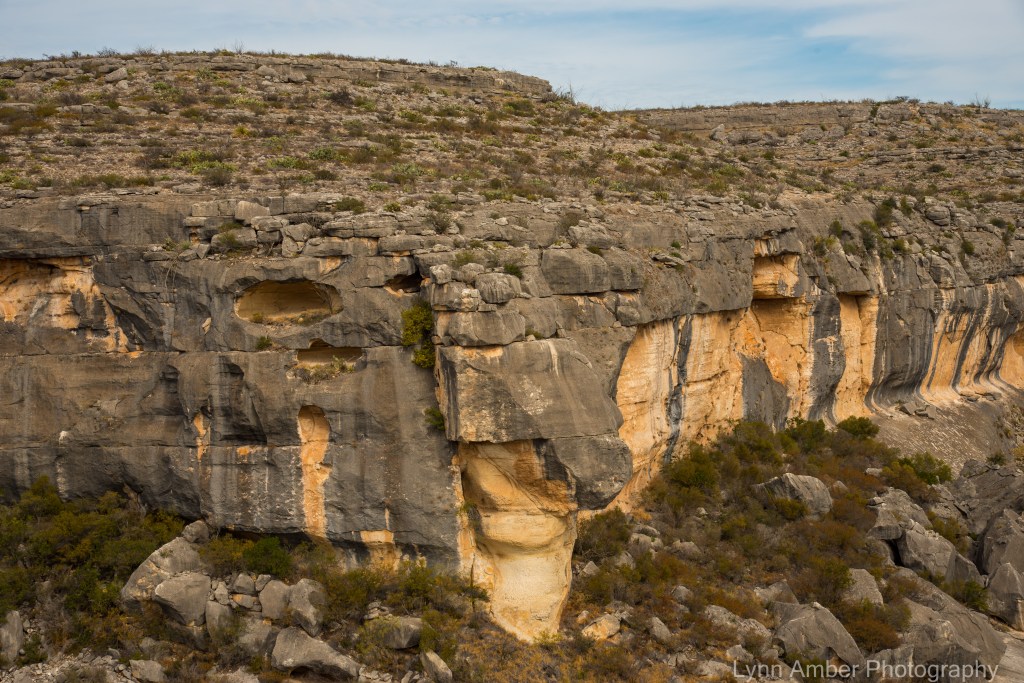




We were pleased with the day and tired when we got back to camp from our single-track riding adventure. As we completed more miles, our skills improved and I think we are hooked on trying more single-track trails!!
We moved on to Big Bend the next day! Stay tuned for that awesome experience! I will be in a remote area of Arizona for about a week – so no more posts until I re-enter society – but I will hopefully be writing and editing while enjoying a wild and scenic refuge and be ready to post shortly after returning to cell service!! My husband is patiently waiting for me to finish this post at a local town library – so no further editing – please excuse any spelling/grammatical errors until I have time to edit! 🙂
Cactus and Birds

I’m at least 2 weeks behind in postings and need to spend time getting caught up – but just wanted to post this cute picture of a remarkably patient cactus wren, who perched nicely for me while I tried to get a decent shot. I don’t have a telephoto lens so this is definitely cropped – but much more in focus than I could have imagined. Enjoying the beautiful weather in Southwest Arizona right now – but will continue to post our adventures prior to arriving here soon! 🙂
Mandeville Bike Ride

On Christmas Eve day, we decided to ride the Tammany Trace bike path towards the small lakefront town of Mandeville, Louisiana. The ride from Fontainebleau State Park to the center of the village was only 2.77 miles one way. It is a fairly level ride and we wanted to have plenty of time to leisurely explore the town and the waterfront.
Mandeville has an interesting history. The town was founded by Bernard Xavier de Marigny de Mandeville in 1834. His family originally came from French nobility and were very influential in Louisiana – owning almost 1/3 of the city of New Orleans at one point in time. Inheriting a fortune worth nearly 7 million dollars from his father, Bernard began delving into real estate and started purchasing land on the shore of Lake Pontchartrain across from New Orleans. He purchased some tracts of land in St. Tammany that he developed into a rich and profitable plantation – the site of the current Fontainebleau State Park. He continued to acquire land including about 5,000 acres west of Bayou Castine. It was on this tract that he began to plan and develop what is now the town of Mandeville. While Bernard’s fortunes eventually took a tumble due to his passion for gambling, the town of Mandeville prospered. Along Lakeshore Drive are many historic homes built during the early days of the town. Mandeville became a summer resort for wealthy, prominent New Orleans residents with a ferry boat established across the lake to transport residents between the resort town and New Orleans.
One of the stipulations in the original layout of the town was that the land between Lakeshore Drive and Lake Pontchartrain would always be a public green space for free community use. Along Lakeshore Drive are many historic homes built during the early days of the town. I read about some historic sites that were worth visiting so we stopped to see some of these sites along our bike ride.
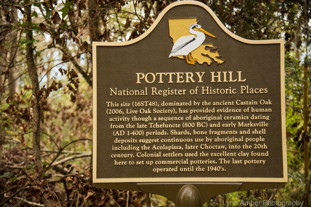
Pottery Hill is on the national register of historic places for its importance as an archeological site that gives insight into the native American activity that took place here many years ago.
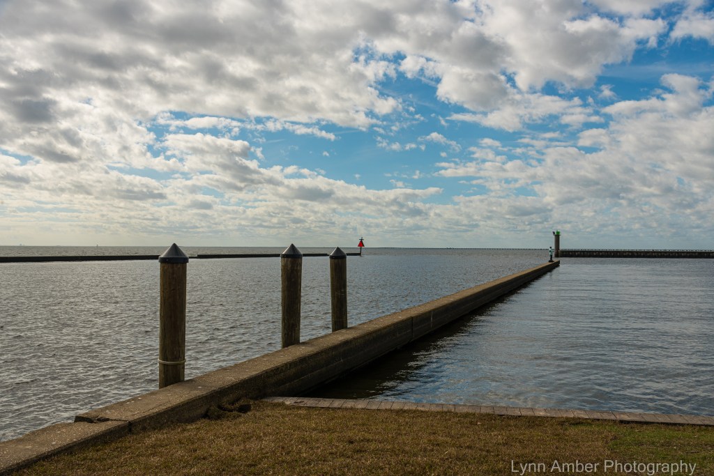
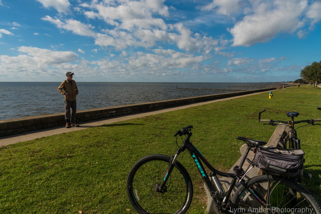
Continuing onto some of the side streets in town, we came to the beginning of the lakefront walking/biking trail and enjoyed riding the length of the special green space along the lake. It was a beautiful, warm day and the green way was busy with people out enjoying the weather.
I read that an historic old oak tree inhabits a patch of this green space and we kept our eyes out for this landmark. It was labeled and had the help of several props to keep it from falling over!


The park was a mixture of open green space, fountains and beautiful oak tree groves.


One particular oak tree was much more impressive than the 200-year-old tree. It was situated in among a large grove of trees and its massive size captured our attention. The photograph at the top of the blog depicts this cool tree! It had some side limbs that reached out and touched the ground. We spent a lot of time just marveling at the pure beauty of this tree!

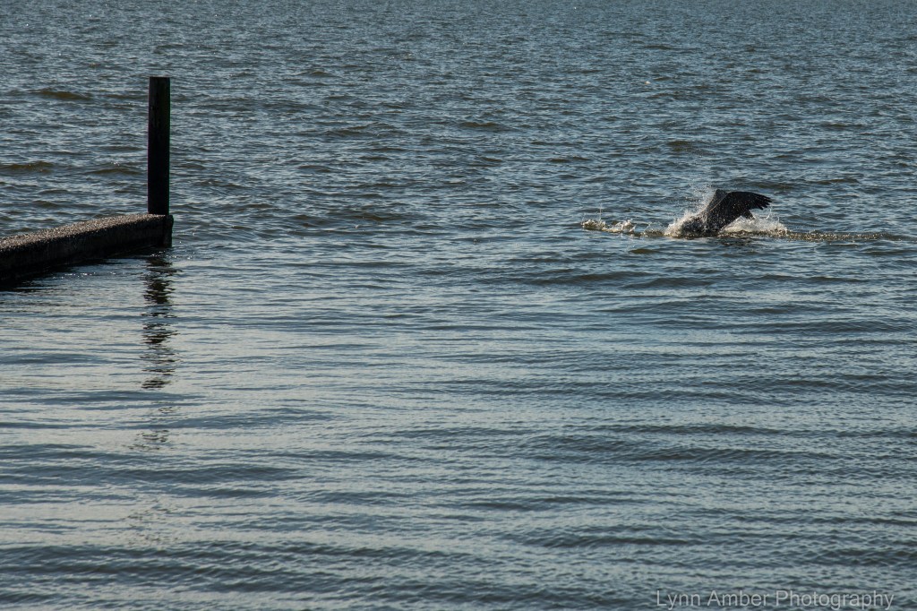
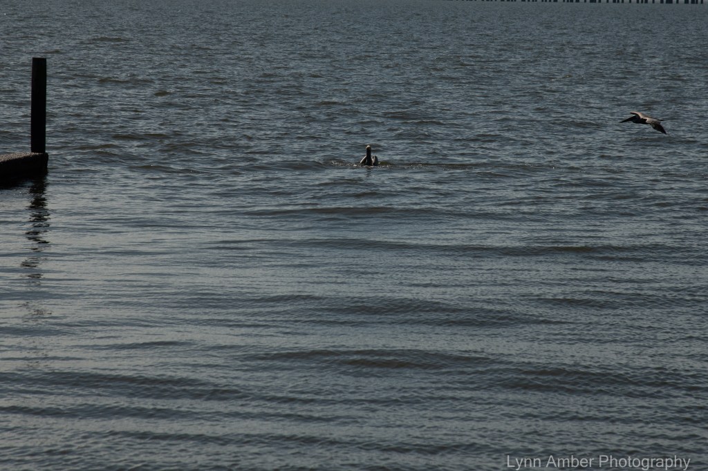
At the end of the paved hiking/biking trail along the lake, we sat and rested and watched some entertaining pelicans as they fished for food – one of my favorite birds!
There was an inlet here bordered by a grove of trees and we noticed a bald eagle landing in one of the tree tops. I’m not surprised to see him as we noticed quite a few fish jumping while we sat on the lakeshore wall looking out over the water.


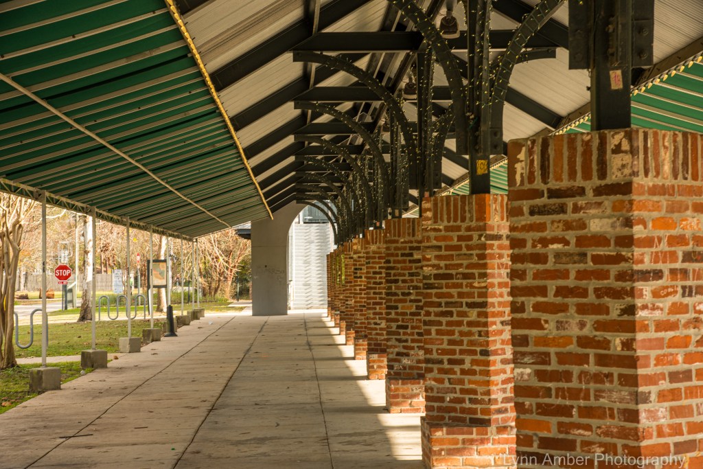
After enjoying the lakefront landscape, we rode on into the town proper in search of lunch. We found a nice brewery – Old Rail Brewing Company – conveniently situated right on the Tammany Trace bike path. We devoured some good pub food and a couple of craft beers then headed over to the historic Mandeville Train Station which also serves as the spot where the bike path trailhead is accessed from town. There were some nice historic exhibits here and apparently there is a weekly farmers market on the premises as well.

What a sweet little town!! We returned to Fontainebleau State Park in time to take a walk down to the waterfront for a peek at the sunset. Nice end to a relaxing day of exploration!


