Lynn Amber - Travel & Photography
sharing my thoughts through words and images
Introduction to Lava Beds National Monument

I’ve settled into my new home for the next few months at Lava Beds National Monument. This is a harsh, extreme environment that has been impacted by two major Northern California wildfires in the last two years – the Caldwell Fire in the summer of 2020 and the Antelope Fire that swept through this area in the fall of 2021.
As I explore my new surroundings, I am amazed at the way the landscape is bouncing back from the devastation. On a recent hike, I counted no less than 13 different wildflowers blooming on recently burned out hillsides along the 2.5- mile Big Nasty Trail and surrounding some of the developed lava tube caves. More pictures to come as I am struggling with very spotty cell service and very slow uploading speeds. I’m researching different options for pulling in a better signal but until then I will limit the number of photos I upload to any given post!
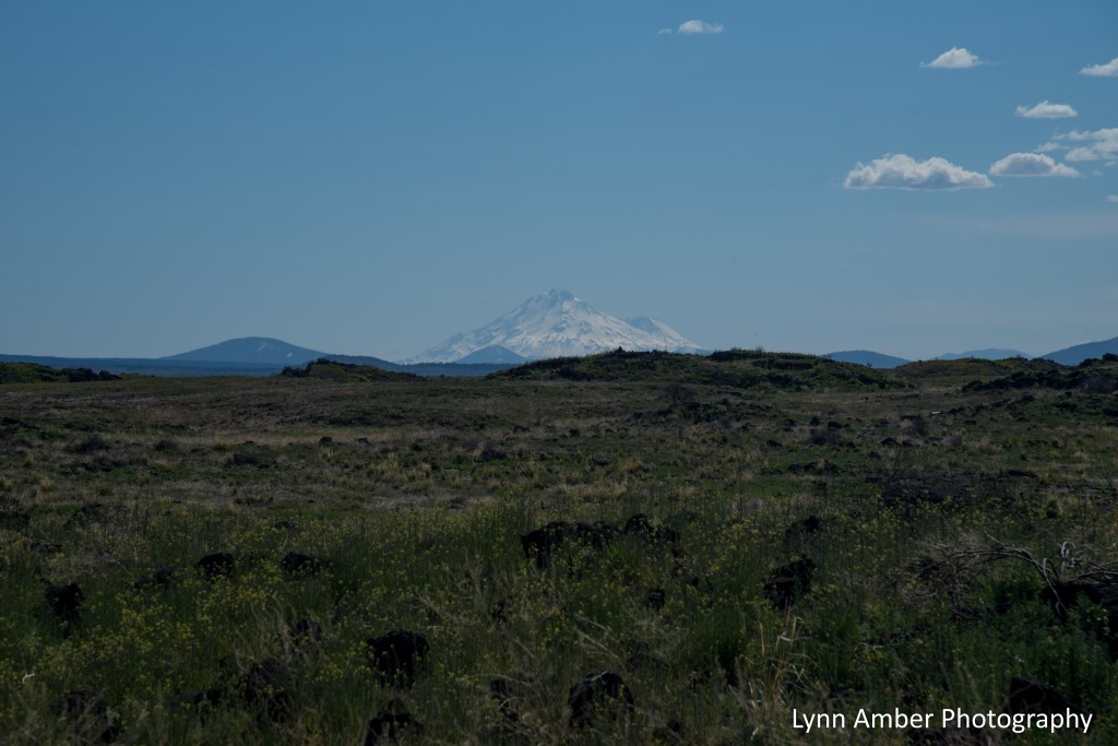
Some of the surrounding landscape:

Organ Pipe Cactus National Monument Part 3
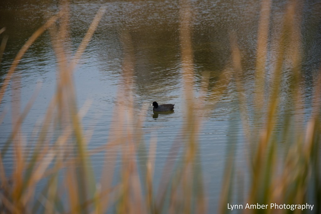
Oh the joys of being back in a place where WiFi is available!! Taking up where I left off on our wild west tour, our next big outing in Organ Pipe Cactus National Monument involved another road trip – this time along the South Puerto Blanco Drive. This gravel road runs parallel to the border between Mexico and the United States and at mile marker 15 the two-way section of this road ends at the Quitobaquito Spring.
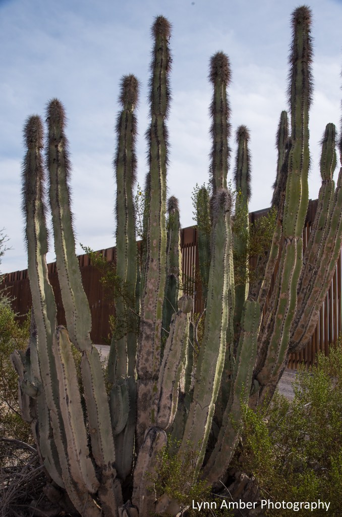
We drove south on Route 85 to the entrance onto the South Puerto Blanco Drive. It is a 15-mile drive to the spring, and we were told it would take about an hour. Wrong!! This is a gravel/dirt road chock full of washboard sections that will rattle your teeth! Along the way to the spring, we stopped a few times to check out the infamous and controversial “border wall” that was recently constructed along the 30-mile national monument border.

The construction of this border wall along the 30-mile stretch of land is, in my humble opinion, an environmental and social disaster. The wall itself is 30-feet tall and made of steel bollards 6 inches wide with a 4-inch gap between bollards. The entire length of the wall is embellished with stadium lighting that interrupts the dark sky status of the area. It was created by bulldozing a 60-foot-wide swath of desert 30-miles long – destroying sensitive plant material, interrupting natural migration routes for desert animals, disrupting nocturnal animal patterns, compromising native American archaeological sites and depleting valuable resources including the unique desert aquifer that exists here. Before this current eyesore was constructed, there were already vehicular and physical barriers in place along this stretch of the border. In 2006, an unobtrusive steel fence was completed by the park service that served as a physical deterrent to illegal activity crossing the border and driving through the monument. Prior to the steel fence, a barbed wire fence was repeatedly compromised causing vehicular traffic from across the border to carve many miles of illegal “roads” through the pristine desert environment. The low-impact steel barrier replaced the old fence and solved the problem. So, why did we spend millions upon millions of dollars causing irreparable damage to the environment to build this new wall that totally undermines the reason why the initial steel fence was built? Answer: to satisfy a political agenda that has nothing to do with public safety or respect for environmentally and historically sensitive public lands.


Of particular concern to many native American tribes and other local inhabitants is the impact this construction will have on one of the few naturally occurring sources of fresh water in the area – Quitobaquito Spring. This spring is home to several plant and animal species that do not exist anywhere else – the endangered Quitobaquito pupfish, the Quitobaquito spring snail, the Sonoyta mud turtle and the desert caper plant. Many animal species that depended on the spring for water have been impacted due to the obstruction of the wall including pronghorn, javelina, bobcat and desert tortoises. Migration routes may well be impacted as we realize the disruption through on-going research.
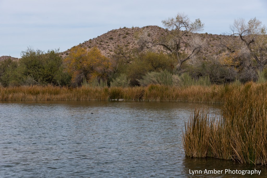
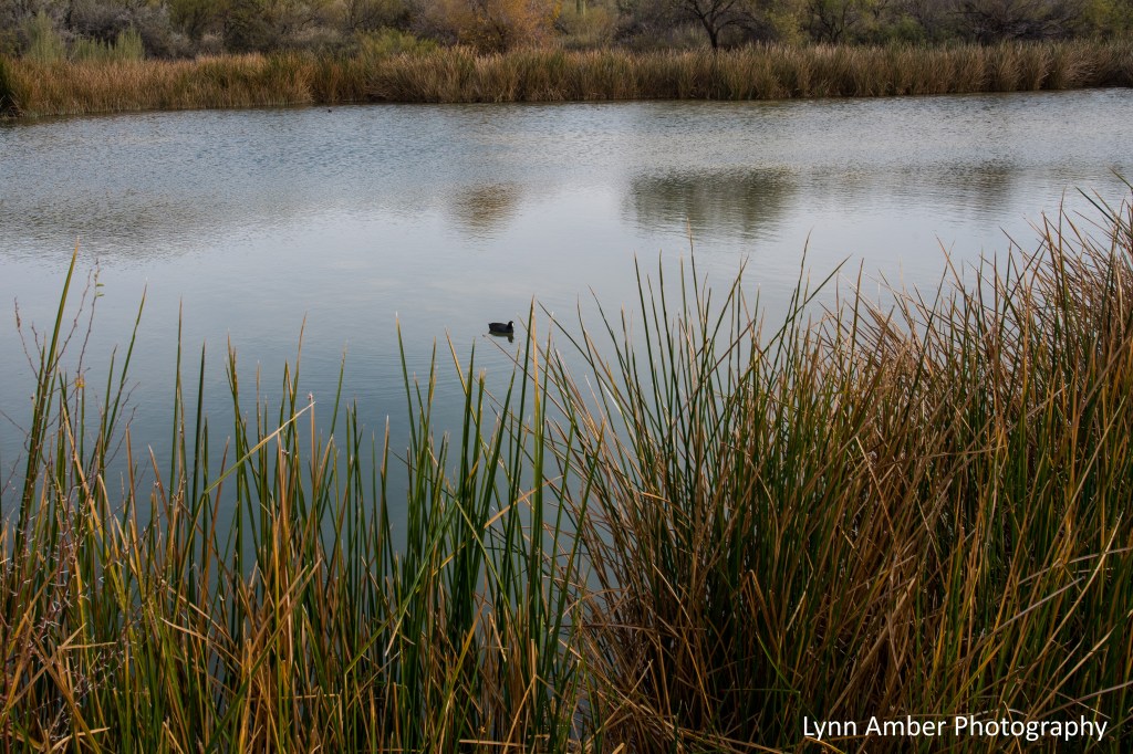
Some wildflowers blooming along the pond’s edge –
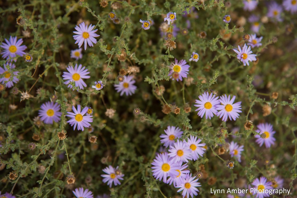
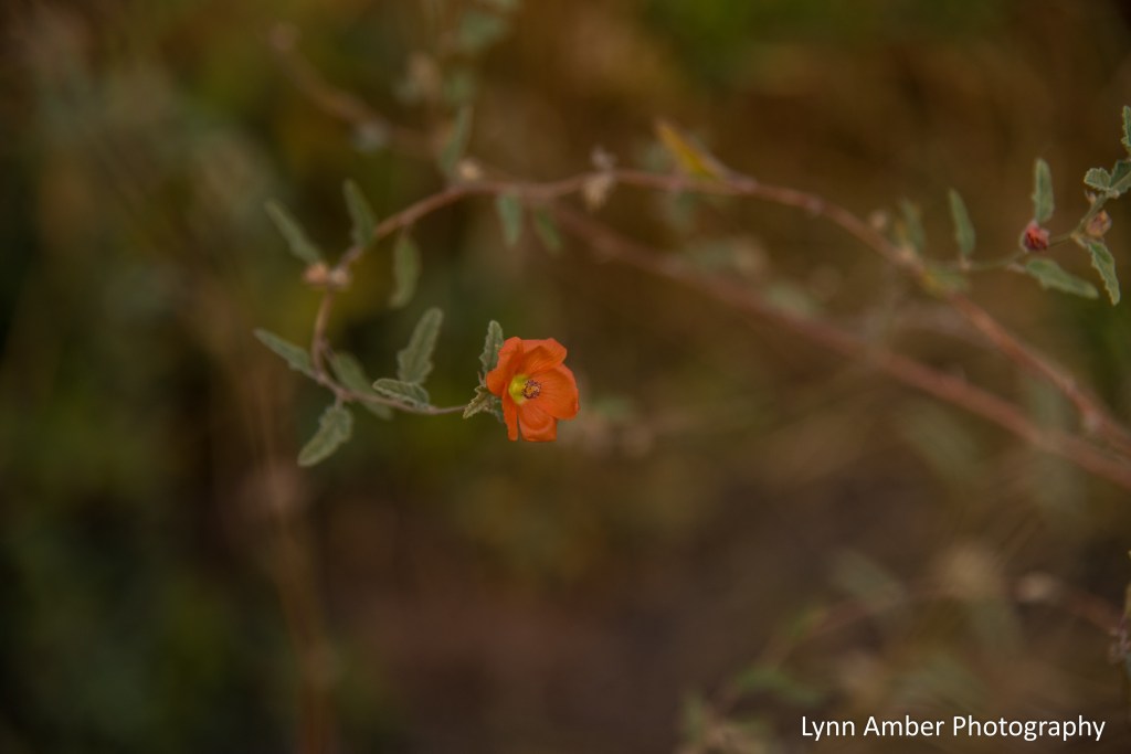
It was truly an exceptionally spiritual experience to visit the Quitobaquito Spring and see this ecosystem that has been nourishing the inhabitants – both human and animal – of this region for thousands of years.
After our hours long road trip, we came back to the campground and walked along the 1.5 interpretive trail that leaves from the campground. We needed to stretch our legs after driving much of the day.
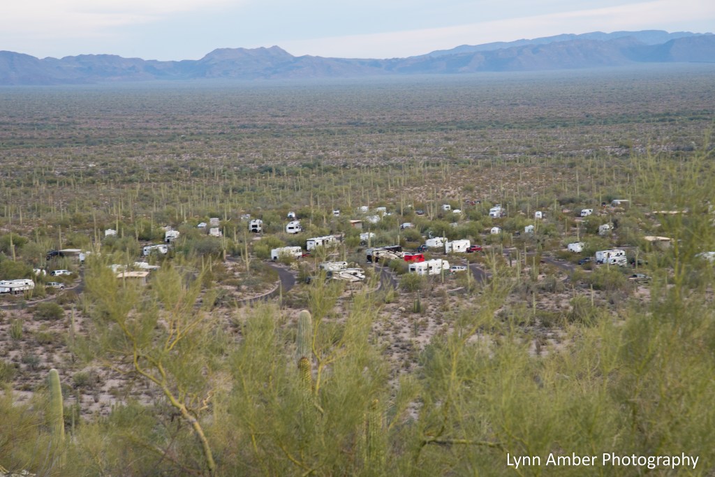
The sun was setting along our walk and it was very restful to watch the desert go to sleep.



Pacific Northwest Series Photo 3

We’ve been watching this trio for the past week. They like hanging out on the post and rail fence that marks the cliff edge at our campsite and spend lots of time grooming each other!
Pacific Northwest Series – Photo 2

Our 6-mile hike in the Sol Duc Forest in Olympic National Park brought us through massive, mossy, dense fir and hemlock stands. The varying shades of green throughout the walk are unrivaled for beauty and awe-factor!
Pacific Northwest Series
While I continue to have limited cell service, I’ll post sporadically until I have better connectivity!! I used up all my hot spot cell data two weeks ago and have been very limited until today! We have spent the better part of the last month in the Pacific Northwest and I promise I will post more details later! For now, I’ll share some of my favorite recent images until I can get back on track (with better WiFi) and focus on our many travel adventures over the past few months!
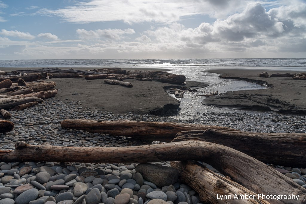
This photo was taken yesterday along the Pacific coast within the boundary of the Olympic National Park. I am in awe of this spectacular place and its wild and wacky weather. We arrived on the coast yesterday amid a rain and hail storm but we persevered and scored an amazing campsite with ocean views! In between the rain squalls, we’ve enjoyed relaxing walks along the beach and falling asleep to the sound of the pounding waves.
Coastal Bush Lupine
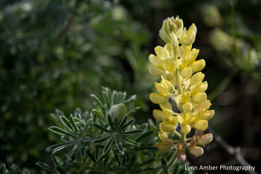
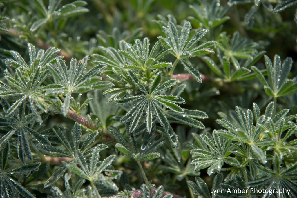
I found this gem growing on the banks near the Point Reyes Lighthouse in Point Reyes National Seashore. In early March, this plant was just beginning to bloom. It was a foggy, misty day and the flowers and foliage were covered with water droplets! Although native to the area, the plant is considered to be invasive and should be planted outside of its natural environment with care.
Miniature Lupine
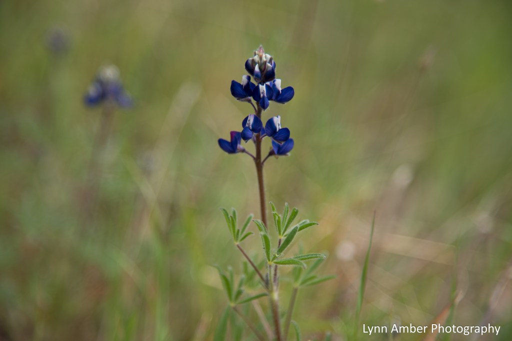
I found this little gem growing in patches in the hillside meadows surrounding Lake Mendocino in California. As the botanical name suggests, the flowers are two-toned – blue and white. The plant is native from California to British Columbia and reaches a height of a foot or less. It also serves as a host plant for many types of butterflies and apparently is a favorite of the Arrowhead Blue butterfly.
Salmonberry
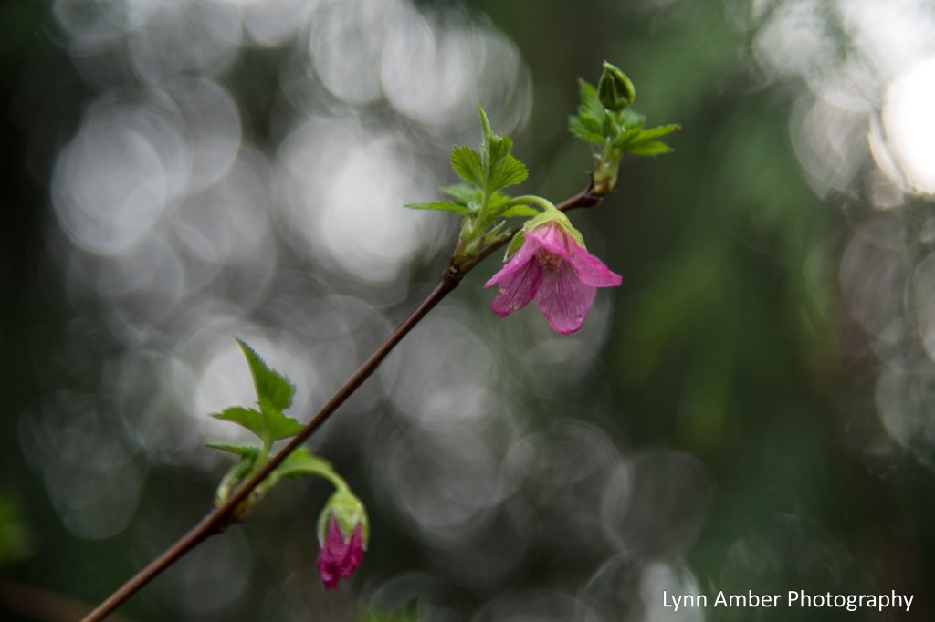
I first noticed this plant last week during our slow ascent up the Pacific Northwest coast from Northern California. We pulled into the Lewis and Clark National Historic Site in Astoria, OR to take a short break from driving before continuing on to our overnight camping location. (More to come on Lewis and Clark in another blog! Thanks Kurt for clueing me in to this awesome gem!) Along the hiking trail here, there was an interpretive display that talked about salmonberry and its importance.
A few days later while walking in the woods in Washington State near the Puget Sound, I noticed the same plant starting to leaf out and bloom. Such pretty delicate pink flowers! Salmonberry has a very limited range and is found from Southern Alaska to Northern California mainly on the western side of the Cascade Mountains. The salmonberry has a raspberry-like fruit and was an important food source for native Americans. Native Americans also used the tender young shoots as a food source and processed the bark for medicinal purposes.
It is a bright spot of color in the Pacific Northwest woods right now! 🙂
PS – I will be doing short one or two photo posts right now until I get better connectivity. Then, I will take up where I left off deep in the state of Arizona! 🙂
Organ Pipe Cactus National Monument Part 2
As I sit here in a very damp, cool national forest campground along the Oregon coast, I’m thinking back to the sunny, warm desert! I decided to continue on with my recap of our Organ Pipe Cactus National Monument visit in January while waiting for the clouds to disperse!
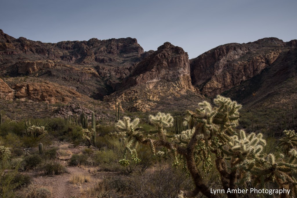
On our third day in the far southwest Sonoran Desert, we decided to complete the 21-mile Ajo Mountain Drive – stopping along the way for two hikes. This picturesque road trip is a must-do while exploring the park even if you don’t plan on completing any of the hiking trails accessed along this road. The mostly one-way road winds through the Diablo Mountains (love that name!), along the foothills of the Ajo Mountain Range and offers up stunning views of the Sonoran Desert valley. I highly recommend stopping off at the Kris Eggle Visitor Center right across the road from the Ajo Mountain Drive and picking up a paper copy of the Ajo Mountain Drive Guide (or downloading the PDF version to your phone). Using the guide, read about each of the marked stops along the way. Highly informative!
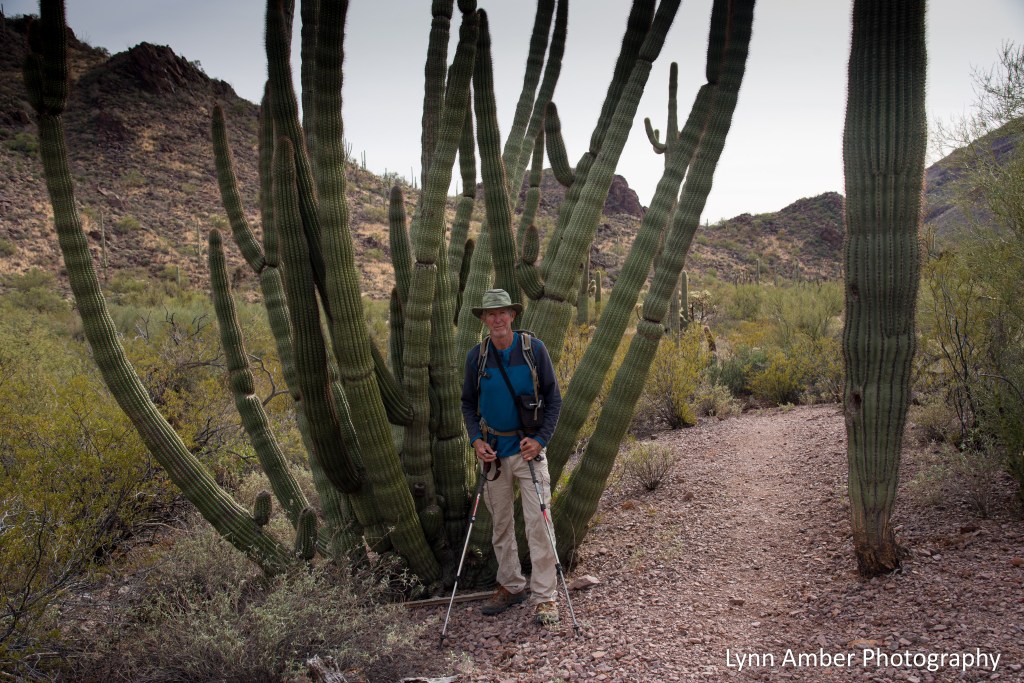
Some of the vegetation on the desert floor along this route includes both Chain Link and Teddy Bear Cholla, Ocotillo, Palo Verde, Creosote Bush, Saguaro, Organ Pipe and Prickly Pear Cacti.

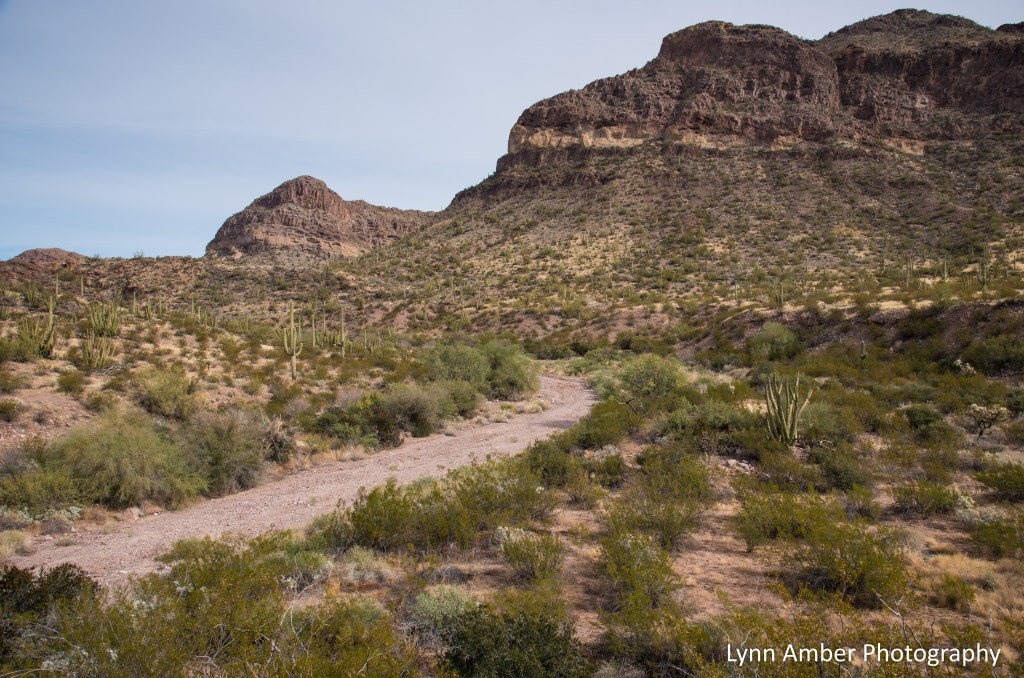
Our first short hike for the day started at the Arch Canyon Trail parking lot. From there, it’s a relatively easy 2.0 mile roundtrip hike that ends below the arches visible from the trail. For those adventurous types, there is an unofficial rock scramble that will take you right up to the arch and is a bit more strenuous. We hiked a short distance up this social trail but turned around at one point and returned to the parking area – it would take too long to do and we had another hike on our agenda further down the road!
The trail climbs slowly into Arch Canyon and, with the increase in elevation, some different plant species are evident in this higher elevation ecosystem – the evergreen jojoba shrub and agave.


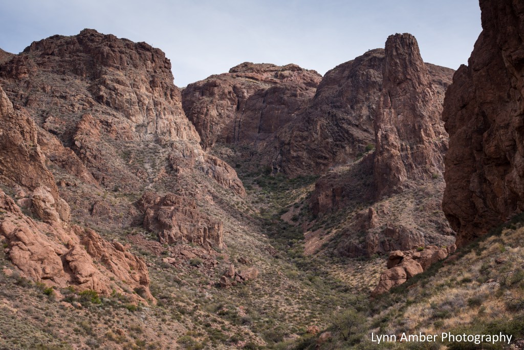
The reddish-brown rock that dominates the Ajo Range is a volcanic rock called rhyolite. Apparently, it’s a type of molten lava that cools very quickly and is a characteristic of shorter mountain ranges such as the Ajo Range.
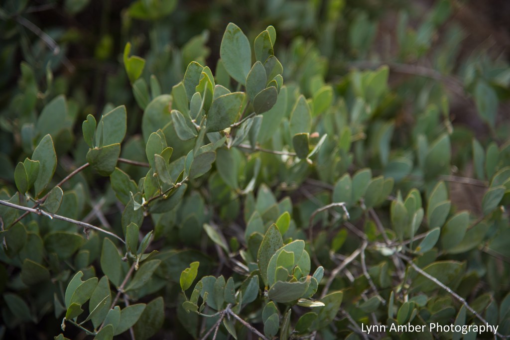
It was fascinating to learn of the jojoba (Simmondsia chinensis) plant’s unique adaptation that enables it to thrive in this desert environment. Jojoba leaves face their edges toward the mid-day sun allowing the plant to conserve water by decreasing evaporation. You can see this in the image below. Also of interest, jojoba oil is a commercial skin care product manufactured from the waxy oil in the jojoba seed and is prized for its antioxidant properties!
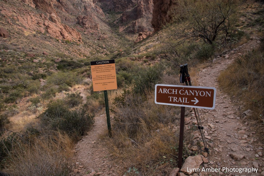
Just beyond this sign marks the end of the maintained trail in Arch Canyon. Every trail in the park also has cautionary signs regarding the possibility of encountering illegal immigrants. While that may seem intimidating, we never felt unsafe in the park and I imagine any encounter would be extremely rare.

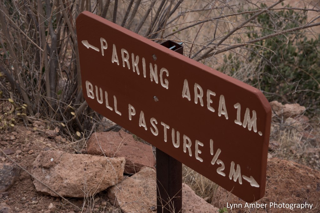
Our next lengthy stop was at the trailhead for the Estes Canyon/Bull Pasture hiking access. We chose to combine the two trails into one 5-mile loop. We started on the Estes Canyon Trail following a clockwise direction and joined the Bull Pasture Trail for the steep ascent up to Bull Pasture overlook. The Estes Canyon section is a more moderate hike along several washes. Once you hit the junction with the Bull Pasture trail, get ready for a hear-pumping climb as the hike becomes more strenuous with numerous switchbacks. The view at the top is worth the effort!
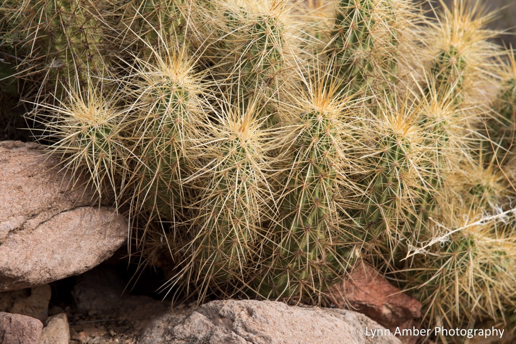
Some plant species along the way included Brittlebush (Encelia farinosa), Hedgehog cactus and more agave. Native Americans such as the Tohono O’odham made use of many desert plants for their survival. Agave species were an important source of food, a sweet syrupy drink and some were harvested for a sisal-type fiber used to make baskets and rope.


When we reached the junction of the Estes Canyon and Bull Pasture trails, we started our steep climb. The landscape was breathtaking!

As we were climbing and negotiating the switchbacks, I kept looking backwards towards the view down the canyon. In the distance on the desert floor, the wash we hiked as part of the Estes Canyon trail is visible winding through the canyon.

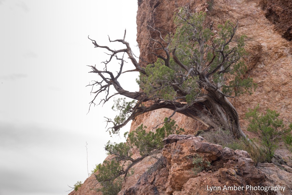
According to historical documentation, the Hokoham and Tohono O’odham people chose canyons like Estes Canyon for their winter homes. Water was more abundant in the higher elevations as well as mammals for hunting. Rounding a corner in the trail, I was fascinated with this old juniper growing out of the side of the rock face. What character it has!
As we neared the high point in the trail, the sky was starting to show off its late afternoon colors! And we realized it was time to head back down the trail as sunset was fast approaching.

We followed the Bull Pasture Trail all the way down to the parking area. On the descent we were treated with some awesome views. I was particularly struck by this palo verde tree that seemed to be suspended in the air it was that close to the edge of the cliff!

I learned an interesting fact about the palo verde tree. Along with mesquite and creosote bush, it acts as a “nurse” plant for saguaro seedlings – protecting them the harsh desert sun and fertilizing them – until they can survive on their own. Of course, once the saguaro takes hold it often overpowers its nurse tree. This is why one often sees dead or dying trees near mature saguaro cacti!
Organ Pipe Cactus National Monument Adventure
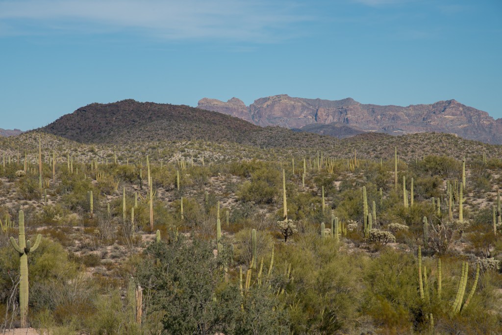
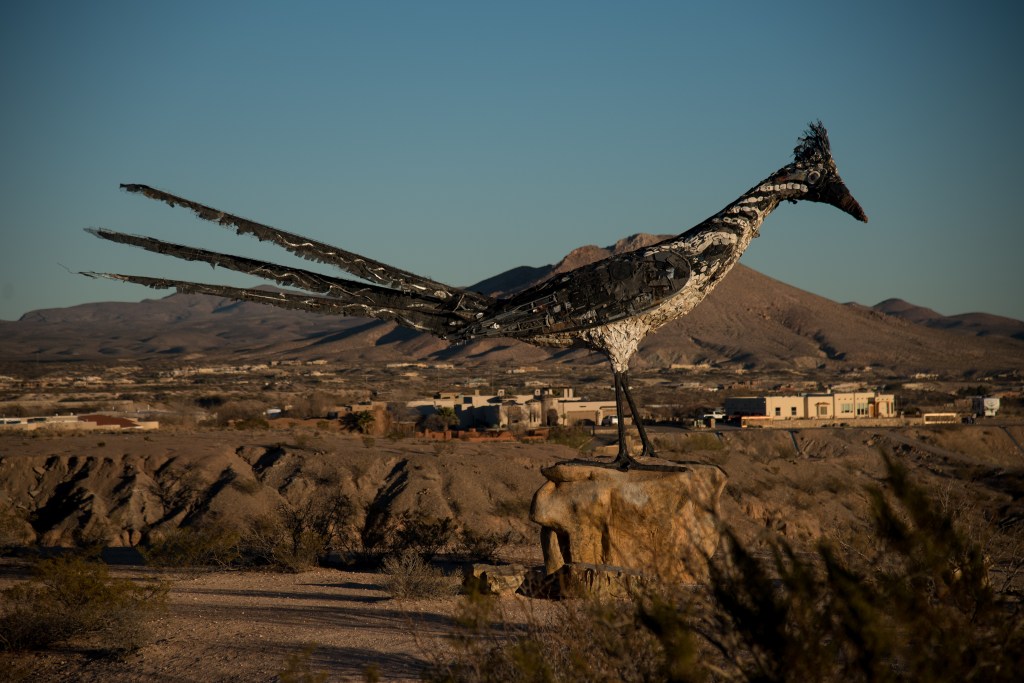
From the Davis Mountains State Park in Texas, we drove two full days to arrive for a brief stopover at the Escapees Saguaro Co-op Campground in Benson, AZ. Our one-night stopover at the Las Cruces Overlook Rest Area was restful and surprisingly quiet! We met a family of five who were pulled in next to us for the night. They were enjoying their first month of full-timing RV-ing and heading east towards the Gulf Coast beaches. The rest area is known for the giant roadrunner sculpture that stands overlooking the city below. It is also monitored 24/7 by a security company so we felt perfectly safe here for the night!
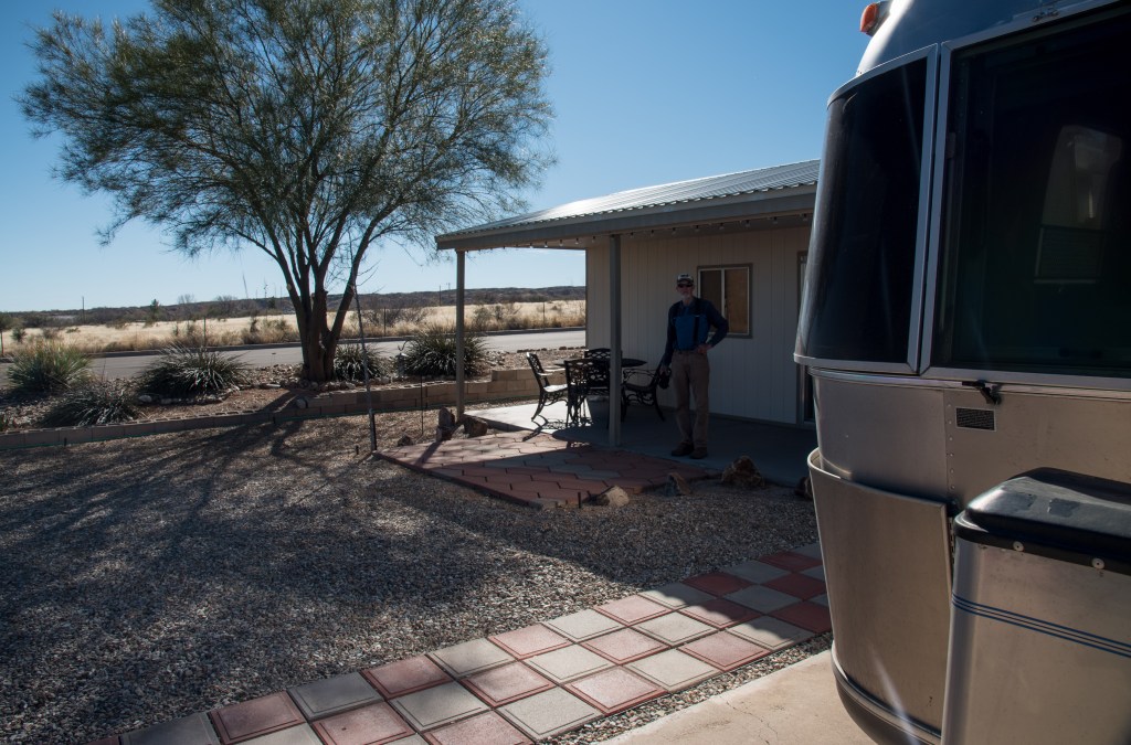
The Saguaro SKP Co-op is a member-only long-term RV park and since it does not take reservations for those hoping to garner a spot while passing through the area, we had to take our chances on getting a site. We always have the option of boondocking but were hoping for some hook-ups. It’s one of a favorite Escapees parks and a great place to chill for a few days and get caught up on laundry, shopping and just plain rest and relaxation. On this trip, we secured a spot with full hook-ups which added to our experience! It was a member-owned lot that was available for nightly rental while the owners were away. The space was also at the end of a street which added to experience!
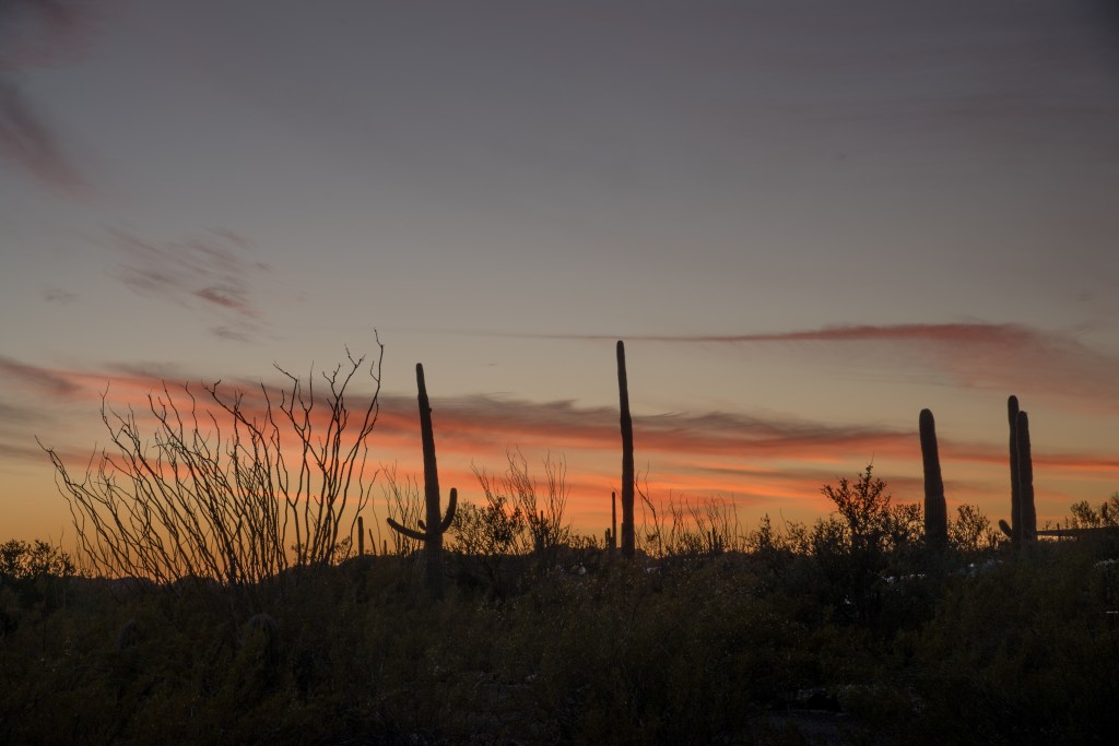
From Benson, it is a short hop down to the Organ Pipe Cactus National Monument and we arrived early in the day to set up camp. The Twin Peaks Campground is located deep into the monument and I was able to reserve a spot for 7 days. Organ Pipe has been on my bucket list for many years and I was so excited to finally be here! We found the campground to be one of the nicest national parks campgrounds we’ve ever seen with beautiful, paved, pull-through sites and plenty of vegetation between sites to allow for maximum privacy. There are no hook-ups here but it’s easy to rely mostly on our solar panels when in the desert! To give you an idea of the thick vegetation in the campground, the photograph below was taken from our campsite! Our first night in the park we experienced the first of many brilliant sunsets!
On our first full day in the park, we biked the 2 miles from the campground to the visitor center so we could get some maps of the park – as well as securing my passport stamp and national park patch!! There is a short nature trail adjacent to the visitor center and I managed to capture this little fellow in one of the cactus plants:
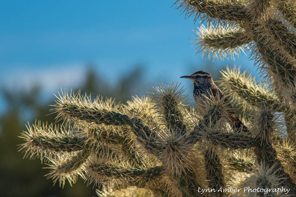
Unfortunately, the interpretive display in the visitor center was closed due to Covid so we did not get to see it but the rangers who were set up at an outside table were extremely helpful in answering any questions we had about the park. To avoid any truck travel on our first day, we decided to hike the Victoria Mine Trail which has its starting point right at the campground. It’s a 5-mile out and back hike that winds through the “green desert” and passes by the site of the old Victoria Mine.
The park was established in 1937 as a national monument but prior to this area getting the protective status of a national monument, there were an abundance of ranches and mining operations in the area. The Victoria Mine is one of the oldest silver mines in SW Arizona. It operated sporadically until 1976 when the designation of the national monument to wilderness status ceased all special use permits for mining.
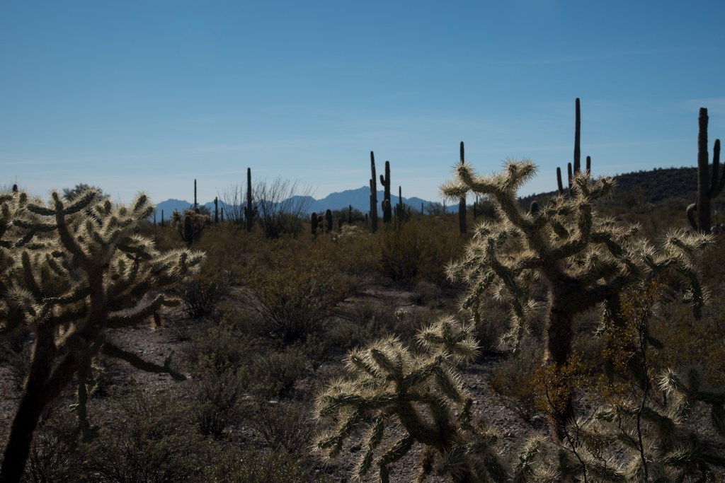
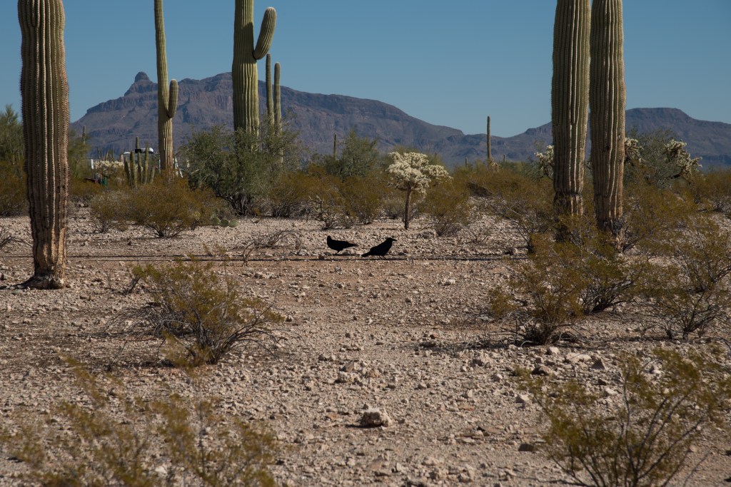
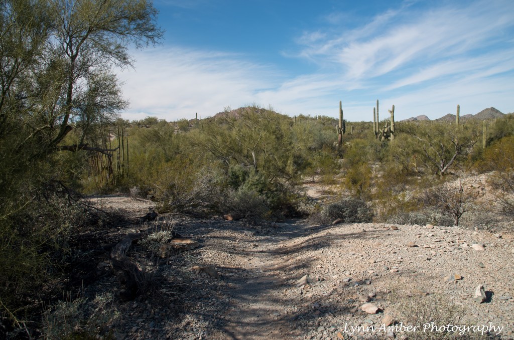
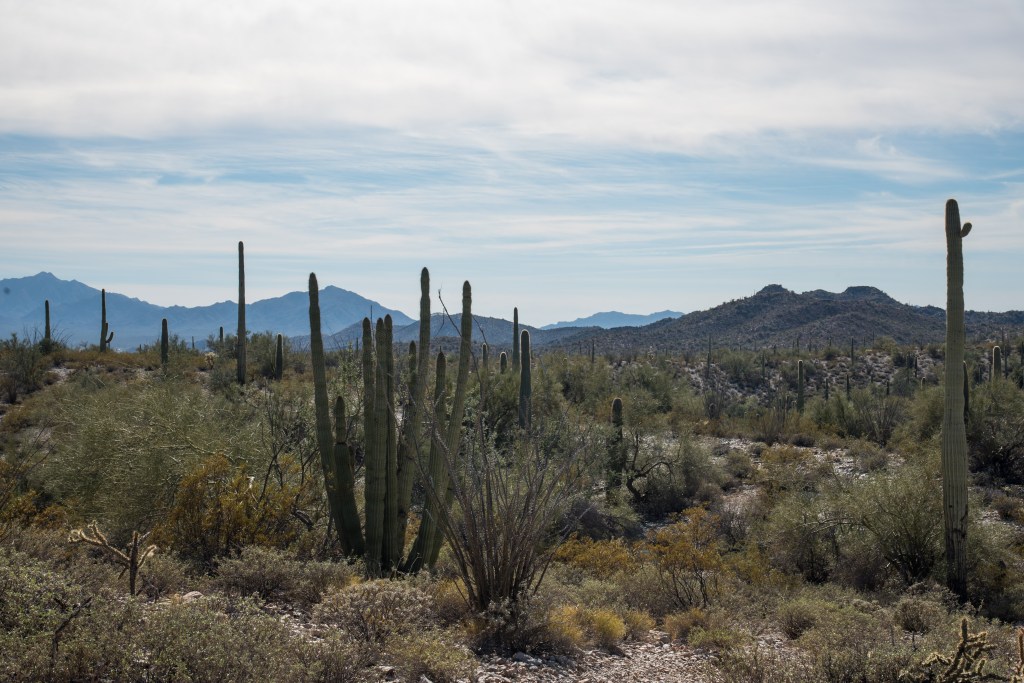
The Sonoran Desert is rich with a diversity of vegetation – from Saguaro cactus and Organ Pipe Cactus to Palo Verde trees and Creosote Bush to several species of Cholla. This area is known as the “green desert” and I can certainly see why! I learned there are two distinct Sonoran desert communities within the national monument – the Lower Colorado Valley and the Arizona Upland communities – each with their own unique characteristics.

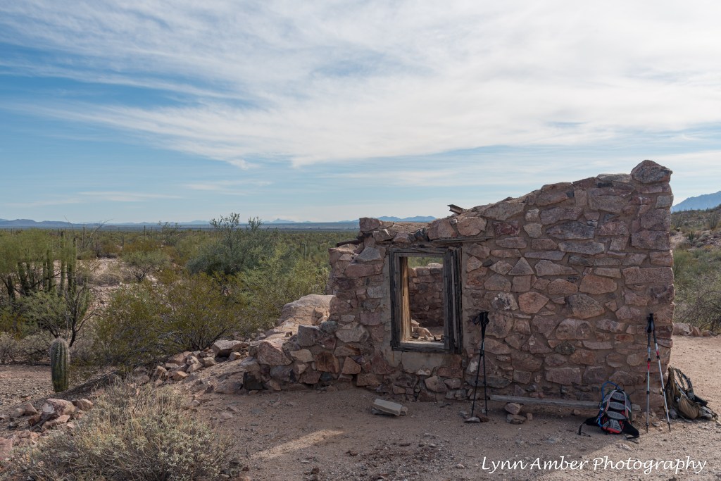
The site of the Victoria Mine has several distinguishing features – including stone ruins, abandoned mine shafts and artifacts strewn across the landscape.
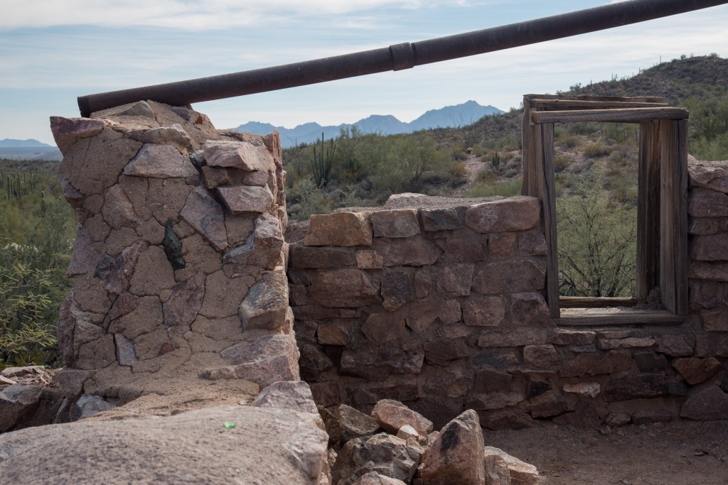
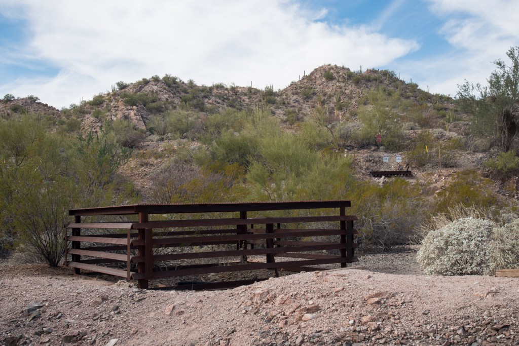
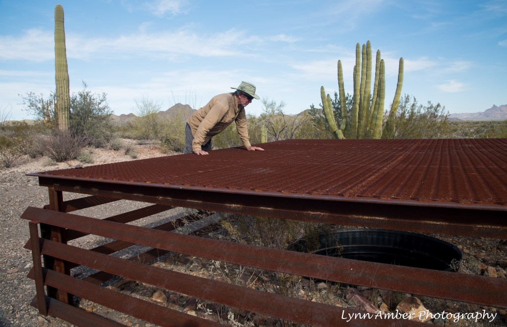
There are numerous mine shafts in the area that have been barricaded off to prevent accidents and also to protect a bat population!
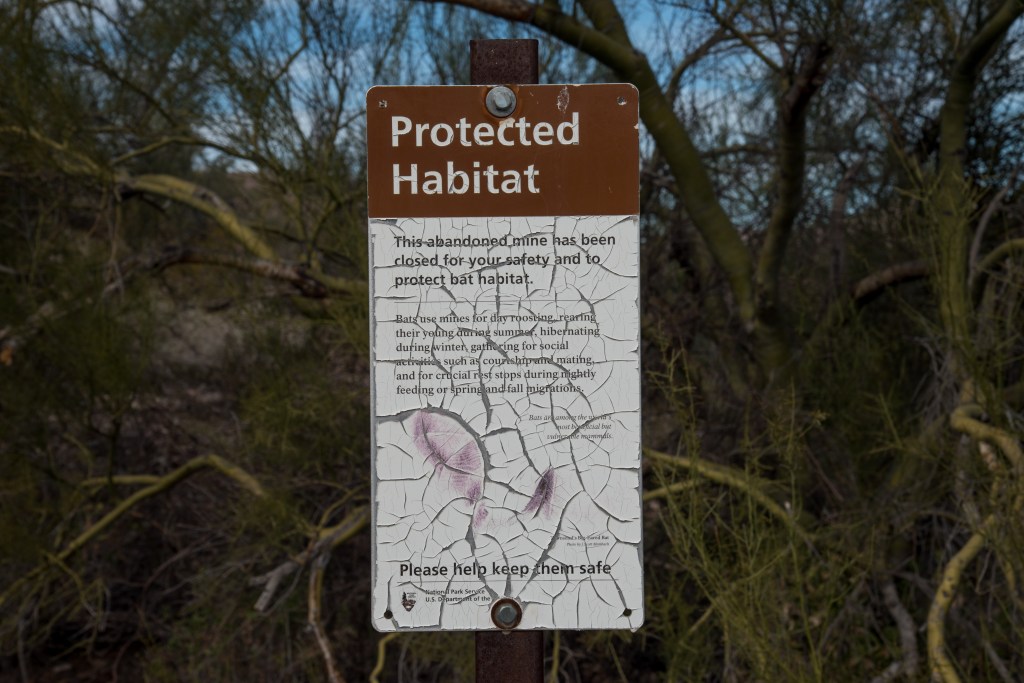
I was surprised to learn that bats use the mine shafts as outlined on this informational sign at the site. Although I do believe that maybe the sign could use some updating! It was one of several signs and the only one that was legible.

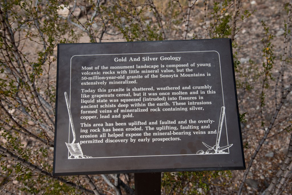
There was an informative sign that explained some of the geology behind the exposure of veins of gold and silver in the area. Fascinating!
In addition to the stone ruins and mine shafts, there were lots of artifacts littering the ground – from piles of old tin cans to pieces of left-over equipment.

Walking along the trail, we found lots of green rock and wondered what it was – some sort of volcanic rock?

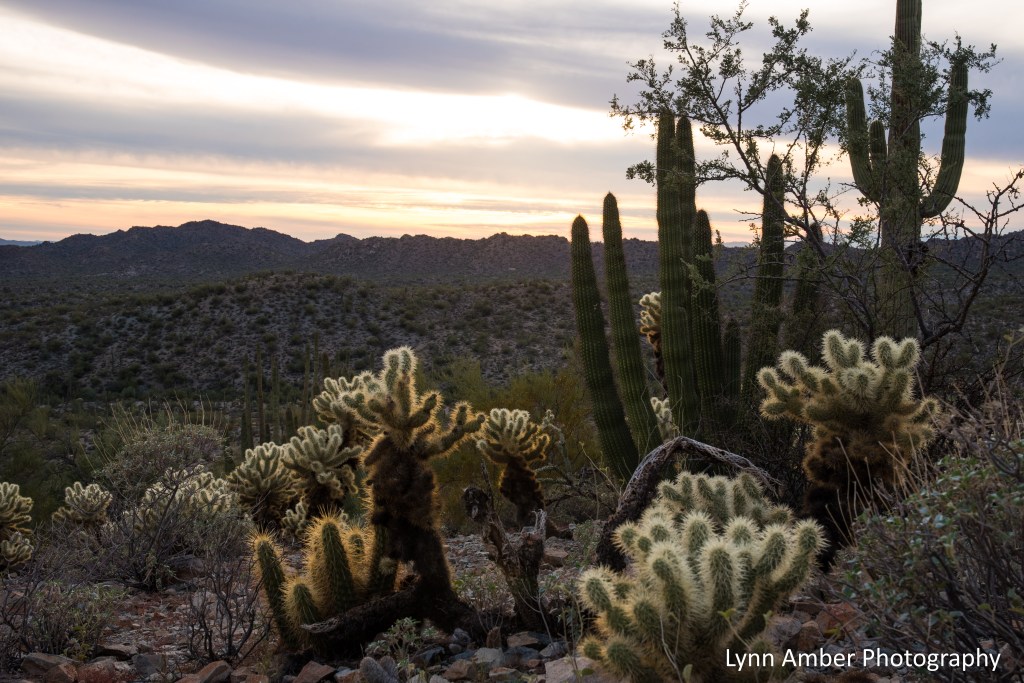
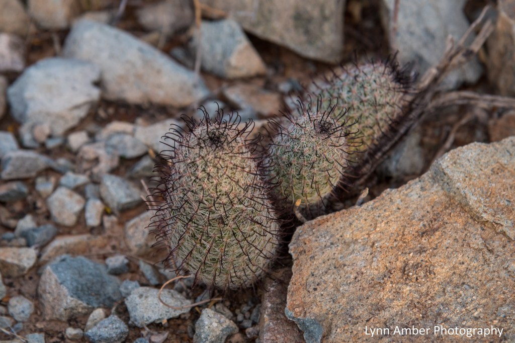
And of course I never tire of finding cool cacti to photograph!! Some sort of barrel cactus, type of hedgehog cactus and chain link cholla below.
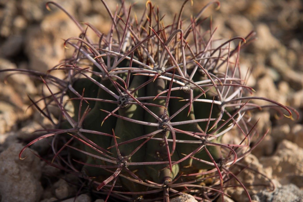
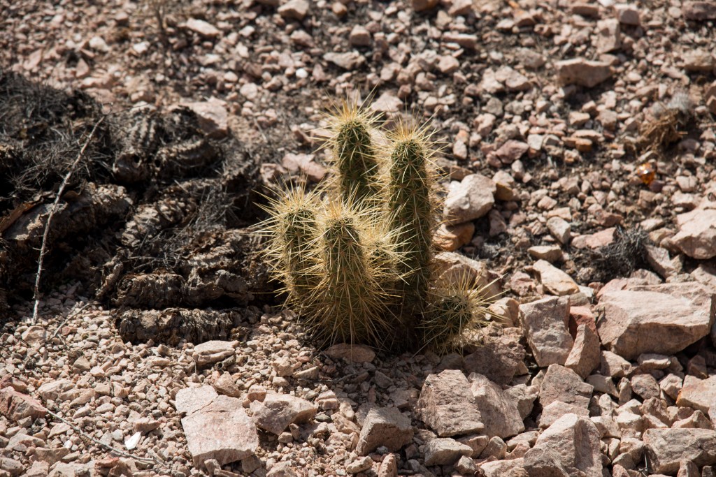
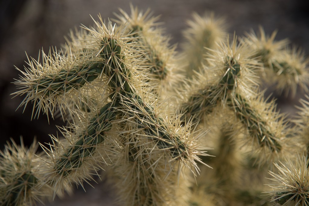
A fun day on the Victoria Mine Trail. Along the way, we saw cactus wrens, Gambel’s quail, Gila woodpeckers and a whole bunch of lizards!
Stay tuned for more Organ Pipe Cactus NM adventures!! Next up will be our 21-mile drive on the Ajo Mountain Drive with a couple of cool hikes along the way!

