Lynn Amber - Travel & Photography
sharing my thoughts through words and images
Organ Pipe Cactus National Monument Part 2
As I sit here in a very damp, cool national forest campground along the Oregon coast, I’m thinking back to the sunny, warm desert! I decided to continue on with my recap of our Organ Pipe Cactus National Monument visit in January while waiting for the clouds to disperse!
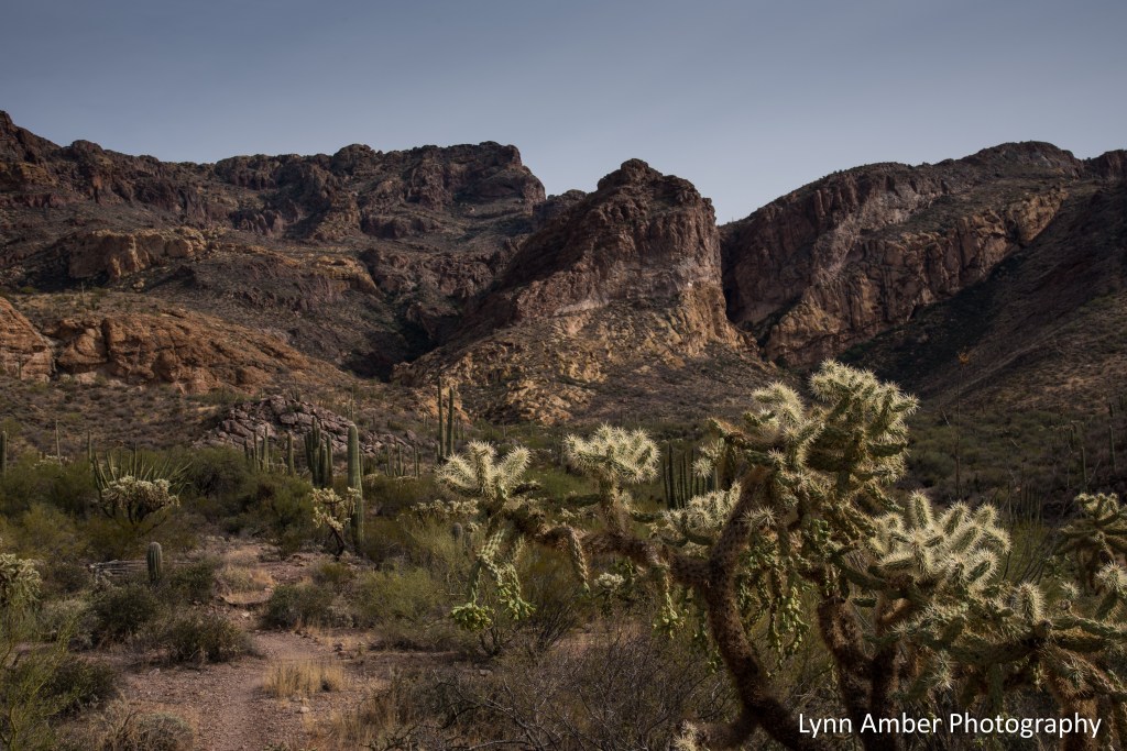
On our third day in the far southwest Sonoran Desert, we decided to complete the 21-mile Ajo Mountain Drive – stopping along the way for two hikes. This picturesque road trip is a must-do while exploring the park even if you don’t plan on completing any of the hiking trails accessed along this road. The mostly one-way road winds through the Diablo Mountains (love that name!), along the foothills of the Ajo Mountain Range and offers up stunning views of the Sonoran Desert valley. I highly recommend stopping off at the Kris Eggle Visitor Center right across the road from the Ajo Mountain Drive and picking up a paper copy of the Ajo Mountain Drive Guide (or downloading the PDF version to your phone). Using the guide, read about each of the marked stops along the way. Highly informative!
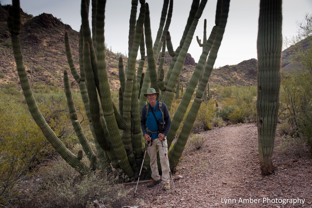
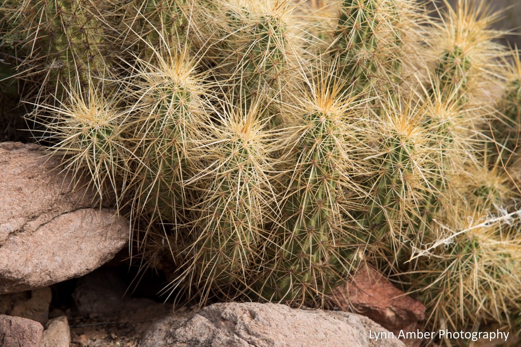
Some of the vegetation on the desert floor along this route includes both Chain Link and Teddy Bear Cholla, Ocotillo, Palo Verde, Creosote Bush, Saguaro, Organ Pipe and Prickly Pear Cacti.

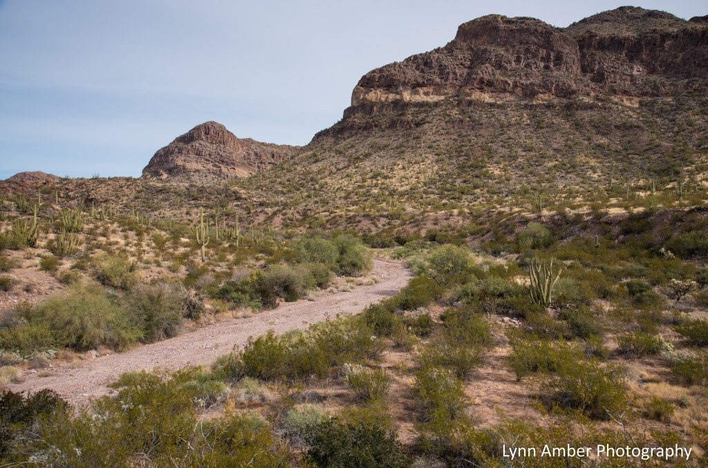
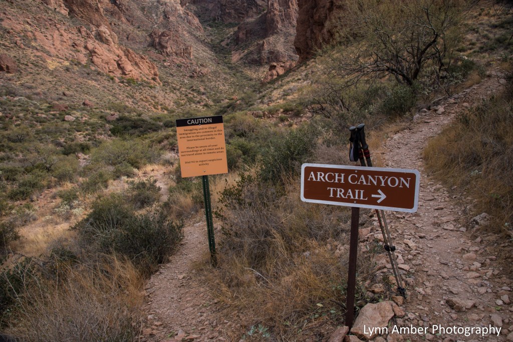
Our first short hike for the day started at the Arch Canyon Trail parking lot. From there, it’s a relatively easy 2.0 mile roundtrip hike that ends below the arches visible from the trail. For those adventurous types, there is an unofficial rock scramble that will take you right up to the arch and is a bit more strenuous. We hiked a short distance up this social trail but turned around at one point and returned to the parking area – it would take too long to do and we had another hike on our agenda further down the road!
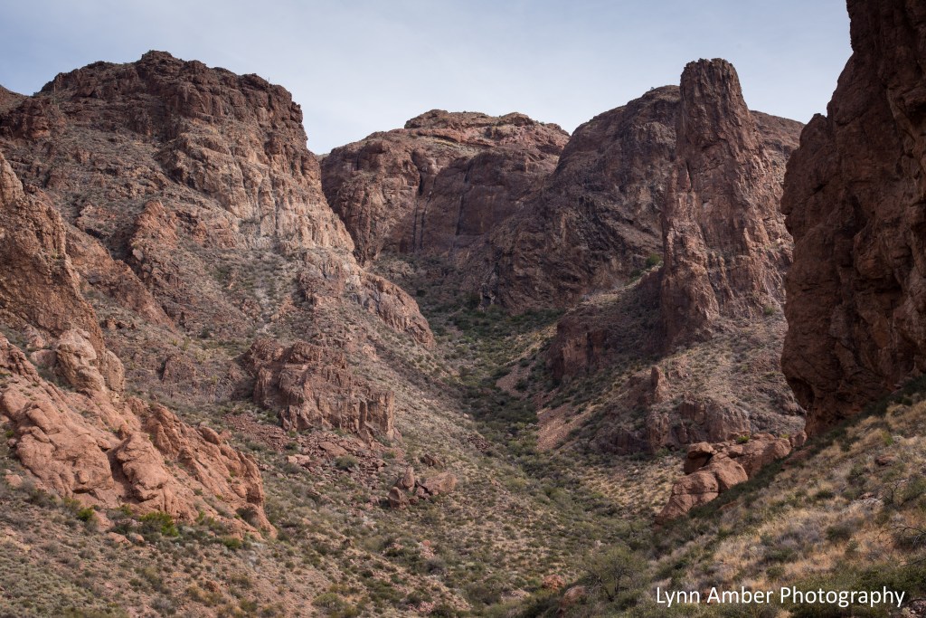
The trail climbs slowly into Arch Canyon and, with the increase in elevation, some different plant species are evident in this higher elevation ecosystem – the evergreen jojoba shrub and agave.


The reddish-brown rock that dominates the Ajo Range is a volcanic rock called rhyolite. Apparently, it’s a type of molten lava that cools very quickly and is a characteristic of shorter mountain ranges such as the Ajo Range.
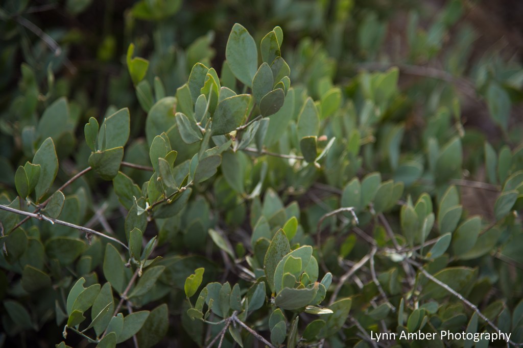
It was fascinating to learn of the jojoba (Simmondsia chinensis) plant’s unique adaptation that enables it to thrive in this desert environment. Jojoba leaves face their edges toward the mid-day sun allowing the plant to conserve water by decreasing evaporation. You can see this in the image below. Also of interest, jojoba oil is a commercial skin care product manufactured from the waxy oil in the jojoba seed and is prized for its antioxidant properties!
Just beyond this sign marks the end of the maintained trail in Arch Canyon. Every trail in the park also has cautionary signs regarding the possibility of encountering illegal immigrants. While that may seem intimidating, we never felt unsafe in the park and I imagine any encounter would be extremely rare.

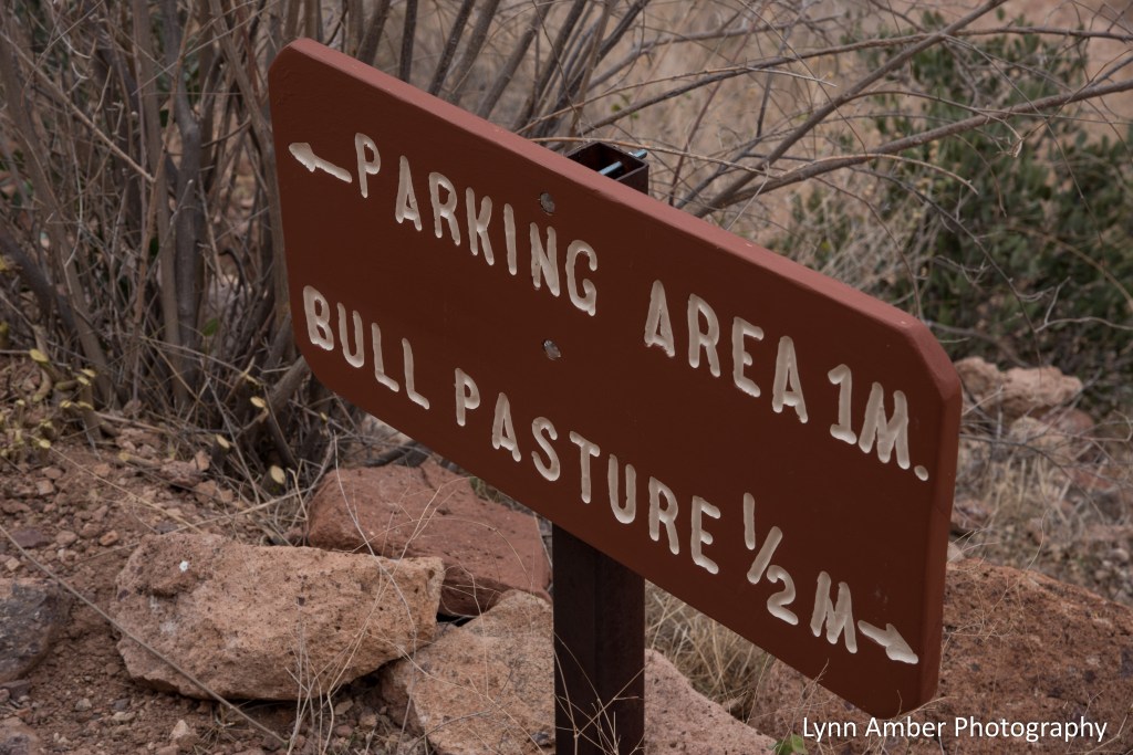
Our next lengthy stop was at the trailhead for the Estes Canyon/Bull Pasture hiking access. We chose to combine the two trails into one 5-mile loop. We started on the Estes Canyon Trail following a clockwise direction and joined the Bull Pasture Trail for the steep ascent up to Bull Pasture overlook. The Estes Canyon section is a more moderate hike along several washes. Once you hit the junction with the Bull Pasture trail, get ready for a hear-pumping climb as the hike becomes more strenuous with numerous switchbacks. The view at the top is worth the effort!
Some plant species along the way included Brittlebush (Encelia farinosa), Hedgehog cactus and more agave. Native Americans such as the Tohono O’odham made use of many desert plants for their survival. Agave species were an important source of food, a sweet syrupy drink and some were harvested for a sisal-type fiber used to make baskets and rope.


When we reached the junction of the Estes Canyon and Bull Pasture trails, we started our steep climb. The landscape was breathtaking!

As we were climbing and negotiating the switchbacks, I kept looking backwards towards the view down the canyon. In the distance on the desert floor, the wash we hiked as part of the Estes Canyon trail is visible winding through the canyon.

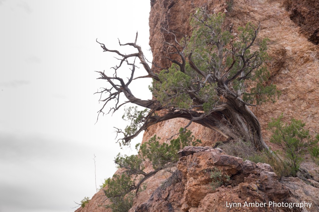
According to historical documentation, the Hokoham and Tohono O’odham people chose canyons like Estes Canyon for their winter homes. Water was more abundant in the higher elevations as well as mammals for hunting. Rounding a corner in the trail, I was fascinated with this old juniper growing out of the side of the rock face. What character it has!
As we neared the high point in the trail, the sky was starting to show off its late afternoon colors! And we realized it was time to head back down the trail as sunset was fast approaching.

We followed the Bull Pasture Trail all the way down to the parking area. On the descent we were treated with some awesome views. I was particularly struck by this palo verde tree that seemed to be suspended in the air it was that close to the edge of the cliff!

I learned an interesting fact about the palo verde tree. Along with mesquite and creosote bush, it acts as a “nurse” plant for saguaro seedlings – protecting them the harsh desert sun and fertilizing them – until they can survive on their own. Of course, once the saguaro takes hold it often overpowers its nurse tree. This is why one often sees dead or dying trees near mature saguaro cacti!
