Hiking Acadia – Part 2

Champlain cruise ship (1 of 1)
View of Frenchman’s Bay and cruise ship anchored in the harbor – from Champlain North Ridge Trail

AUGUST IN MAINE

Fog rolls in slowly

Replaced by the scorching sun

The sea breeze gives relief.

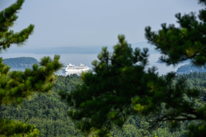
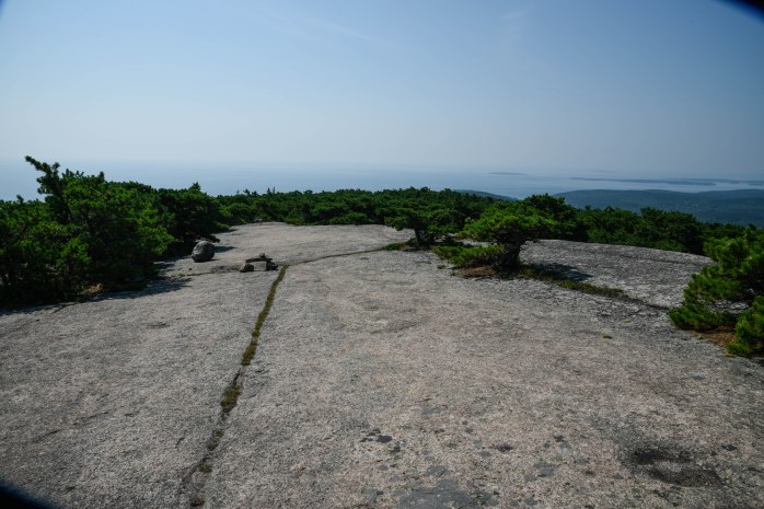
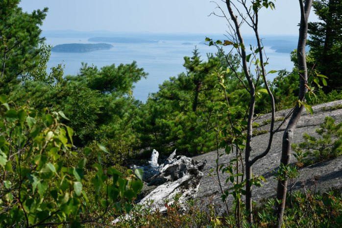
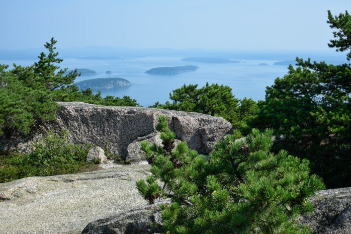
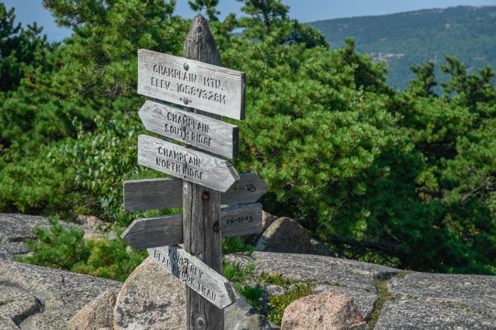
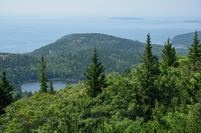
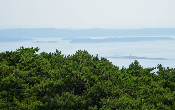
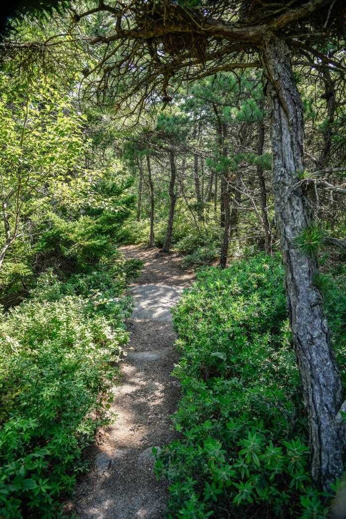
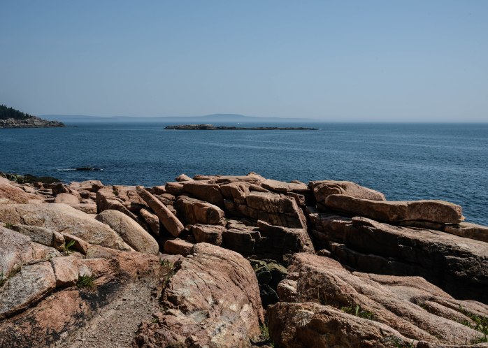
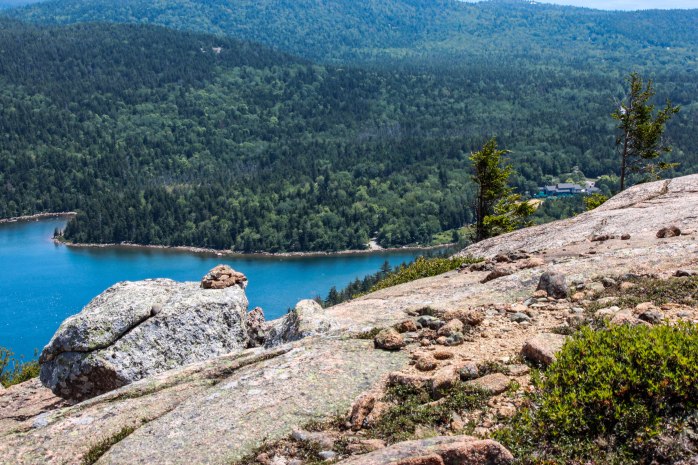
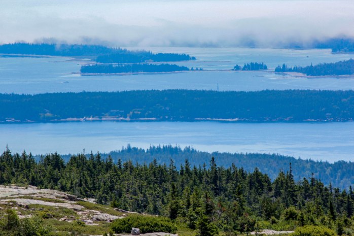
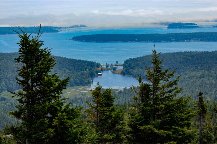
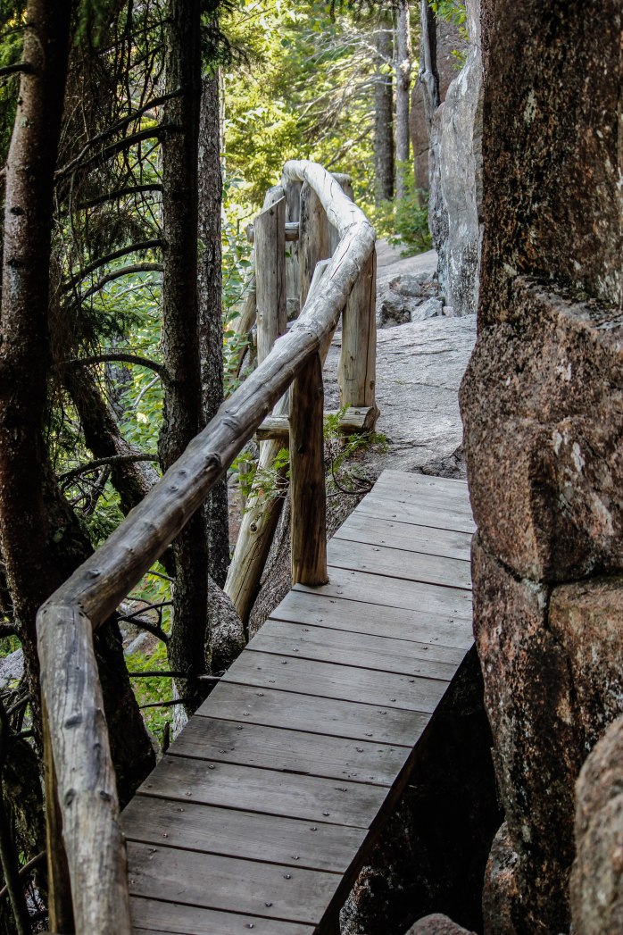
I set my alarm this morning (on my day off which I rarely do!) and got up early so I could catch the 8:30am shuttle to the Sieur de Monts area.  My goal was to transfer to the Park Loop shuttle and get dropped off at the trailhead for the Champlain North Ridge Trail.  It was already way to hot and humid at 8:30 am!   This was going to be one hot hike.  I wanted to get an earlier start to beat the heat but am limited by the shuttle schedule.  Perseverance is the name of the game today!  I started my hike this morning trailing two couples accompanied by their dogs.  We traded taking the lead all the way to the summit.  I truly felt sorry for the dogs.  They had water for them but still had to stop frequently during the steep mile climb to the summit of Mt. Champlain.  And the rocky granite trail was heating up fast and must have been hot on their little paws!

Champlain granite (1 of 1)
Champlain North Ridge Trail granite ascent!  This side of the mountain offers great views of Bar Harbor and Frenchman’s Bay and the trail is primarily on granite.

I was well-equipped with water and snacks.  A year ago, in the Tetons I purchased a small Camelbak pack called the L.U.X.E. NV.  It is just the right size for me for both hiking and biking, and has a 3-liter capacity water bladder.  What I really love about this small pack is that it has a magnetic attachment for the water line that very nicely stays put while hiking.  Since using this pack, I have found that I stay much better hydrated on the trail.  I can take small sips as I am hiking instead of needing to stop and pull water bottles out of side pockets!  I started the day with 2-liters of water which I was sure would be adequate for the 5 mile hike. 😊

I’m going to offer up a list of some of my favorite hikes – starting with this mornings hike.  Short, sweet entries detailing route and mileage with pictures – starting with two of my most recent hikes.

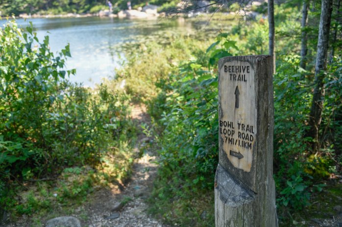
CHAMPLAIN MOUNTAIN TO BLACKWOODS CAMPGROUND

Take the Park Loop shuttle to the Champlain North Ridge Trail, hike up and over Champlain Mountain. Take the Champlain South Ridge Trail to the Bowl Trail.  Two choices depending on weather and preferences – take the Bowl Trail to the Ocean Path Trail and hike along the cliffs until reaching the Gorham Mountain Trailhead parking lot.  Take the Gorham Mountain Trail to its junction with the Otter Cove Trail.  Pick up this trail and hike the Quarry Trail back to Blackwood’s Campground.   Alternately, you can take the Gorham Mountain North Trail off the Bowl Trail and hike up and over Gorham Mountain – picking up the Otter Cove Trail on the other side.  Either route gives you about a 5.7 mile hike.


Champlain North view (1 of 1)
Ascent of Champlain North Ridge Trail – stop often to look back for views of Frenchman’s Bay!
Champlain North view 3 (1 of 1)
View of the Porcupine Islands in Frenchman’s Bay
Champlain North summit (1 of 1)
Steep mile climb is rewarded with summit sign!  Hottest hike of the summer!!
Champlain Bowl view 2 (1 of 1)
Descending on the Champlain South Ridge Trail – view of The Bowl and ocean beyond
Champlain haze (1 of 1)
The haze today was very evident in these photos – air quality alerts were in effect.  This is not unusual for Acadia with the pollution coming from the Midwest and Northeast industry.
Champlain shade (1 of 1)
Descending the trail there were pockets of shade – a very welcome relief from the scorching sun
Champlain trail head sign 2 (1 of 1)
The popular Bee Hive trail ends at The Bowl.  I decided to take the Bowl Trail down to the Ocean Path along the Loop Road instead of traverse up and over Gorham Mountain.  I’ve hiked Gorham several times and preferred to seek an ocean breeze!!
Ocean Path pink granite 2 (1 of 1)
Pink granite cliffs abound along the Ocean Path.  The first three weeks of August are the busiest in Acadia and the well-traveled Ocean Path was packed with people.  But, the breeze was welcome!!
Ocean Path sumac (1 of 1)
Sumac blooming along the coast is quite majestic!
Otter Cove roses (1 of 1)
Otter Cove roses

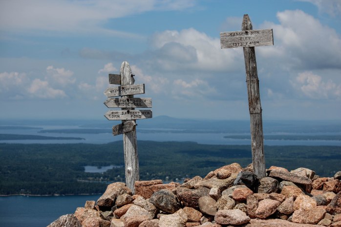
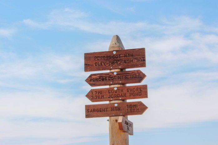
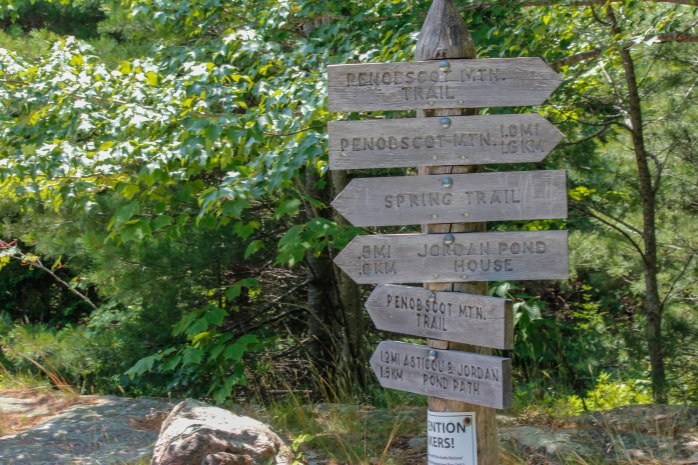
SARGENT AND PENOBSCOT MOUNTAINS

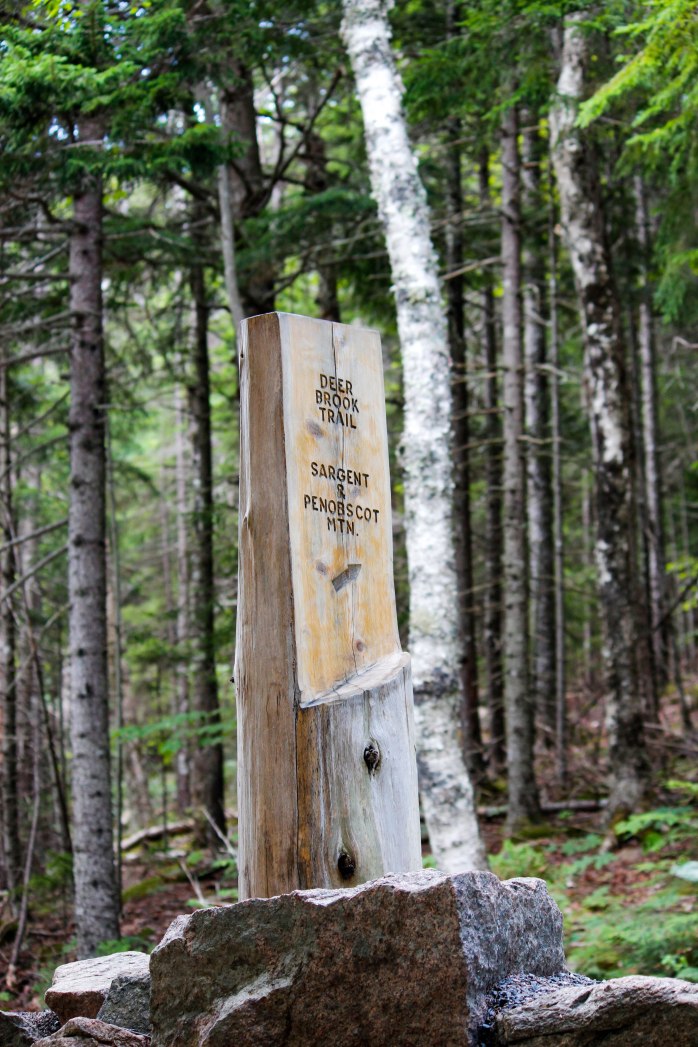
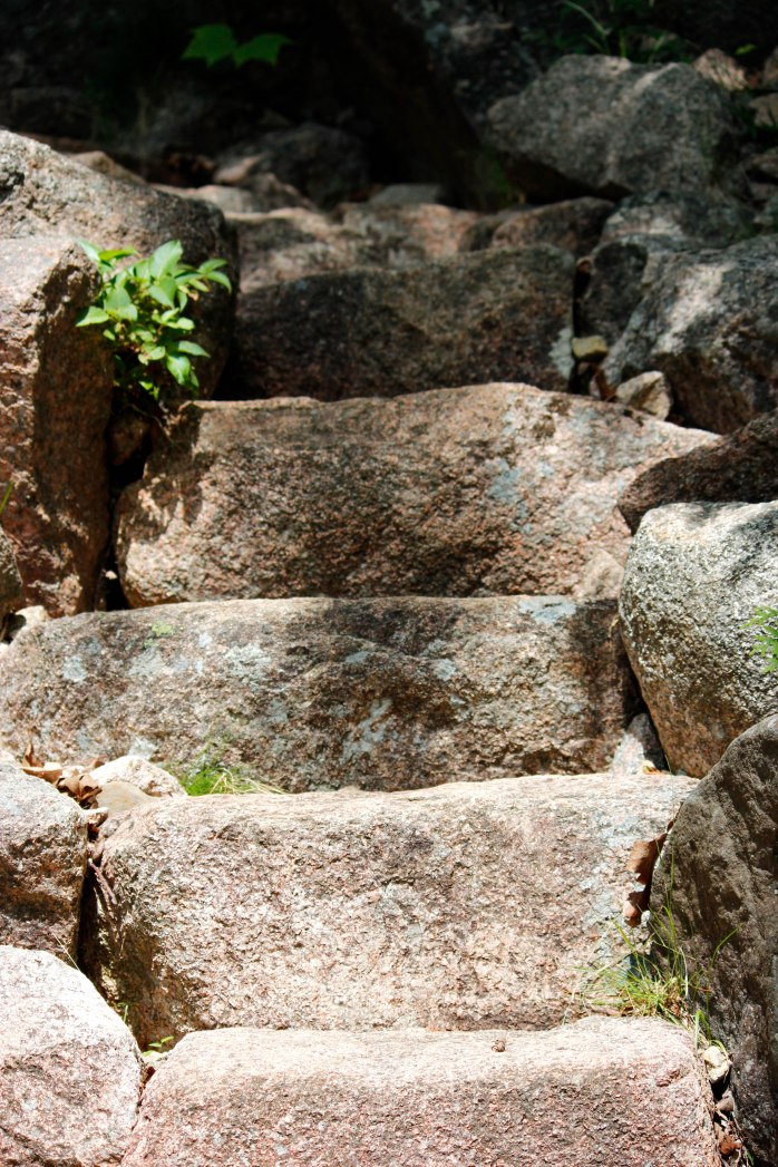
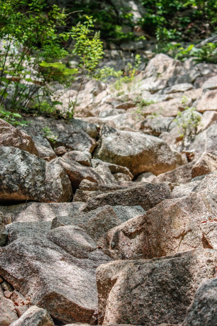
Park at the Jordon Pond Boat Launch Parking Area and take the Jordon Pond Path to the Around Mountain Carriage Road.  Hike this to the Deer Brook Trail and start your ascent.  Vere off onto the East Cliffs Trail (.8-mile steep climb) and take this to the summit of Sargent.  Pick up the South Ridge Trail to Penobscot Trail via the Sargent Mtn. Pond.  After summiting Penobscot Mountain continue on this trail to its junction with the Spring Trail.  This steep descent lands you at the carriage road back to the Jordon Pond Path and the parking lot at boat launch.  Approximately a 5.4-mile loop hike.

Deer Brook Bridge (1 of 1)
I’ve just about photographed all of Rockefeller’s Bridges on the carriage road system.  This is the Deer Brook Bridge

Deer Brook Trailhead (1 of 1)

Deer Brook Steps (1 of 1)
Steep stone stairs such as this are characteristic of the ascent on the Deer Brook Trail
Rocky climb up East Cliff Trail (1 of 1)
Yes – this is the trail up the East Cliff to Sargent Mountain!
Blueberry diversion (1 of 1)
My ascent was slowed by the presence this delightful little plant!!  Yum! Yum!
East Cliff Trail view to Jordan Pond (1 of 1)
From the East Cliff Trail, the views back towards Jordan Pond were framed with these beautiful oak trees!
East Cliff Trail view to Jordan Pond 2 (1 of 1)
Jordan Pond below the snaking Park Loop Road
Sargent summit (1 of 1)
Satisfying steep, heart-pumping climb to  the top of Sargent Mountain!
Sargent summit wood lily (1 of 1)
 Lilium philadelphicum – Wood Lily   I was amazed to find this lily on top of Sargent Mountain.  I have read that this is a declining species in the park.  It is listed as endangered in some states.  I was thrilled to stumble upon it!

Penobscot summit (1 of 1)

Penobscot Descent view of Jordan Pond House (1 of 1)
My lunch spot just past the Penobscot summit – can you spot Jordan Pond House in the distance?
Fog over the ocean Penobscot trail (1 of 1)
There was a considerable amount of fog still lingering over the coast.  Hard to capture on camera!
Penobscot trail view of Little Long Pond (1 of 1)
Descending Penobscot, I captured the beautiful view of Little Long Pond – one of my favorite spots to walk in the early evenings.  Great to get a bird’s eye view of this lovely little pond!
Trailhead for Spring trail (1 of 1)
My plan was to take the Spring Trail back to Jordan Pond and the parking lot.  A VERY steep trail!  Did I mention that I rolled my ankle near the summit of Penobscot and was walking very gingerly for the remaining of the 1.7 mile hike!!  Yikes – at least I could put weight on it.   It was a slow descent on this trail!!  Thankful I had my trekking poles!! 🙂
Spring trail (1 of 1)
Some of the obstacles on the Spring Trail – I had to scoot down some of the steep parts on my arse!!!   

Hiking with a swollen, rolled ankle was not pleasant.  Once I got back to the parking lot, I felt a sigh of relief that I did not injure it more.  Back at the trailer, I was surprised how swollen it was when I took my boot off!   Iced it up, and was lucky that it was just a sprain.   Three weeks later, I’m fully healed!!


Leave a Reply

Fill in your details below or click an icon to log in:

WordPress.com Logo

You are commenting using your WordPress.com account. Log Out /  Change )

Facebook photo

You are commenting using your Facebook account. Log Out /  Change )

Connecting to %s

%d bloggers like this: