Lynn Amber - Travel & Photography
sharing my thoughts through words and images
Le Puy Camino – via Podiensis: Tallode to Saint-Privat d’Allier
April 1, 2023
Our second day on the walk and we woke feeling refreshed and ready to go. We had reservations for an accommodation in Montbonnet but, since our 12km walk yesterday went well, we decided that it was too close and opted to change our plans. One day completed and we were already making alternations! 🙂
This is when the use of a luggage transport company can complicate life. We decided to walk to Saint-Privat-d’Allier instead of stopping in Montbonnet and I confirmed with our reservation in Saint-Privat that we could arrive a day early. We could not talk directly to the luggage transfer company but left them a message that our luggage drop had changed – hoping for the best!
The day started out with a mix of sun and clouds and continued in that fashion throughout the afternoon.
The night before, we shared a room with Laure and she was to become our new friend along the Way. We crossed paths with her many times over the next two weeks.
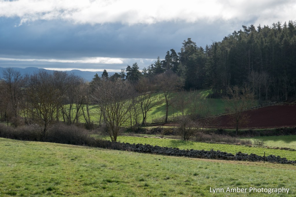
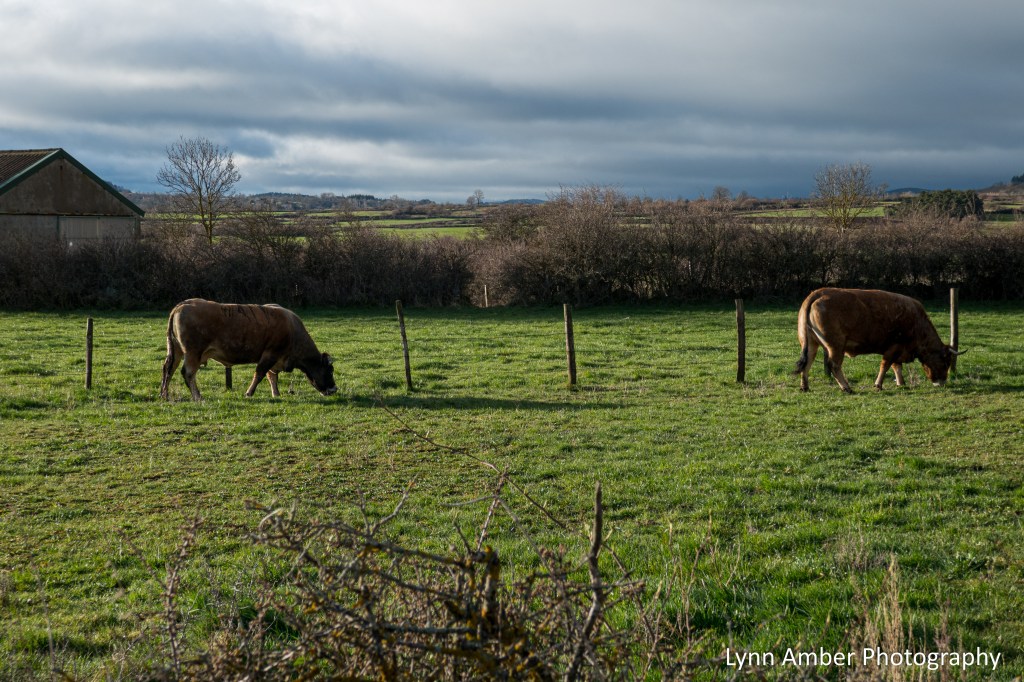
After leaving the gîte, we backtracked the short distance to the GR65 and set our course towards Montbonnet. The early morning walk was characterized by ominous-looking clouds interspersed with radiant sunshine that made for some dramatic landscapes. What I remember most about the walk between Tallode and Montbonnet are the freshly plowed farm fields and the livestock. The GR65 traversed mostly dirt and paved country roads heading towards Montbonnet – so fairly easy walking.
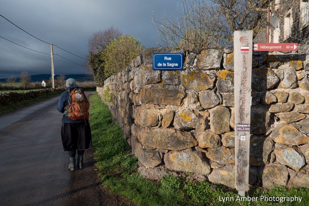

A short distance from Tallode, there is a variant or alternate route that detours through the small hamlet of Bains. We chose to stay on the main GR65 and continue towards the small town of Ramousroucle.
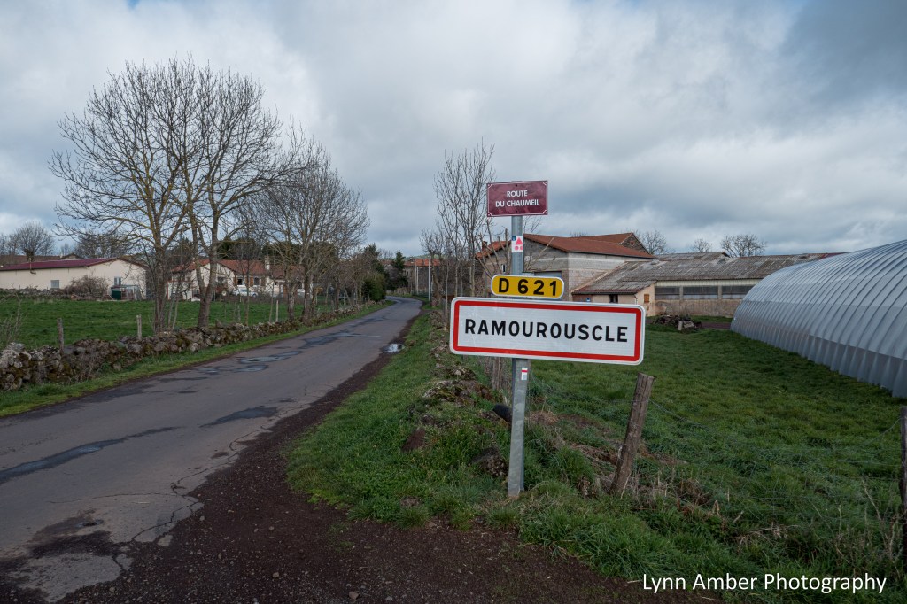
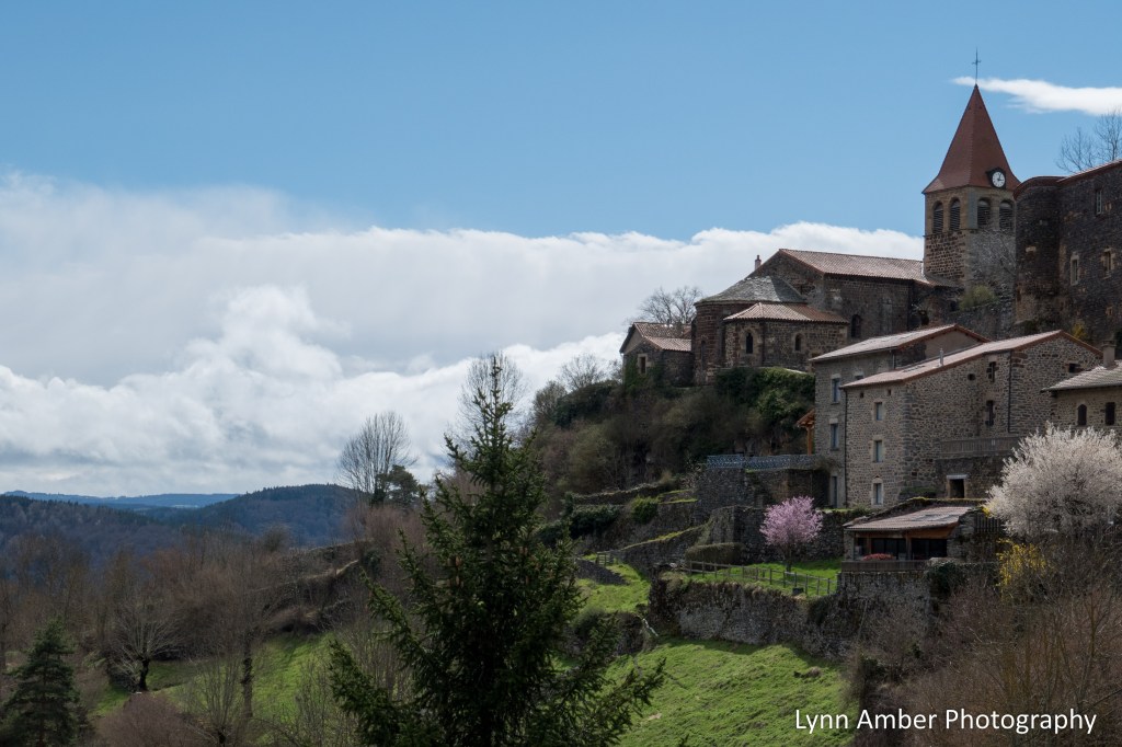
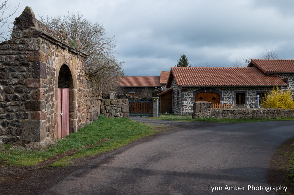
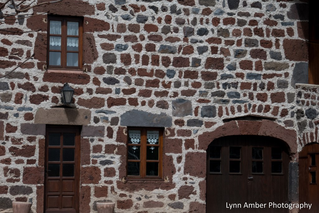
After walking about 6 kilometers, we came upon the sign announcing our arrival in the village of Ramourouscle. The architecture of the village is typical of many in this region with stone and tile predominating.
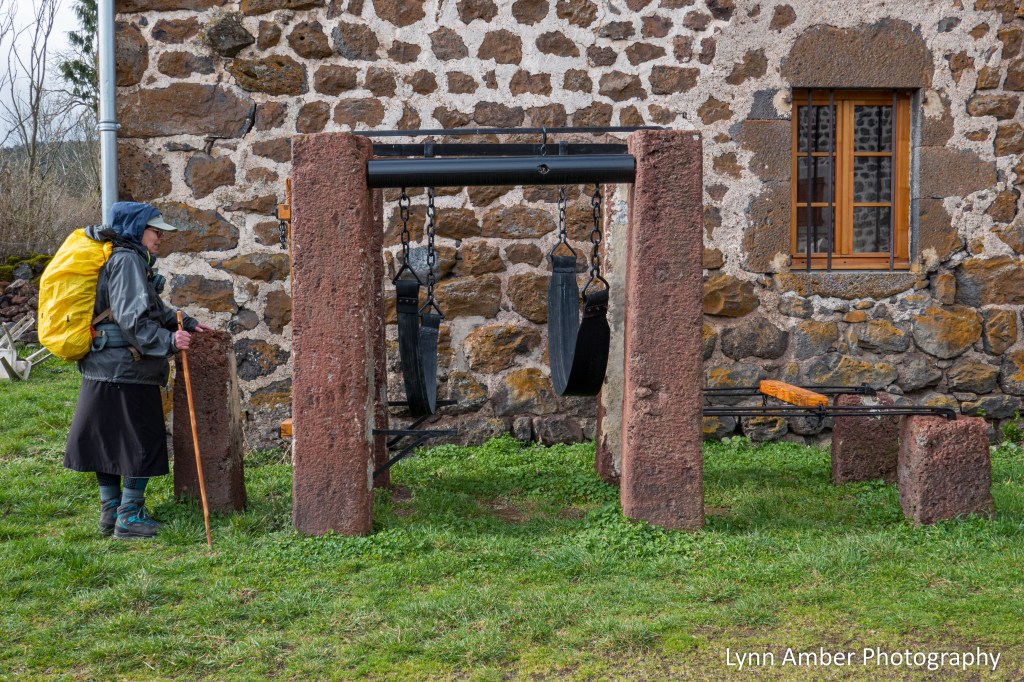
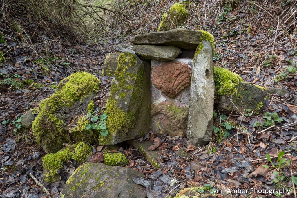
In the village we noticed the above device and wondered purpose it might have served. I was pretty sure it involved farm animals. After doing some research, I discovered that this is a “travail à ferrer” – a means of containing large animals for “shoeing”. We saw examples of these structures several times along the Way.
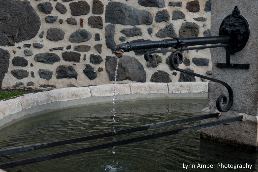
In many villages, old fountains still exist as a reminder of times past. In most cases today, these are marked as non-potable. I love the ironwork on this one!
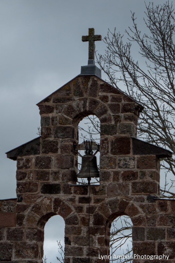
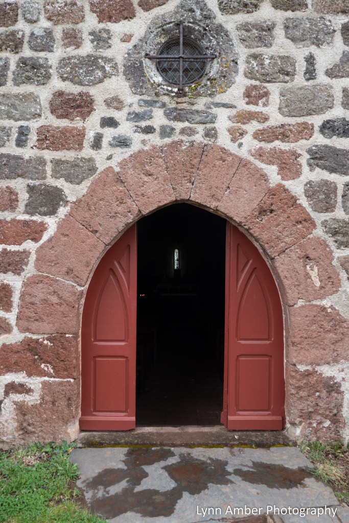
Just before entering the town of Montbonnet, the GR65 passes by a beautiful 11th century chapel called the Chapelle Saint-Roch. It deserved a closer look and I took the time to wander around the outside and inside of this Romanesque chapel. It was built by the Montlaur family who were barons of Montbonnet. Originally dedicated to Saint James, it later became associated with Saint Roch. Legend has it that Saint Roch was born with a red birthmark on his chest in the image of a cross. He was born in 1295 into a wealthy family whose father was the governor of Montpellier. Aa a young man, after his parents death, he renounced his wealth, gave his money to the poor and refused to take over the reigns of the governorship in his fathers place. He embarked on the life of a pilgrim traveling to Italy to visit all the holy places along the way.
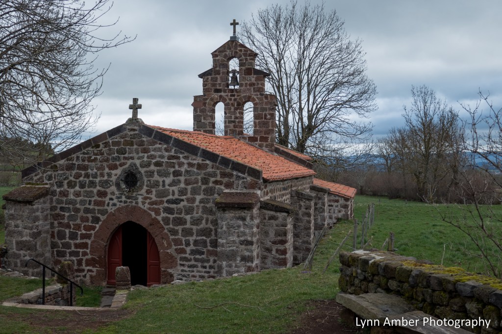
While tending to people stricken with the plague, he himself succumbed to the disease and stole away to the forest to isolate himself from others. It is said that a dog from a neighboring farm found him and brought him food and nursed his wounds. He is known as the patron saint of dogs and dog owners and knee problems – as well as the patron saint of invalids. Statues often depict him with a dog at his side and his pilgrim garb hiked up to show his plague-scarred “bubo” on his thigh. He is often thought of today as a patron saint of pilgrims along with Saint James.
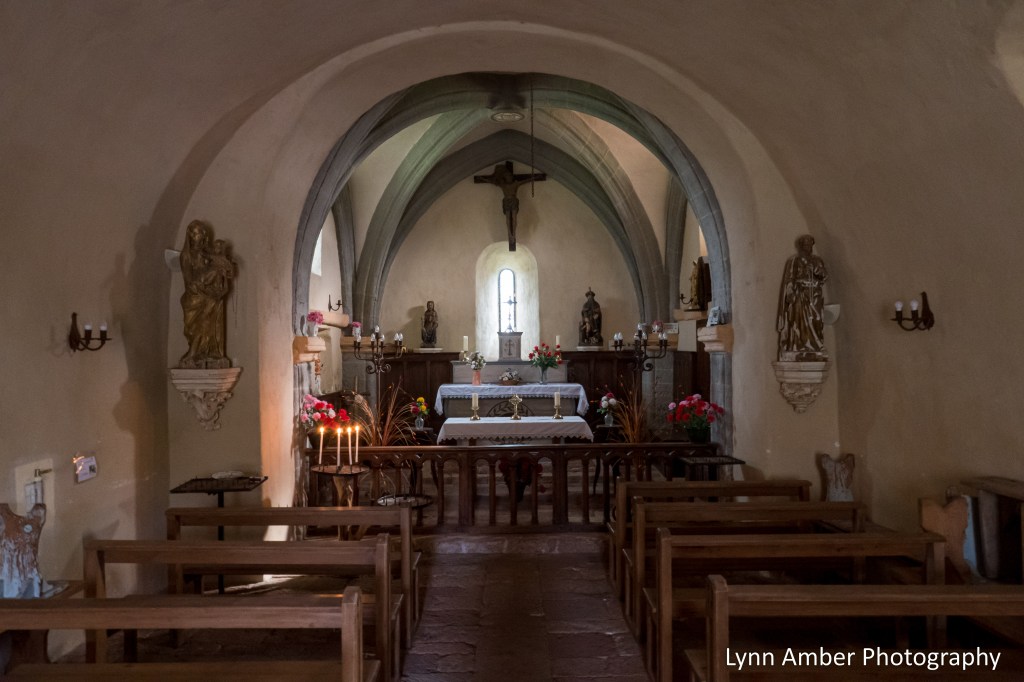
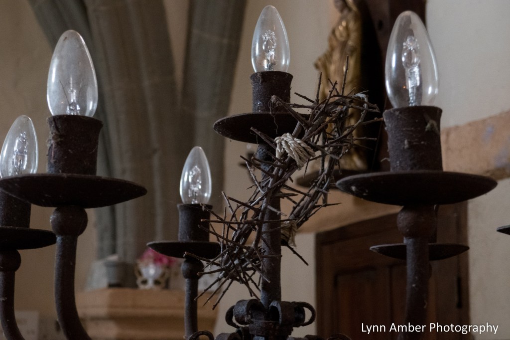
I noticed an interesting adornment on one of the candelabras and was wondering why it was placed here. It was a crown of thorns. Perhaps the upcoming religious holiday of “Pâques” or Easter as we know it in the United States had something to do with this symbolic gesture.
Before leaving the chapel, we encountered two local women – mother (Helene) and daughter (Fanny) – who volunteer their time to help maintain the chapel. If I’m remembering correctly, Helene mentioned that her grandfather was a stone mason and was involved in the restorative stone work surrounding the church. There was a great degree of pride exhibited by these women towards their duty to keep this beautiful chapel open and available to pilgrims.
It was a short walk into the village of Montbonnet from the chapel. We found a nice café open where we enjoyed a fantastic lunch for a grand total of 5 euros!
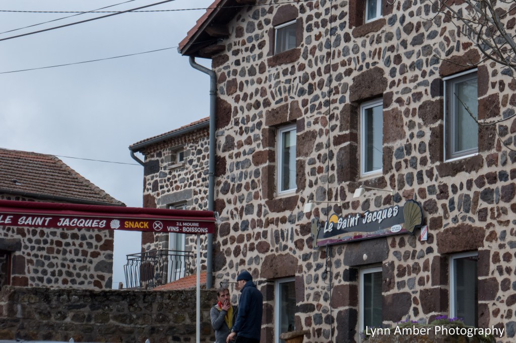
In regards to the gentlemen smoking outside the café, I must say that one of my observations along the Way was the amount of people who smoke in France. It was commonplace among locals and pilgrims. It surprised me and I’m still puzzled by it. I realize we still have many folks in the United States who choose to smoke but it’s not something I see every day like I did in France.
Planning Tip: Montbonnet is often a first night stay for those striking out from Le-Puy-en-Velay. There are several accommodations and services here. One thing I discovered deep into our walk is that many Camino guides key in on the same towns when suggesting stops. During busier times in the season, if you can alter your walking distances so that you are not ending the day in these more popular spots, you will have better luck getting accommodations.
Susan and I split up after lunch since we walk at different paces and I continued on to Saint-Privat-d’Allier ahead of her. It was a beautiful walk – climbing a moderate grade up out of Montbonnet and transitioning into more of a “trail” that wound through some forest land.
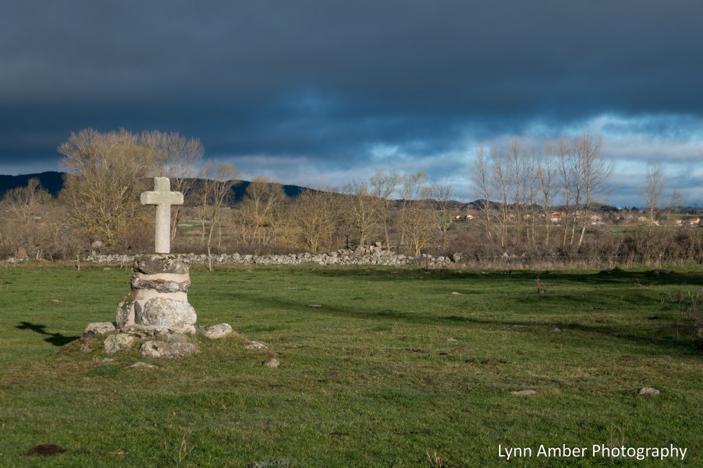
As the trail started to enter a forested area, I found this little spot off the trail where a spring bubbled up out of the ground. There was a pilgrim marker here. I’m thinking at one time this was a source of water for pilgrims.
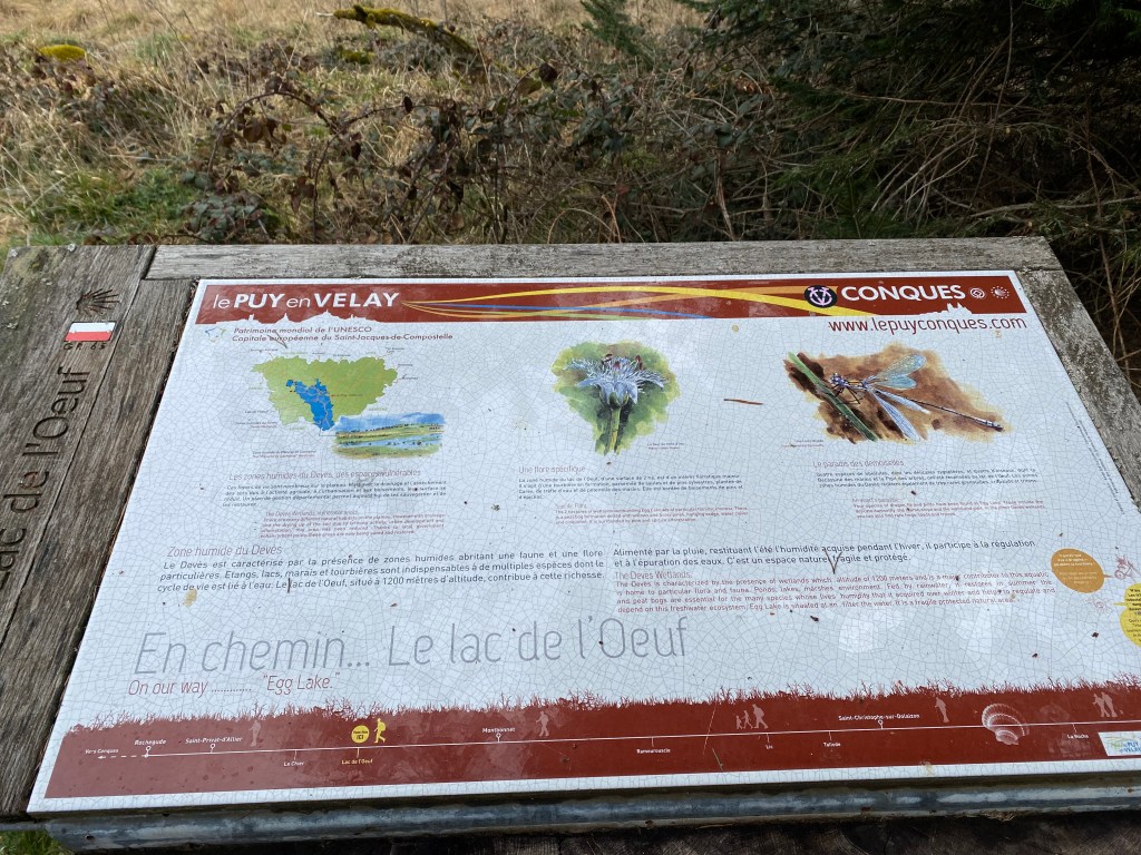
Up on this high plateau, there is a wetland area know as Le Lac de l’Oeuf. It was once much larger but due to agricultural activity and development has been significantly reduced from its former size. An effort to restore it is in progress as denotes this interpretive sign.
Coming out of the woods onto the high plateau affords a view of the town of Le Chier. Oddly enough, I read where this unfortunate name means “to take a dump.” Many people have speculated that the town was named as such to reflect the rich “aroma” of the surrounding agricultural dairy farming activity. Okay – makes sense, I guess! 🙂
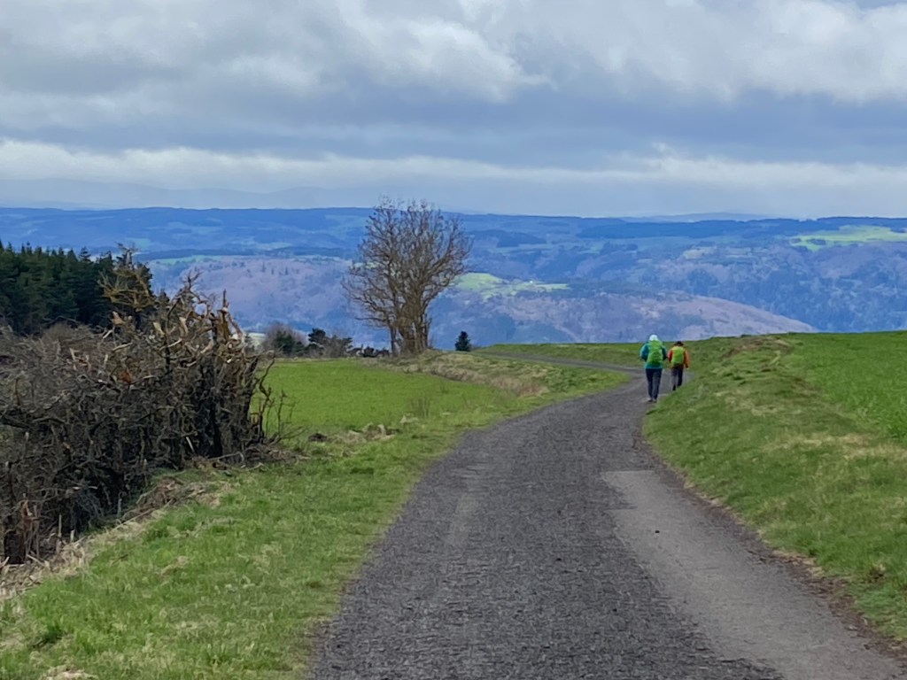

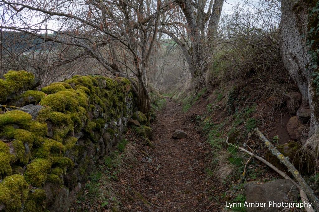
After the village of Le Chier, I started the somewhat steep descent into Saint-Privat-d’Allier. The dirt road turned into more of a path as it descended through another forested area.
As I approached the outskirts of Saint-Privat, I crossed over a sweet little stream with an adorable little stone cottage nestled in the woods. Sweet spot!
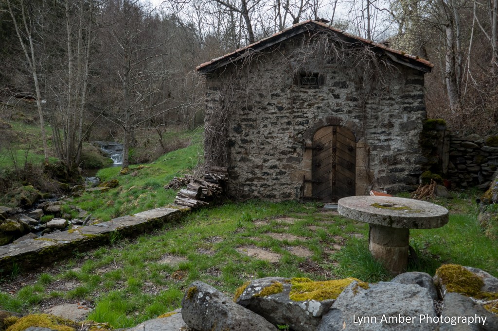
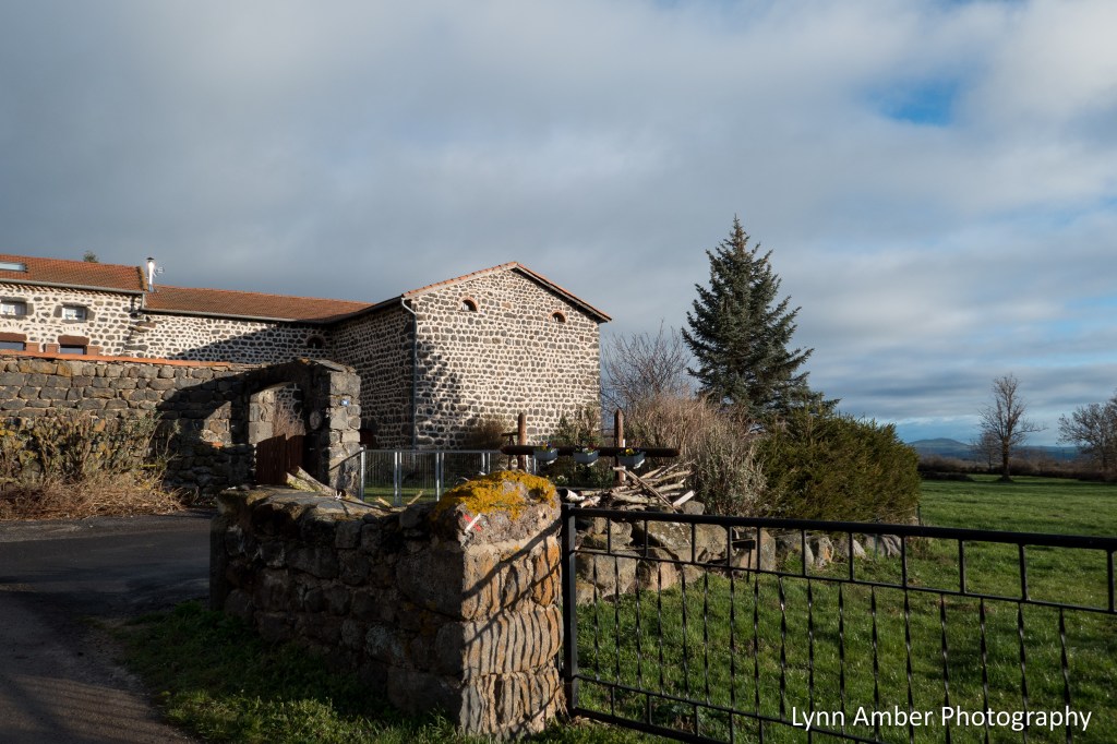
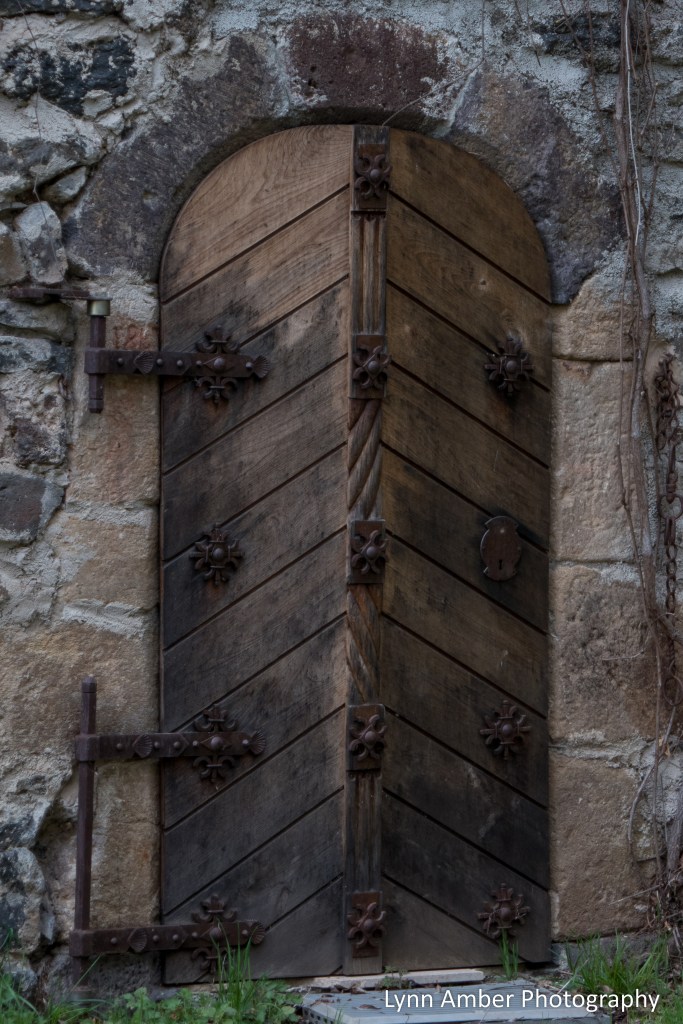
I was particularly taken with the ornate door! I was able to find a reference to this place as the Moulin de Pique-Meule – an old mill. One of several found along this stream due to a source of water for the mills.
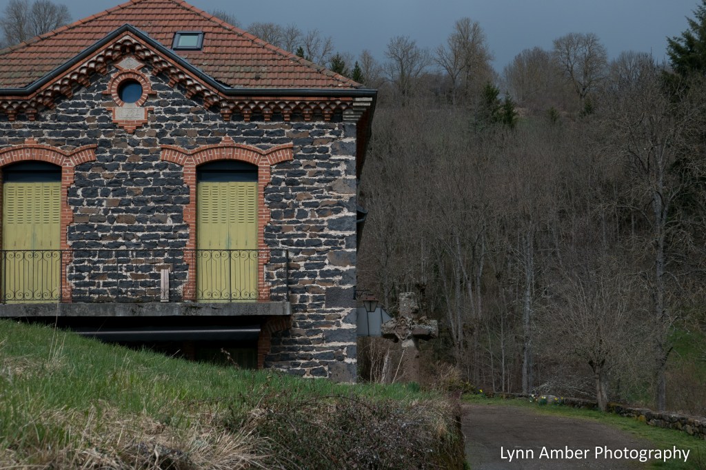
Further along the trail, as you enter the town, is the old farm that was part of the mill. I captured a photo of the one side of the extended building.
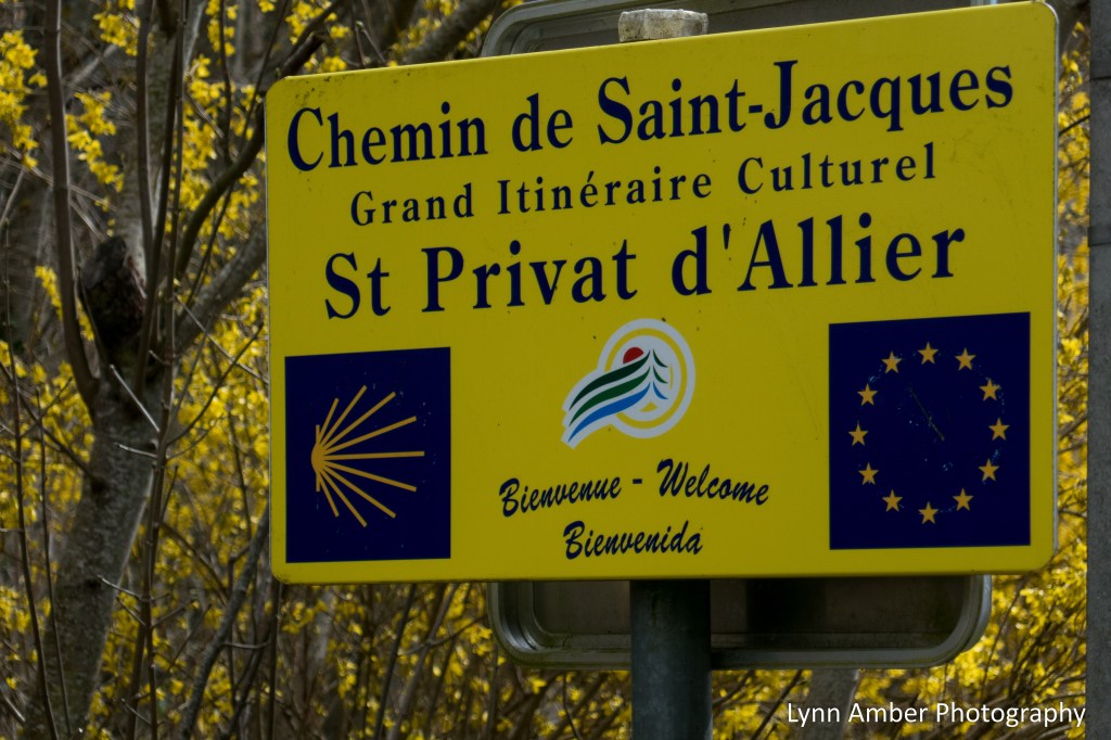
And I’ve arrived!! It was a 15 kilometer day and a glorious walk with so many interesting sights along the way. My first view of Saint-Privat-d’Allier as I rounded the corner and exited the woods was spectacular. I could not wait to explore this town. But first, I needed to find our accommodations – aptly named Chambre d’hôtes Le Saint-Bernard – as you will see later on!